Canada
-

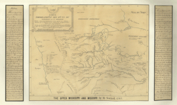
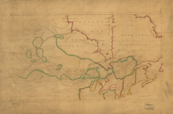
The upper Mississippi and Missouri
Price range: $39.95 through $69.95 -
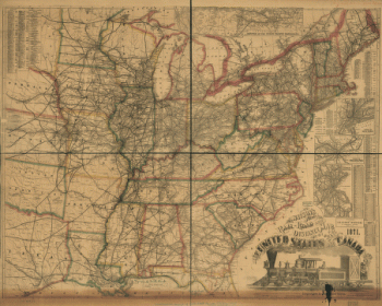
Watson's new rail-road and distance map of the United States and Canada, 1871
Price range: $39.95 through $69.95 -
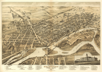
Bird's eye view of Brantford, province Ontario, Canada 1875
Price range: $39.95 through $69.95 -
Winnipeg
Price range: $39.95 through $69.95 -
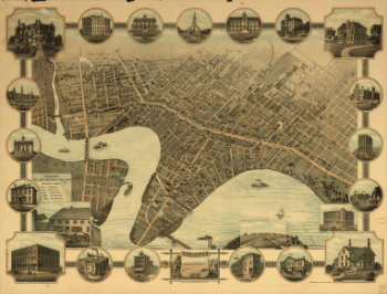
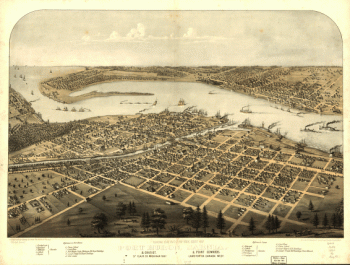
Birds eye view of the city of Port Huron, Sarnia & Gratiot, St. Clair Co., Michigan 1867
Price range: $39.95 through $69.95 -
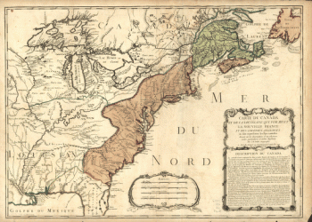
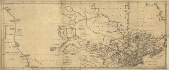
Canada and Louisiana
Price range: $39.95 through $69.95 -
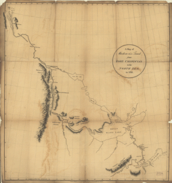
Mackenzie's track from Fort Chipewyan to the north sea in 1789
Price range: $39.95 through $69.95 -
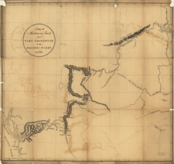
Mackenzie's track from Fort Chipewyan to the Pacific Ocean in 1793
Price range: $39.95 through $69.95 -
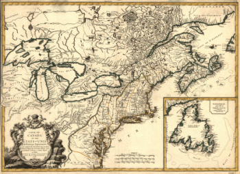
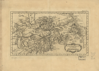
Carte du Canada et des Etats-Unis de l'Amérique Septentrionale
Price range: $39.95 through $69.95 -
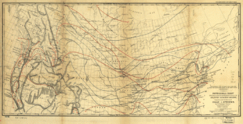
Isothermal chart of the region north of the 36th Parallel between the Atlantic & Pacific oceans
Price range: $39.95 through $69.95 -
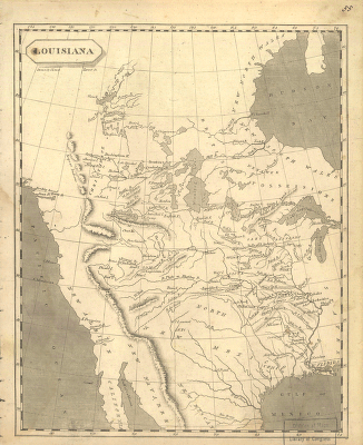
Louisiana
Price range: $39.95 through $69.95 -
A correct map of the seat of war
Price range: $39.95 through $69.95 -
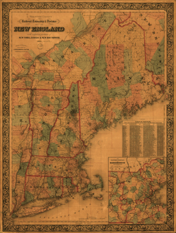
G. Woolworth Colton's railroad, township & distance map of New England with adjacent portions of New York, Canada & New Brunswick
Price range: $39.95 through $69.95 -
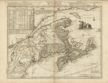
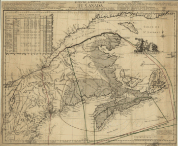
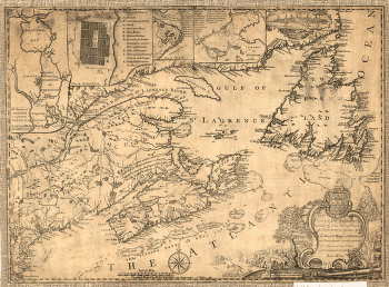
Partie orientale du Canada. Traduitte de l'anglois de la carte de Jefferys publiée à Londres en May 1755
Price range: $39.95 through $69.95 -
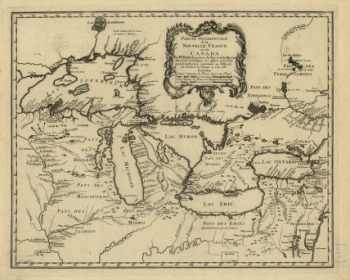
Partie occidentale de la Nouvelle France
Price range: $39.95 through $69.95 -
Carte des possessions françoises et angloises dans le Canada, et partie de la Louisiane, 1756
Price range: $39.95 through $69.95 -
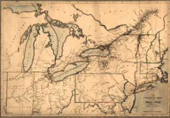
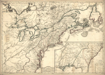
Canada and the north part of Louisiana with the adjacent countrys
Price range: $39.95 through $69.95 -
Canada and the north part of Louisiana with the adjacent countrys
Price range: $39.95 through $69.95 -
La Nouvelle France où Canada
Price range: $39.95 through $69.95 -
Partie orientale du Canada, traduitte de l'anglois de la carte de Jefferys publiée a Londres en May 1755
Price range: $39.95 through $69.95 -
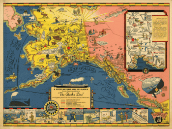
The Alaska Line
Price range: $39.95 through $69.95 -
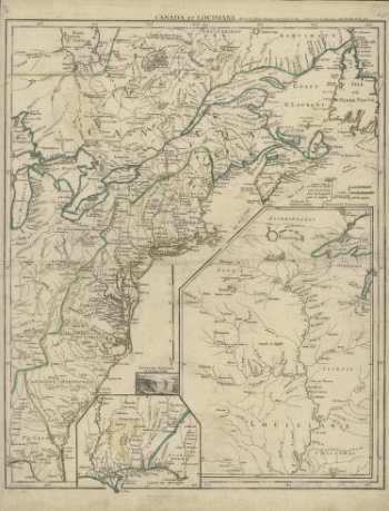
Canada et Louisiane, par le Sr. le Rouge ingénieur géographe du Roy.
Price range: $39.95 through $69.95 -
Partie de l'Amérique septent? qui comprend la Nouvelle France ou le Canada
Price range: $39.95 through $69.95 -
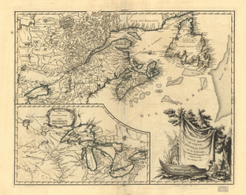
Province of Nova-Scotia and adjacent parts
Price range: $39.95 through $69.95