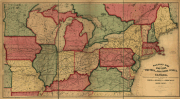
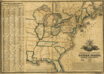
Canada
-

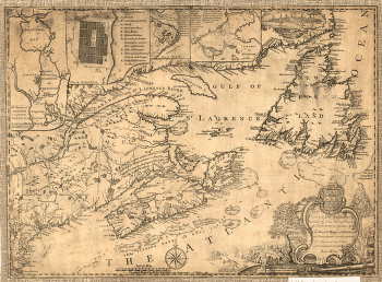
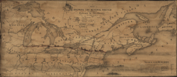
Province of Nova-Scotia and adjacent parts
$17.95 – $47.95 -
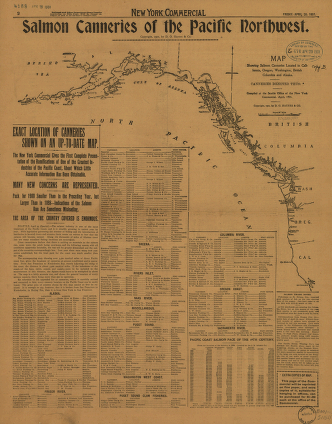
Salmon Canneries of the Pacific Northwest
$17.95 – $47.95 -
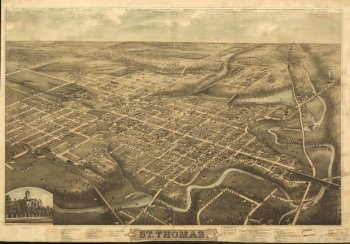
St. Thomas
$17.95 – $47.95 -
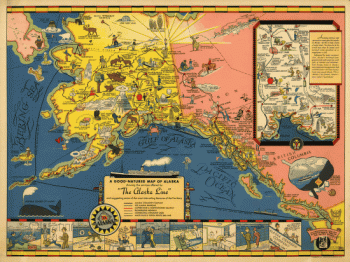
The Alaska Line
$17.95 – $47.95 -
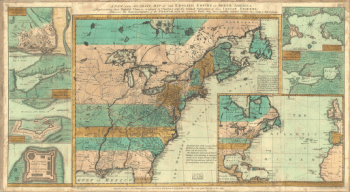
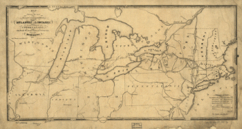
The English empire in North America
$17.95 – $47.95 -
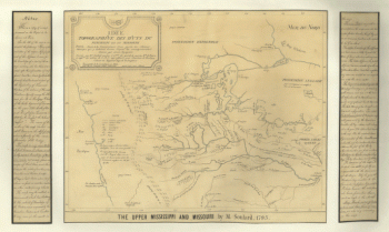
The upper Mississippi and Missouri
$17.95 – $47.95 -
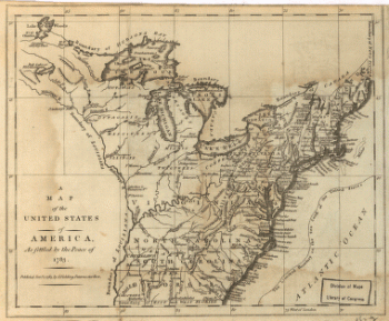
United States of America, as settled by the peace of 1783.
$17.95 – $47.95 -
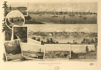
View of Victoria, Vancouver Island
$17.95 – $47.95 -
Winnipeg
$17.95 – $47.95