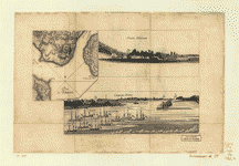
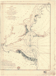
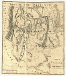
Vues de la rade de Charles-Town et de Fort Sulivan, mai 1780. CREATED/PUBLISHED n.p., 1780] NOTES Scale ca. 1:25,600. Title from Philip Lee Phillips' List of maps of America. Has watermark. Relief shown by hachures. The view of Charleston Harbor concerns the assault on Fort Sulivan during the siege of Charleston, 1780. Plan d'Amboy.–Fort-Sulivan.–Charles-Town.


