Home
All Products
Historic Maps
American Indian Maps
Birds Eye View Maps
Civil War Maps
Panoramic Maps
Railroad Maps
Revolutionary War Maps
State Maps
Historic Prints
Civil War Prints
Civil War Posters
Historic Portraits
Presidential Portraits
Contact Us
0
0
press
Enter
to search
Showing all results:
No products found.
New Jersey
Search
Search Product or SKU
×
Sort By
Default
Price: Low to High
Price: High to Low
Alphabetical
SKU
Categories
All
American Indian Maps
American Indian Photos
Birds Eye View Maps
CD Collections
Civil War Maps
Civil War Posters
Civil War Prints
Panoramic Maps
Photo-chromes
Presidential Portraits
Railroad Maps
Revolutionary War Maps
Boston
Canada
New England
New Jersey
New York
South
St. Augustine
State Maps
Showing
“New Jersey”
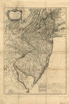
The State of New Jersey
$
17.95
–
$
47.95
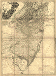
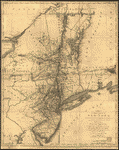
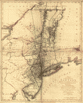
The provinces of New York, and New Jersey
$
17.95
–
$
47.95
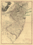
The provinces of New York, and New Jersey
$
17.95
–
$
47.95
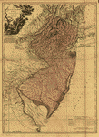
The provinces of New York, and New Jersey
$
17.95
–
$
47.95
The provinces of New York and New Jersey, with part of Pensilvania, and the province of Quebec
$
17.95
–
$
47.95
The provinces of New York and New Jersey
$
17.95
–
$
47.95
The provinces of New York and New Jersey
$
17.95
–
$
47.95
The Province of New Jersey, divided into East and West, commonly called the Jerseys
$
17.95
–
$
47.95
The Province of New Jersey, divided into East and West, commonly called the Jerseys
$
17.95
–
$
47.95
The Province of New Jersey, divided into East and West, commonly called the Jerseys
$
17.95
–
$
47.95
The Province of New Jersey, divided into East and West, commonly called the Jerseys
$
17.95
–
$
47.95
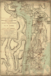
The operations of the King's army under the command of General Sr William Howe
$
17.95
–
$
47.95
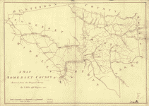
Somerset County
$
17.95
–
$
47.95
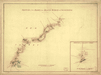
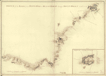
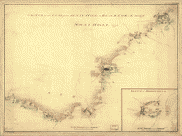
Sketch of the road from Black Horse to Crosswick
$
17.95
–
$
47.95
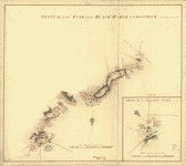
Sketch of the road from Black Horse to Crosswick
$
17.95
–
$
47.95
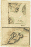
Sketch of Haddonfield, March 1778
$
17.95
–
$
47.95
Sketch of Haddonfield
$
17.95
–
$
47.95
Seat of war in North America, comprehending New Jersey, Philadelphia, Pensylvania, New-York
$
17.95
–
$
47.95
Province of New-York
$
17.95
–
$
47.95
Province of New York
$
17.95
–
$
47.95
Position du camp de l'armee combinee a Philipsburg du 6 juillet au 19 aoust
$
17.95
–
$
47.95
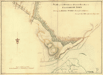
Plan of the road from Elizabeth Town Point to Elizabeth Town
$
17.95
–
$
47.95
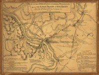
Plan of the operations of General Washington against the King's troops in New Jersey
$
17.95
–
$
47.95
Plan of Princeton, Dec 31, 1776
$
17.95
–
$
47.95
Plan of Perth Amboy from an actual survey
$
17.95
–
$
47.95
Plan of part of the River Delaware from Chester to Philadelphia
$
17.95
–
$
47.95
Plan d'Amboy
$
17.95
–
$
47.95
Part of the Provinces of New York and New Jersey
$
17.95
–
$
47.95
Operations of the King's army under the command of General Sir William Howe
$
17.95
–
$
47.95
Operations in America No 2
$
17.95
–
$
47.95
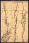
Northern New Jersey – 3 Maps
$
17.95
–
$
47.95
New York Island and East Jersey
$
17.95
–
$
47.95
New York & New Jersey commissioners line from 410 on Hudson's River taken in 1769
$
17.95
–
$
47.95
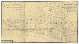
Monmouth County
$
17.95
–
$
47.95
Middlesex County
$
17.95
–
$
47.95
Mappa geographica Provinciae Nova Eboraci ab Anglis New-York
$
17.95
–
$
47.95
Map showing the west shore of the North or Hudson River
$
17.95
–
$
47.95
Map of the coast of New Jersey from Barnegat Inlet to Cape May
$
17.95
–
$
47.95
Lines run in the Jersies for determining boundaries between that Province & New York
$
17.95
–
$
47.95
Hudsons River – topographical
$
17.95
–
$
47.95
Carte de l'entree de la rivière d'Hudson
$
17.95
–
$
47.95
Carte de l'entree de la rivière d'Hudson
$
17.95
–
$
47.95
Carte de l'affaire de Montmouth
$
17.95
–
$
47.95
British outposts between Burlington and New Bridge, New Jersey
$
17.95
–
$
47.95
Amboy to Elizabethtown
$
17.95
–
$
47.95
A sketch of the operations of His Majesty's fleet
$
17.95
–
$
47.95
A sketch of the northern parts of New Jersey
$
17.95
–
$
47.95
A new and accurate map of New Jersey, from the best authorities
$
17.95
–
$
47.95
1
2
Load More
All products loaded.
Search Product or SKU
×
Home
All Products
Historic Maps
American Indian Maps
Birds Eye View Maps
Civil War Maps
Panoramic Maps
Railroad Maps
Revolutionary War Maps
State Maps
Historic Prints
Civil War Prints
Civil War Posters
Historic Portraits
Presidential Portraits
Contact Us
Cart
0
Cart
Close
Updating…
No products in the cart.
Continue shopping