Virginia
-

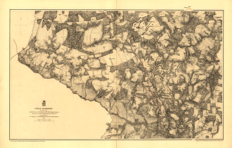
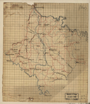
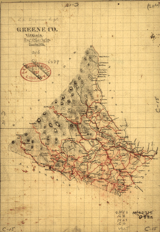
Greene County, Virginia
$17.95 – $47.95 -
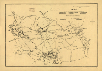
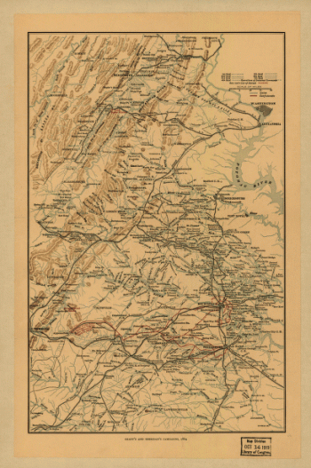
Grant's and Sheridan's campaigns, 1864 and 1865
$17.95 – $47.95 -
General map of the battle-field of Manassas
$17.95 – $47.95 -
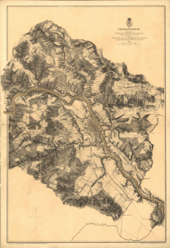
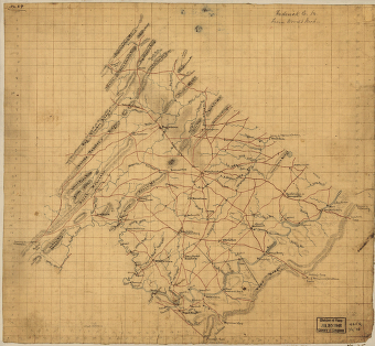
Fredericksburg in Dec. 1862
$17.95 – $47.95 -
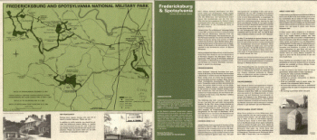
Fredericksburg and Spotsylvania National Military Park
$17.95 – $47.95 -
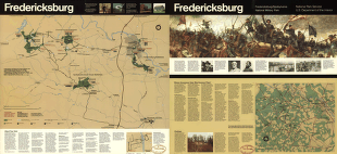
Fredericksburg
$17.95 – $47.95 -
Frederick County from from Wood's map
$17.95 – $47.95 -
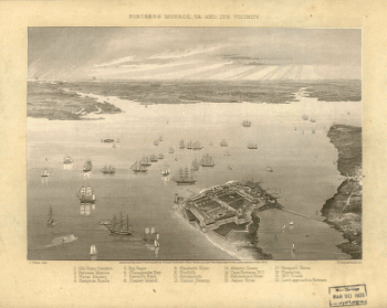
Fortress Monroe, Va. and its vicinity
$17.95 – $47.95 -
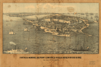
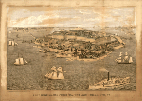
Fort Monroe, Old Point Comfort and Hygeia Hotel
$17.95 – $47.95 -
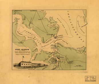
Fort Monroe and vicinity
$17.95 – $47.95 -
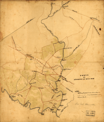
Fords on Occoquan and Bull Run
$17.95 – $47.95 -
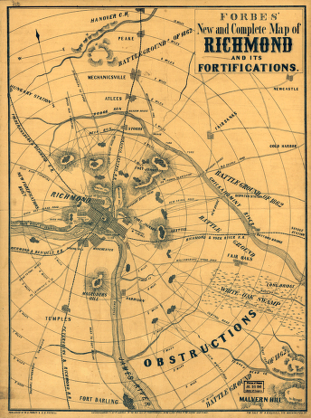
Forbes' new and complete map of Richmond and its fortifications
$17.95 – $47.95 -
First Manassas
$17.95 – $47.95 -
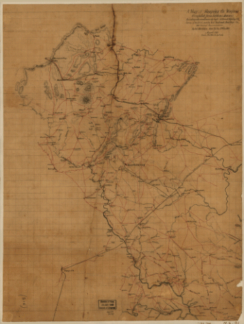
Fauquier County, Virginia
$17.95 – $47.95 -
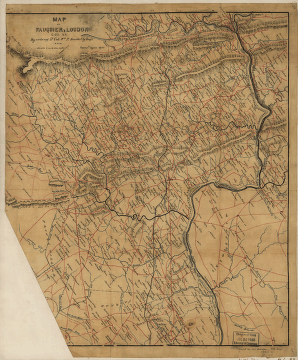
Fauquier & Loudon counties
$17.95 – $47.95 -
Fairfax County, and parts of Loudoun and Prince William Counties
$17.95 – $47.95 -
Culpeper County
$17.95 – $47.95 -
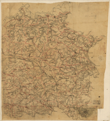
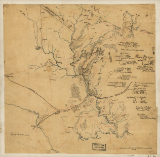
Cold Harbor. [June 1-3, 1864]
$17.95 – $47.95 -
Cold Harbor. [June 1-3, 1864]
$17.95 – $47.95 -
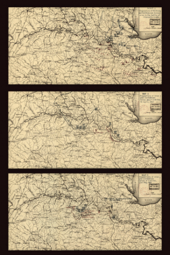
Cold Harbor – June 1-3, 1864
$17.95 – $47.95 -
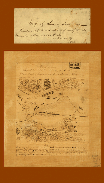
Clover Hill (Appomattox Court House) Virginia
$17.95 – $47.95 -
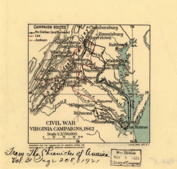
Civil War Virginia campaigns, 1862
$17.95 – $47.95 -
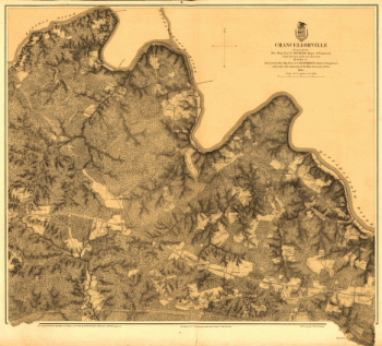
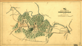
Chancellorville – May 1-3, 1863
$17.95 – $47.95 -
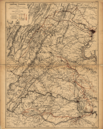
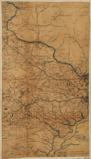
Central Virginia
$17.95 – $47.95 -
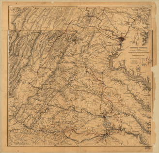
Central Virginia
$17.95 – $47.95 -
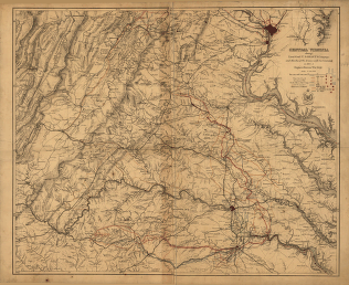
Central Virginia
$17.95 – $47.95 -
Caroline County, Virginia
$17.95 – $47.95 -
Caroline County, Va.
$17.95 – $47.95 -
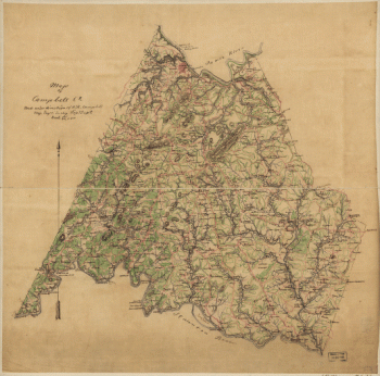
Campbell County
$17.95 – $47.95 -
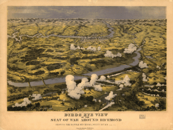
Birds eye view of the seat of war around Richmond
$17.95 – $47.95 -
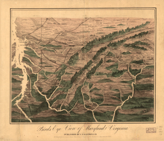
Birds eye view of Maryland and Virginia
$17.95 – $47.95 -
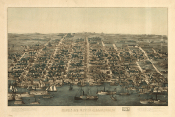
Birds eye view of Alexandria, Va.
$17.95 – $47.95 -
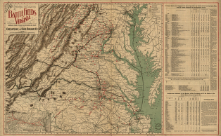
Battlefields of Virginia
$17.95 – $47.95 -
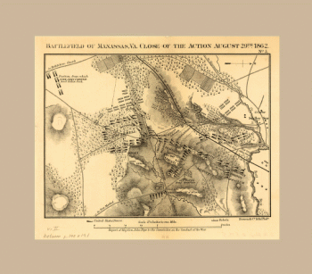
Battlefield of Manassas, Va.
$17.95 – $47.95 -
Battlefield of Chancellorsville, Va. 1863
$17.95 – $47.95 -
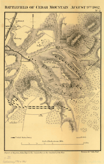
Battlefield of Cedar Mountain, August 9th, 1862
$17.95 – $47.95 -
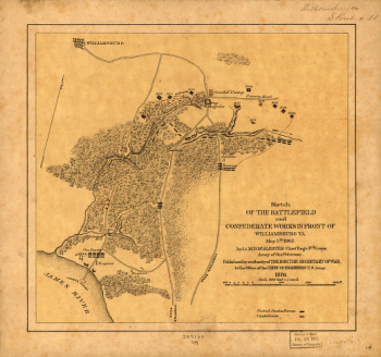
Battlefield and Confederate works in front of Williamsburg, Va
$17.95 – $47.95 -
Battle-field of Gaines's Mill
$17.95 – $47.95 -
Battle of Malvern Hill
$17.95 – $47.95 -
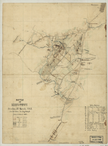
Battle of Kernstown
$17.95 – $47.95 -
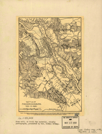
Battle of Fredericksburg. Dec. 13, 1862
$17.95 – $47.95 -
Battle of Chancellorsville
$17.95 – $47.95 -
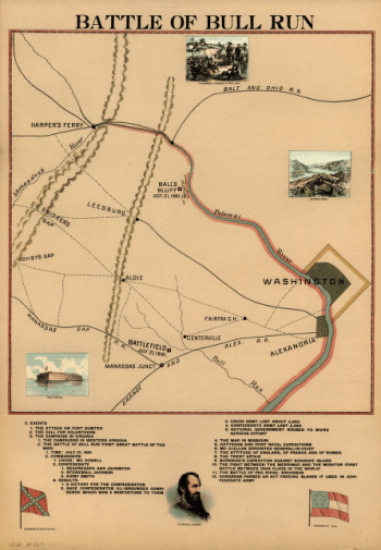
Battle of Bull Run
$17.95 – $47.95 -
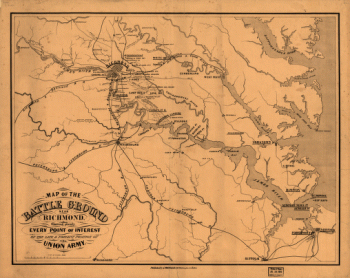
Battle ground near Richmond
$17.95 – $47.95 -
Battle fields of Virginia
$17.95 – $47.95 -
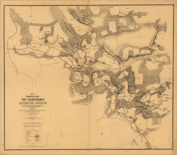
Battle fields of the Tolopotomoy, and Bethesda Church
$17.95 – $47.95 -
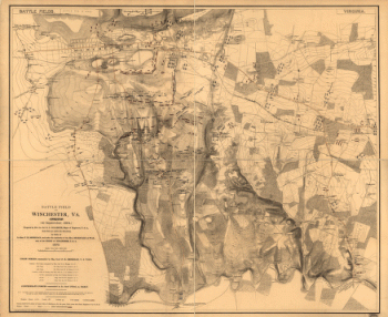
Battle field of Winchester, Va. (Opequon)
$17.95 – $47.95

![Cold Harbor. [June 1-3, 1864]](https://www.ushistoricalarchive.com/wp-content/uploads/nc/data/products/im/cw/va1/b44-350x469.gif)
![Cold Harbor. [June 1-3, 1864]](https://www.ushistoricalarchive.com/wp-content/uploads/nc/data/products/im/cw/va1/b43-350x232.gif)