Home
All Products
Historic Maps
American Indian Maps
Birds Eye View Maps
Civil War Maps
Panoramic Maps
Railroad Maps
Revolutionary War Maps
State Maps
Historic Prints
Civil War Prints
Civil War Posters
Historic Portraits
Presidential Portraits
Contact Us
0
0
press
Enter
to search
Showing all results:
No products found.
North Carolina
Search
Search Product or SKU
×
Sort By
Default
Price: Low to High
Price: High to Low
Alphabetical
SKU
Categories
All
American Indian Maps
American Indian Photos
Birds Eye View Maps
CD Collections
Civil War Maps
Alabama
Arkansas
Connecticut
District of Columbia
Florida
Georgia
Illinois
Kentucky
Louisiana
Maryland
Mississippi
Missouri
North Carolina
Ohio
Pennsylvania
South Carolina
Tennessee
Virginia
West Virginia
Civil War Posters
Civil War Prints
Panoramic Maps
Photo-chromes
Presidential Portraits
Railroad Maps
Revolutionary War Maps
St. Augustine
State Maps
Showing
“North Carolina”
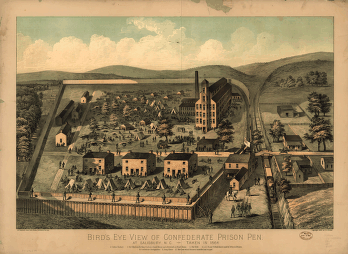
Bird's eye view of Confederate prison pen at Salisbury, N.C.
$
17.95
–
$
47.95
Coast of North Carolina & Virginia
$
17.95
–
$
47.95
Coast of North Carolina & Virginia
$
17.95
–
$
47.95
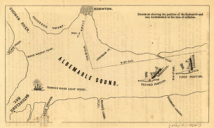
Diagram showing the position of the Sassacus and ram Albemarle at the time of collision
$
17.95
–
$
47.95
Eastern portion of the military department of North Carolina
$
17.95
–
$
47.95
J. H. Colton's topographical map of North and South Carolina
$
17.95
–
$
47.95
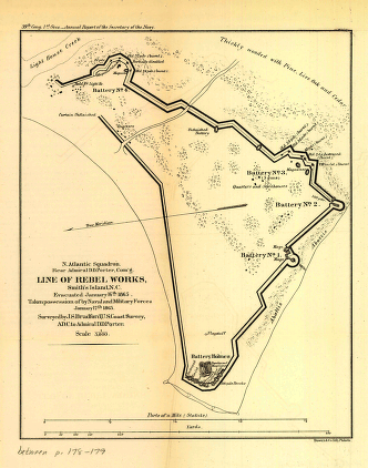
Line of rebel works, Smith's Island, N.C.
$
17.95
–
$
47.95
Map of the battlefield of Roanoke
$
17.95
–
$
47.95
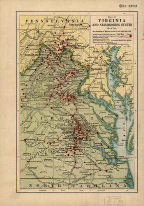
Map of Virginia and neighboring states
$
17.95
–
$
47.95
Mountain region of North Carolina and Tennessee
$
17.95
–
$
47.95
Mountain region of North Carolina and Tennessee
$
17.95
–
$
47.95
Mouths of Roanoke River, North Carolina
$
17.95
–
$
47.95
North Carolina coast line
$
17.95
–
$
47.95
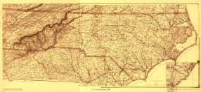
North Carolina Drawn by A. Lindenkohl
$
17.95
–
$
47.95
North Carolina showing approaches to Wilmington
$
17.95
–
$
47.95
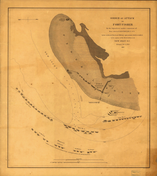
Order of attack on Fort Fisher by the Squadron
$
17.95
–
$
47.95
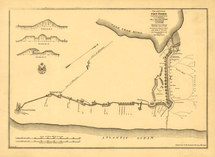
Plan and sections of Fort Fisher
$
17.95
–
$
47.95
Plan of Fort Anderson, Cape Fear River, N.C
$
17.95
–
$
47.95
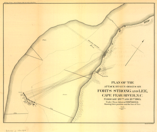
Plan of the attack by gun-boats on Forts Strong and Lee
$
17.95
–
$
47.95
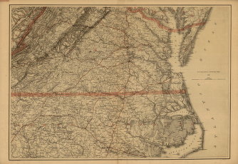
S.E. portion of Virginia and N.E. portion of North Carolina
$
17.95
–
$
47.95
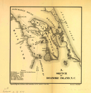
Sketch of Roanoke Island, N.C.
$
17.95
–
$
47.95
Sketch of the coast of North Carolina from Oregon Inlet to Ocracoke Inlet
$
17.95
–
$
47.95
Sketch of vicinity of Fort Fisher
$
17.95
–
$
47.95
Sketch showing route of the Burnside expedition to Roanoke Island, N.C.
$
17.95
–
$
47.95
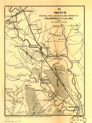
Sketch showing route pursued in the advance to Goldsboro, N.C.
$
17.95
–
$
47.95
Sketch showing the position of the attacking and defending forces at the siege of Washington, N.C.
$
17.95
–
$
47.95
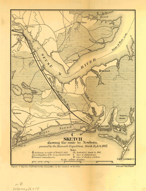
Sketch showing the route to Newbern
$
17.95
–
$
47.95
Southern Virginia and northern North Carolina
$
17.95
–
$
47.95
The war in North Carolina
$
17.95
–
$
47.95
Search Product or SKU
×
Home
All Products
Historic Maps
American Indian Maps
Birds Eye View Maps
Civil War Maps
Panoramic Maps
Railroad Maps
Revolutionary War Maps
State Maps
Historic Prints
Civil War Prints
Civil War Posters
Historic Portraits
Presidential Portraits
Contact Us
Cart
0
Cart
Close
Updating…
No products in the cart.
Continue shopping