Home
All Products
Historic Maps
American Indian Maps
Birds Eye View Maps
Civil War Maps
Panoramic Maps
Railroad Maps
Revolutionary War Maps
State Maps
Historic Prints
Civil War Prints
Civil War Posters
Historic Portraits
Presidential Portraits
Contact Us
0
0
press
Enter
to search
Showing all results:
No products found.
Kentucky
Search
Search Product or SKU
×
Sort By
Default
Price: Low to High
Price: High to Low
Alphabetical
SKU
Categories
All
American Indian Maps
American Indian Photos
Birds Eye View Maps
CD Collections
Civil War Maps
Alabama
Arkansas
Connecticut
District of Columbia
Florida
Georgia
Illinois
Kentucky
Louisiana
Maryland
Mississippi
Missouri
North Carolina
Ohio
Pennsylvania
South Carolina
Tennessee
Virginia
West Virginia
Civil War Posters
Civil War Prints
Panoramic Maps
Photo-chromes
Presidential Portraits
Railroad Maps
Revolutionary War Maps
St. Augustine
State Maps
Showing
“Kentucky”
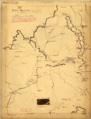
Across Kentucky Drawn by G.H.B
$
17.95
–
$
47.95
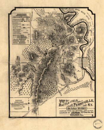
Map of the battle-field of Perryville, Ky
$
17.95
–
$
47.95
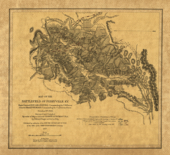
Map of the battlefield of Perryville, Ky
$
17.95
–
$
47.95
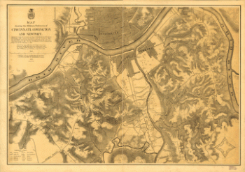
Map showing the military defences of Cincinnati, Covington and Newport
$
17.95
–
$
47.95
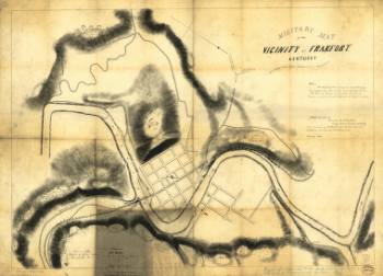
Military map of the vicinity of Frankfort, Kentucky
$
17.95
–
$
47.95
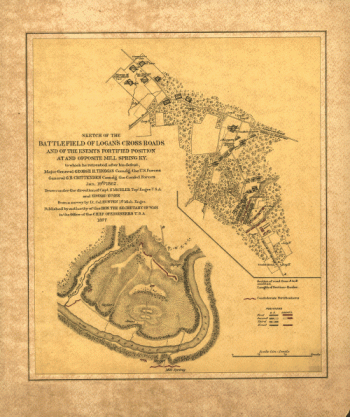
Sketch of the battlefield of Logan's Cross Roads
$
17.95
–
$
47.95
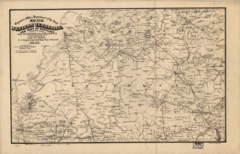
Western Tennessee, and part of Kentucky
$
17.95
–
$
47.95
Search Product or SKU
×
Home
All Products
Historic Maps
American Indian Maps
Birds Eye View Maps
Civil War Maps
Panoramic Maps
Railroad Maps
Revolutionary War Maps
State Maps
Historic Prints
Civil War Prints
Civil War Posters
Historic Portraits
Presidential Portraits
Contact Us
Cart
0
Cart
Close
Updating…
No products in the cart.
Continue shopping