Virginia
-

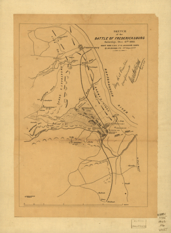
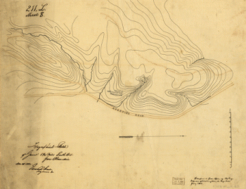
Sketch of the battle of Fredericksburg
$17.95 – $47.95 -
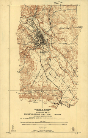
Topographic map of Fredericksburg and vicinity, Virginia
$17.95 – $47.95 -
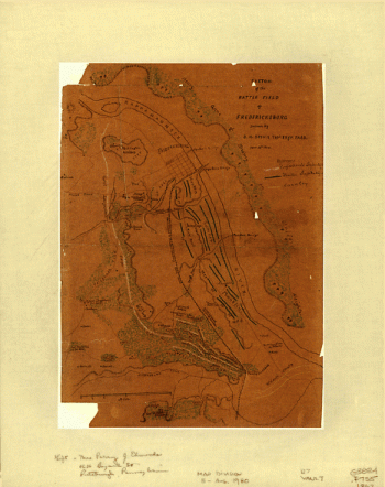
Sketch of the battle field of Fredericksburg
$17.95 – $47.95 -
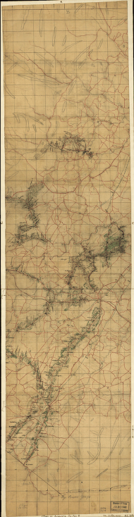
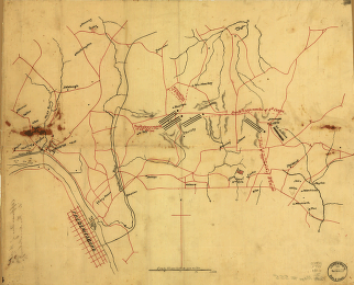
Approaches of A. of P. to Fredericksburg
$17.95 – $47.95 -
Fredericksburg
$17.95 – $47.95 -
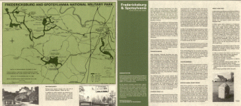
Fredericksburg and Spotsylvania National Military Park
$17.95 – $47.95 -
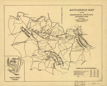
Map of the Fredericksburg-Spotsylvania Battlefield Park
$17.95 – $47.95 -
Frederick County from from Wood's map
$17.95 – $47.95 -
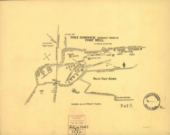
Plan of Fort Sedgwick generally known as Fort Hell
$17.95 – $47.95 -
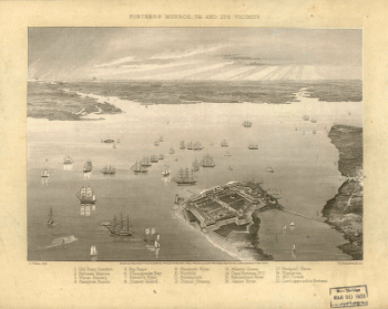
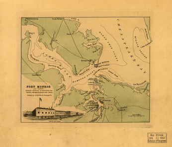
Fortress Monroe, Va. and its vicinity
$17.95 – $47.95 -
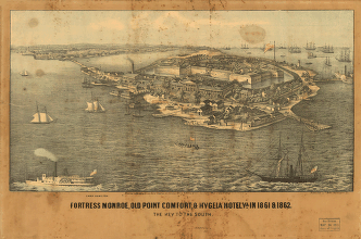
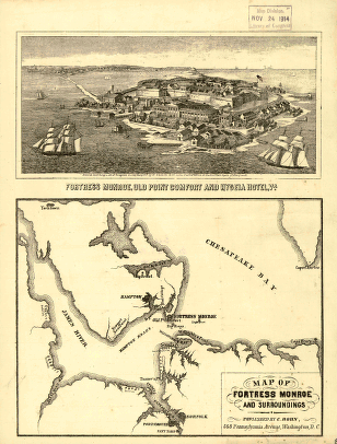
Fort Monroe, Old Point Comfort and Hygeia Hotel
$17.95 – $47.95 -
Map of Fortress Monroe and surroundings
$17.95 – $47.95 -
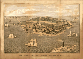
Fort Monroe and vicinity
$17.95 – $47.95 -
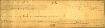
Section from Mary Hall to flags-staff Ethan Allen
$17.95 – $47.95 -
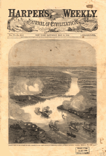
Balloon view of the attack on Fort Darling in the James River
$17.95 – $47.95 -
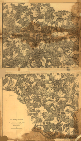
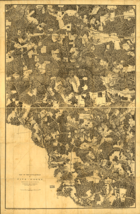
Map of the battlefield of Five-Forks
$17.95 – $47.95 -
The battlefield of Five-Forks
$17.95 – $47.95 -
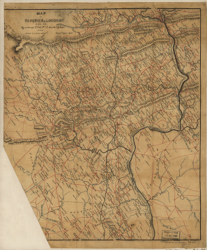
Fauquier & Loudon counties
$17.95 – $47.95 -
Parts of Fauquier, Prince William, and Rappahannock counties
$17.95 – $47.95 -
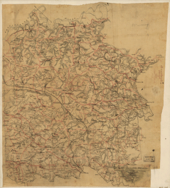
Fauquier County, Virginia
$17.95 – $47.95 -
High Bridge and Farmville. [1865]
$17.95 – $47.95 -
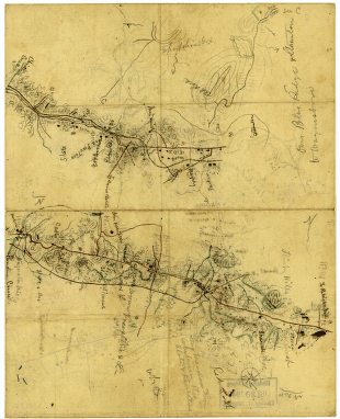
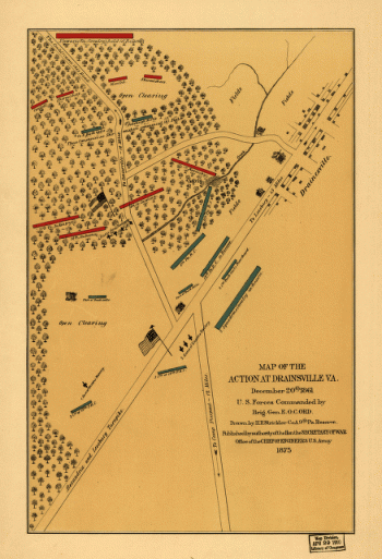
The action at Drainsville, Va., December 20th 1861
$17.95 – $47.95 -
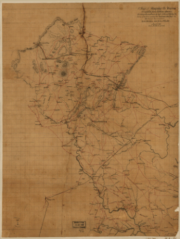
Culpeper County
$17.95 – $47.95 -
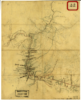
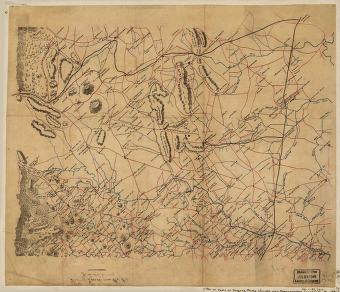
Sketch of the vicinity of Cross Keys, Va.
$17.95 – $47.95 -
Cold Harbor. [June 1-3, 1864]
$17.95 – $47.95 -
Cold Harbor. [June 1-3, 1864]
$17.95 – $47.95 -
Cold Harbor – June 1-3, 1864
$17.95 – $47.95 -
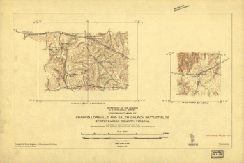
Chancellorville – May 1-3, 1863
$17.95 – $47.95 -
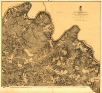
Battlefield of Chancellorsville, Va. 1863
$17.95 – $47.95 -
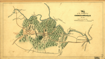
Battle of Chancellorsville
$17.95 – $47.95 -
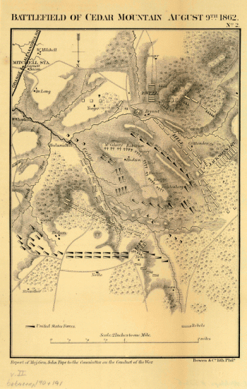
Battlefield of Cedar Mountain, August 9th, 1862
$17.95 – $47.95 -
Parts of Caroline, Hanover, and Henrico counties
$17.95 – $47.95 -
Caroline County, Va.
$17.95 – $47.95 -
Caroline County, Virginia
$17.95 – $47.95 -
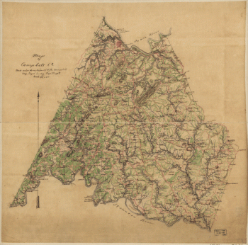
Campbell County
$17.95 – $47.95 -
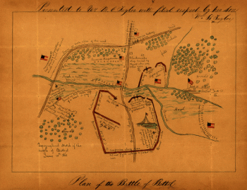
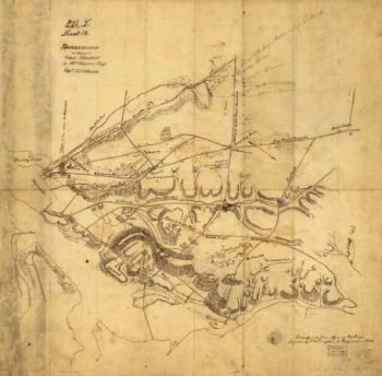
Topographical sketch of the Battle of Bethel
$17.95 – $47.95 -
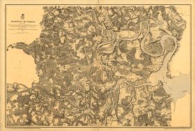
muda Hundred
$17.95 – $47.95 -
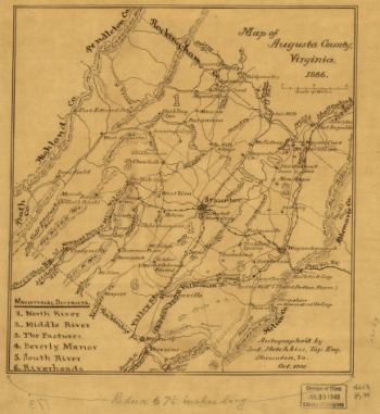
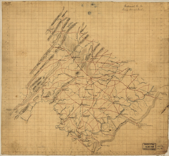
Map of Augusta County, Virginia in 1886
$17.95 – $47.95 -
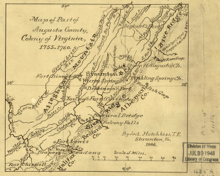
Part of Augusta County, Colony of Virginia
$17.95 – $47.95 -
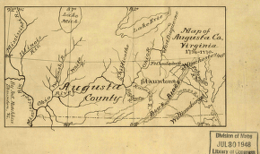
Map of Augusta Co., Virginia, 1738-1770
$17.95 – $47.95 -
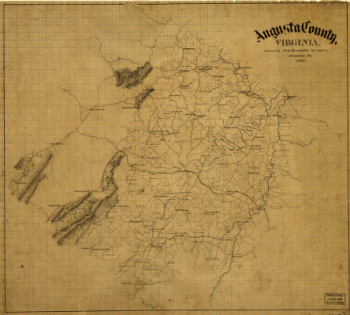
Augusta County, Virginia
$17.95 – $47.95 -
Augusta County, Va
$17.95 – $47.95 -
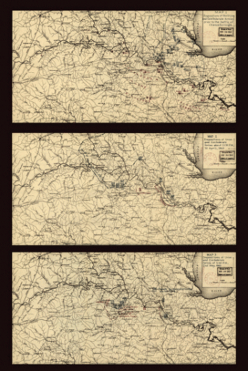
Sketch of the road from Waynesboro toward Staunton – Map 2
$17.95 – $47.95 -
Sketch of the road from Waynesboro toward Staunton – Map 1
$17.95 – $47.95 -
Reconnaissance in advance of Camp Mansfield
$17.95 – $47.95

![High Bridge and Farmville. [1865]](https://www.ushistoricalarchive.com/wp-content/uploads/nc/data/products/im/cw/va1/b57.gif)
![Cold Harbor. [June 1-3, 1864]](https://www.ushistoricalarchive.com/wp-content/uploads/nc/data/products/im/cw/va1/b44-350x469.gif)
![Cold Harbor. [June 1-3, 1864]](https://www.ushistoricalarchive.com/wp-content/uploads/nc/data/products/im/cw/va1/b43-350x232.gif)