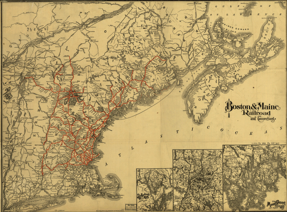
Boston & Maine Railroad and connections. Rand McNally and Company. Map of New England and part of Canada showing relief by hachures, major drainage, cities and towns, state boundaries, and the railroad network with main lines emphasized. CREATED/PUBLISHED Boston, [1898] Scale ca. 1:1,000,000.


