12" x 18"
-

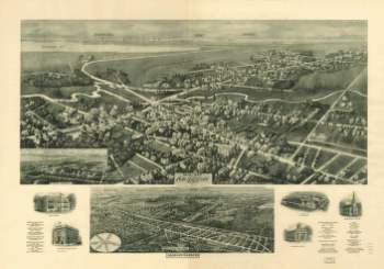
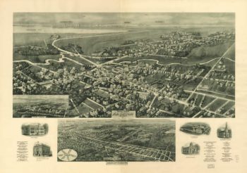
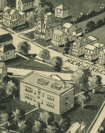
Aero-view of Absecon, New Jersey 1924.
$17.95 – $47.95 -
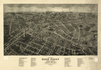
Aero view of High Point, North Carolina by J. J. Farris.
$17.95 – $47.95 -
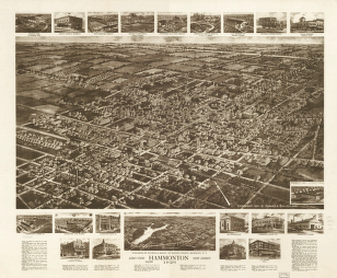
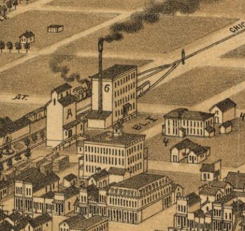
Aero view of Hammonton, New Jersey 1926.
$17.95 – $47.95 -
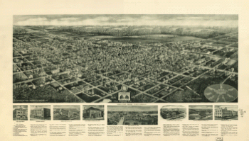
Aero view of Egg Harbor City, New Jersey.
$17.95 – $47.95 -
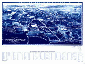
Aero view of Chickamauga and Chattanooga National Military Park
$17.95 – $47.95 -
Aero view of Chickamauga and Chattanooga National Military Park
$17.95 – $47.95 -
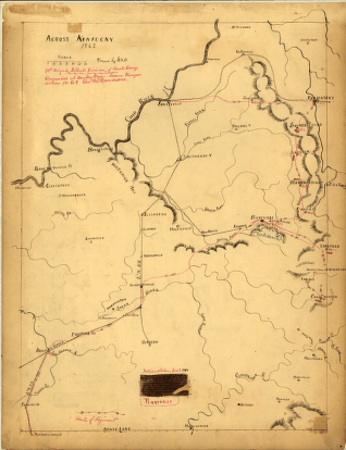
Across Kentucky Drawn by G.H.B
$17.95 – $47.95 -

Absecon NJ 1924
$17.95 – $47.95 -
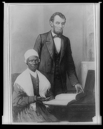
Abraham Lincoln
$17.95 – $47.95 -
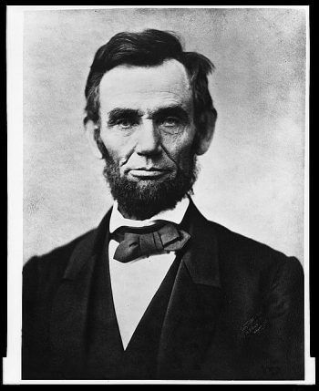
Abraham Lincoln
$17.95 – $47.95 -
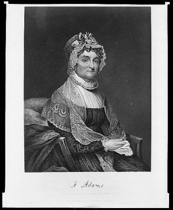
Abigail Adams
$17.95 – $47.95 -
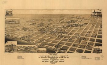
Aberdeen SD 1883
$17.95 – $47.95 -
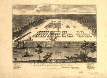
A view of Savannah as it stood the 29th of March 1734.
$17.95 – $47.95 -
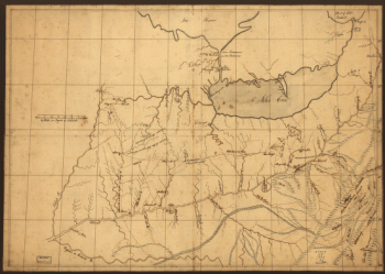
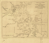
A trader's map of the Ohio country before 1753.
$17.95 – $47.95 -
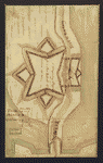
A tracing relating to Fort Washington or Knyphausen.
$17.95 – $47.95 -
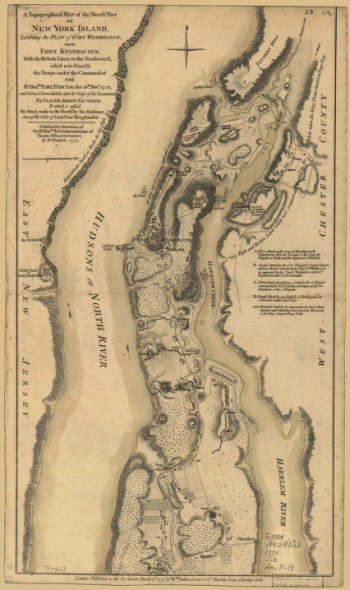
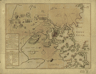
A topographical map of the northn. part of New York Island
$17.95 – $47.95 -
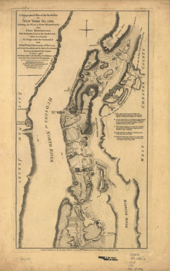
A topographical map of the northn. part of New York Island
$17.95 – $47.95 -
A Temporary project for a star readout to contain 150 men
$17.95 – $47.95 -
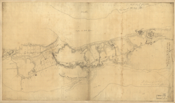
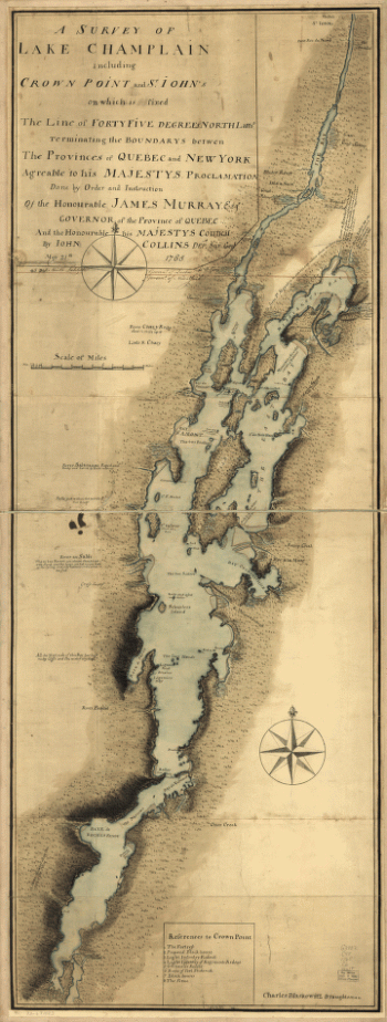
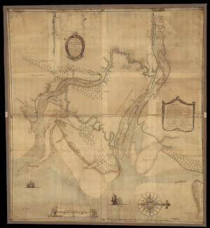
A survey of Lake Champlain including Crown Point and St. Iohn's
$17.95 – $47.95 -
A survey of Lake Champlain including Crown Point and St Iohn's
$17.95 – $47.95 -
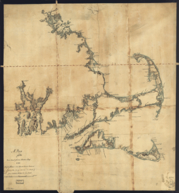
A survey of Lake Champlain
$17.95 – $47.95 -
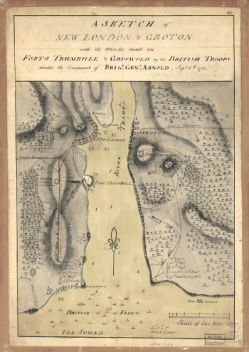
A sketch of the operations of His Majesty's fleet
$17.95 – $47.95 -
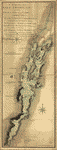
A sketch of the northern parts of New Jersey
$17.95 – $47.95 -
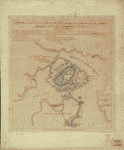
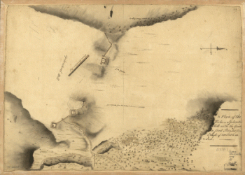
A Plan of the works on Spikendevil Hill with the ground in front
$17.95 – $47.95 -
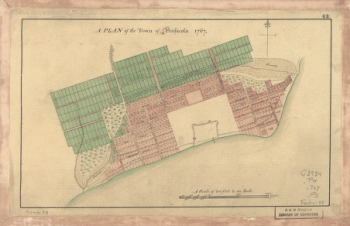
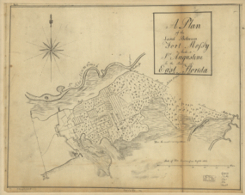
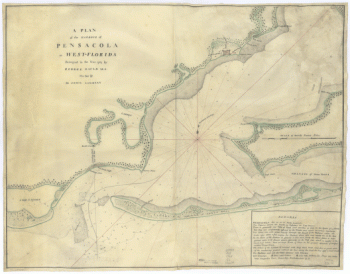
A Plan of the town of Pensacola, 1767
$17.95 – $47.95 -
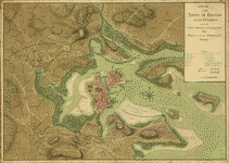
A plan of the town of Boston and its environs
$17.95 – $47.95 -
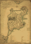
A plan of the town of Boston
$17.95 – $47.95 -
A plan of the town of Boston
$17.95 – $47.95 -
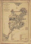
A plan of the town and harbour of Boston
$17.95 – $47.95 -
A plan of the town and chart of the harbour of Boston
$17.95 – $47.95 -
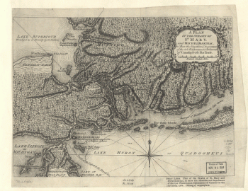
A Plan of the Straits of St. Mary, and Michilimakinac
$17.95 – $47.95 -
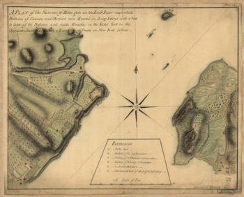
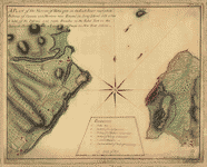
A plan of the Narrows of Hells-gate in the East River
$17.95 – $47.95 -
A plan of the Narrows of Hells-gate in the East River
$17.95 – $47.95 -
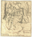
A Plan of the late Province of Main as far as Kennebeck River
$17.95 – $47.95 -
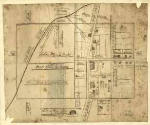
A plan of the lands in New London
$17.95 – $47.95