12" x 18"
-


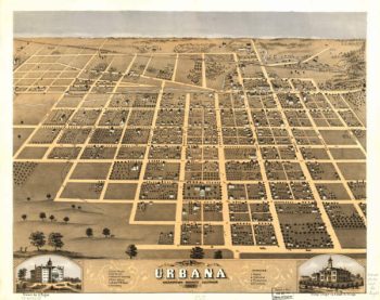
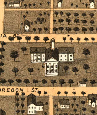
Urbana lIllinois 1867
$17.95 – $47.95 -
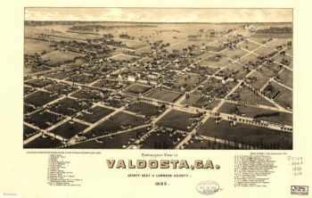
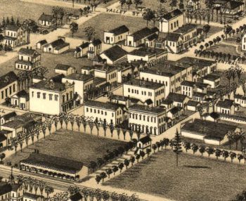
Valdosta Georgia in 1885
$17.95 – $47.95 -
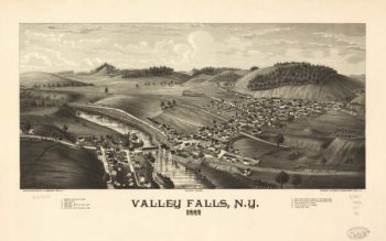
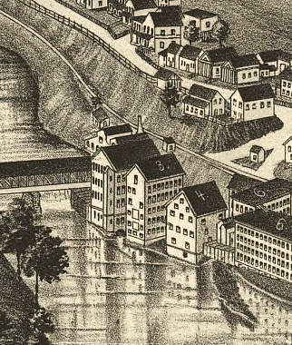
Valley Falls NY 1887
$17.95 – $47.95 -
Valley Stream NY 1924
$17.95 – $47.95 -
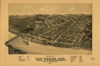
Van Buren AR in 1888
$17.95 – $47.95 -
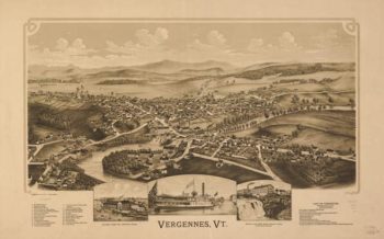
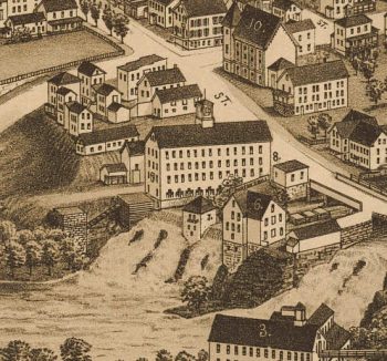
Vergennes VT 1890
$17.95 – $47.95 -
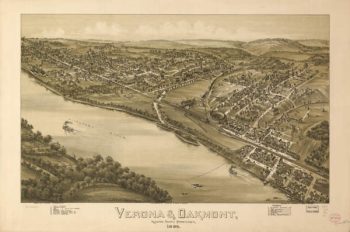
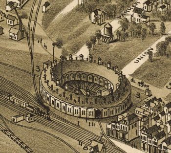
Verona & Oakmont PA 1896
$17.95 – $47.95 -
Vessels destroyed at Norfolk 1861
$17.95 – $47.95 -
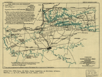
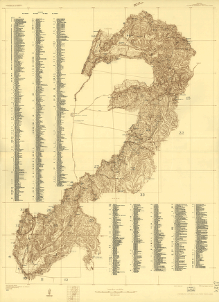
Vicinity map of the suggested Cove Creek Reservoir.
$17.95 – $47.95 -
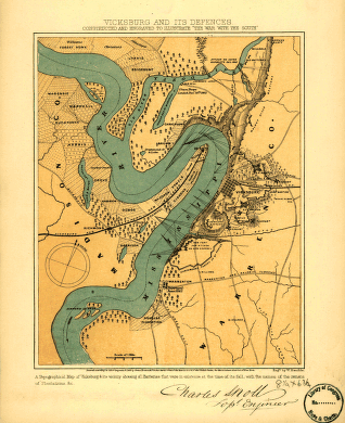
Vicksburg and its defences
$17.95 – $47.95 -
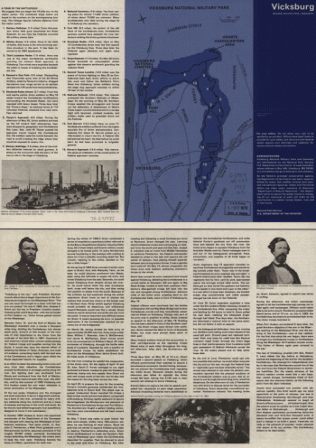
Vicksburg National Military Park
$17.95 – $47.95 -
Vicksburg National Military Park
$17.95 – $47.95 -
Vicksburg National Military Park
$17.95 – $47.95 -
Vicksburg National Military Park
$17.95 – $47.95 -
Vicksburg National Military Park and Vicksburg National Cemetery
$17.95 – $47.95 -
Vicksburg National Military Park, Miss
$17.95 – $47.95 -
View of Fort Hindman, Arkansas Post. [January 11, 1863]
$17.95 – $47.95 -
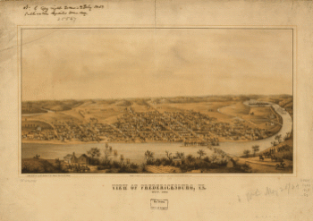
View of Fredericksburg, Va. Nov. 1862
$17.95 – $47.95 -
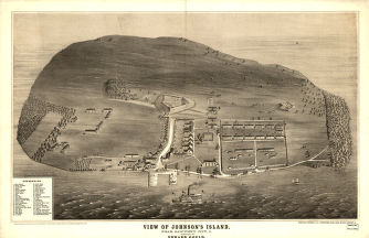
View of Johnson's Island, near Sandusky City
$17.95 – $47.95 -
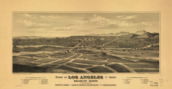
View of Los Angeles from the east
$17.95 – $47.95 -
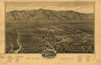
View of San Gabriel, Cal.
$17.95 – $47.95 -
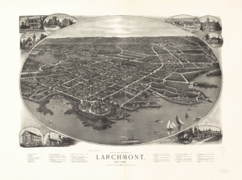
View of the borough of Larchmont, New York.
$17.95 – $47.95 -
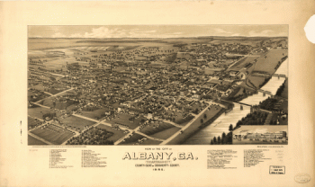
View of the city of Albany, Ga.
$17.95 – $47.95 -
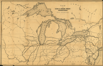
View of the lake & north west-connections with Philadelphia.
$17.95 – $47.95 -
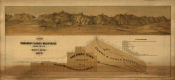
View of the Panamint Range Mountains, mines, mills and town site
$17.95 – $47.95 -
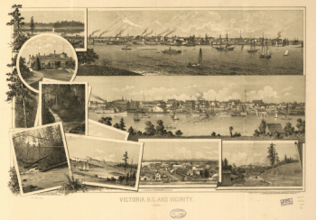
View of Victoria, Vancouver Island
$17.95 – $47.95 -
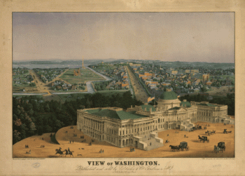
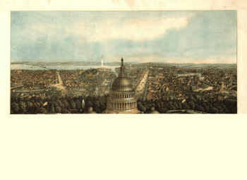
View of Washington
$17.95 – $47.95 -
View of Washington City
$17.95 – $47.95 -
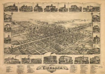
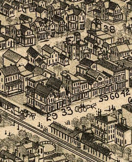
Vineland NJ 1885
$17.95 – $47.95 -
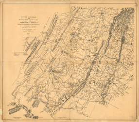
Virginia and Maryland
$17.95 – $47.95 -
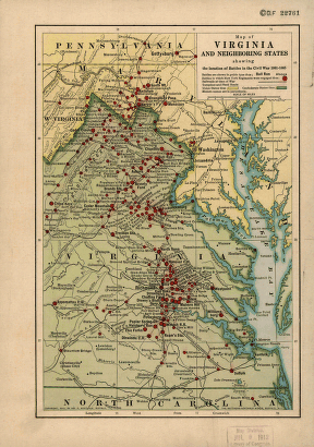
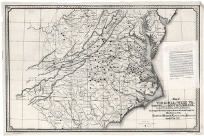
Virginia and neighboring states
$17.95 – $47.95 -
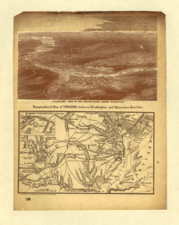
Virginia between Washington and Manassas Junction
$17.95 – $47.95 -
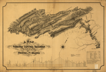
Virginia Central Railroad Company
$17.95 – $47.95 -
Virginia Central Railroad Company
$17.95 – $47.95 -
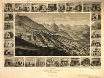
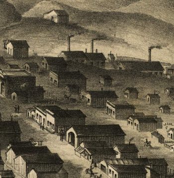
Virginia City NV 1861
$17.95 – $47.95 -
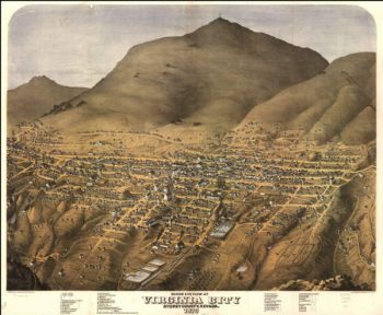
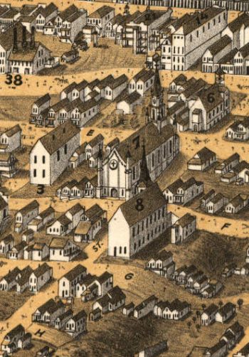
Virginia City NV 1875
$17.95 – $47.95 -
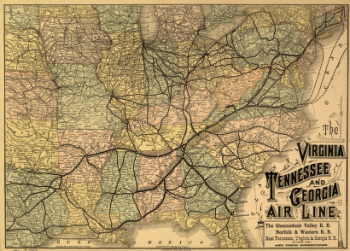
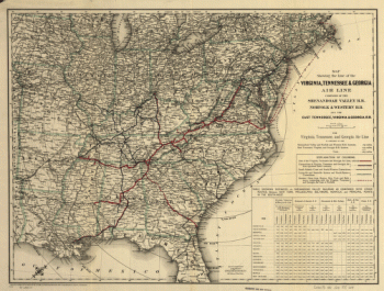
Virginia, Tennessee, and Georgia Air Line Railroad
$17.95 – $47.95 -
Virginia, Tennessee, and Georgia Air Line Railroad
$17.95 – $47.95 -
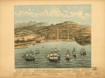
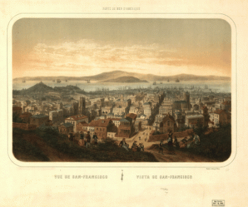
Vue de San-Francisco Vista de San-Francisco
$17.95 – $47.95 -
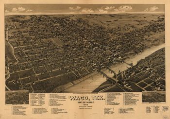
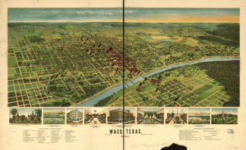
Waco TX 1886
$17.95 – $47.95 -
Waco, Texas 1892
$17.95 – $47.95
![View of Fort Hindman, Arkansas Post. [January 11, 1863]](https://www.ushistoricalarchive.com/wp-content/uploads/nc/data/products/im/cw/ar/b2.gif)