12" x 18"
-

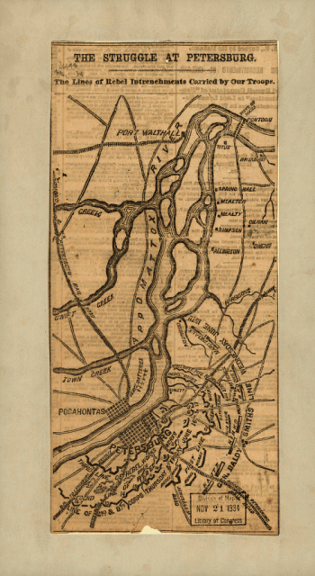
The struggle of Petersburg
$17.95 – $47.95 -
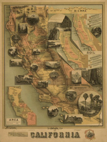
The unique map of California.
$17.95 – $47.95 -
The upper Mississippi and Missouri
$17.95 – $47.95 -
The Virginia, Tennessee, and Georgia Air Line
$17.95 – $47.95 -
The Virginia, Tennessee, and Georgia Air Line
$17.95 – $47.95 -
The war in North Carolina
$17.95 – $47.95 -
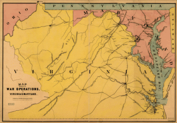
The war operations in Virginia & Maryland
$17.95 – $47.95 -
The White Plains
$17.95 – $47.95 -
The Wilderness [1864]
$17.95 – $47.95 -
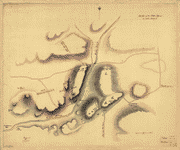
The Wilderness. [May 5-7, 1864]
$17.95 – $47.95 -
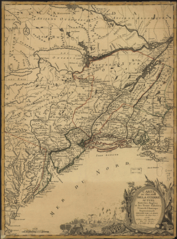
Theatre de la guerre actuel entre les Anglais
$17.95 – $47.95 -
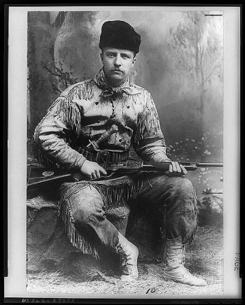
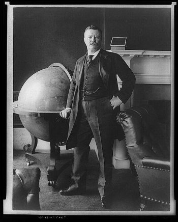
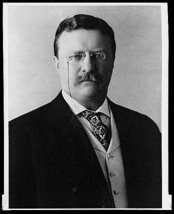
Theodore Roosevelt
$17.95 – $47.95 -
Theodore Roosevelt
$17.95 – $47.95 -
Theodore Roosevelt
$17.95 – $47.95 -
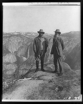
Theodore Roosevelt and John Muir
$17.95 – $47.95 -
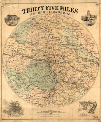
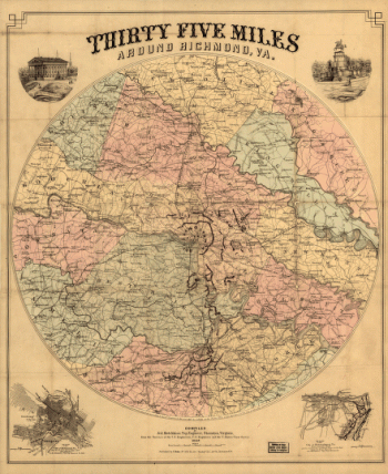
Thirty five miles around Richmond, Va – Map 1
$17.95 – $47.95 -
Thirty five miles around Richmond, Va – Map 2
$17.95 – $47.95 -
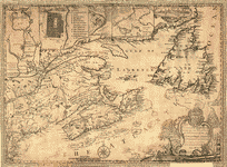
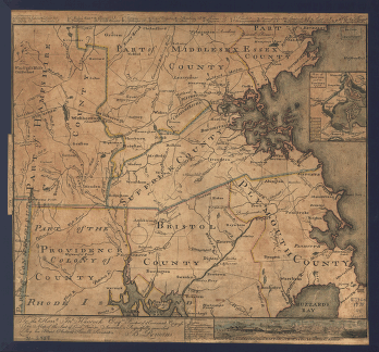
This map of the province of Nova-Scotia and parts adjacent
$17.95 – $47.95 -
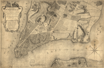
This plan of the city of New York
$17.95 – $47.95 -
This plan of the city of New York
$17.95 – $47.95 -
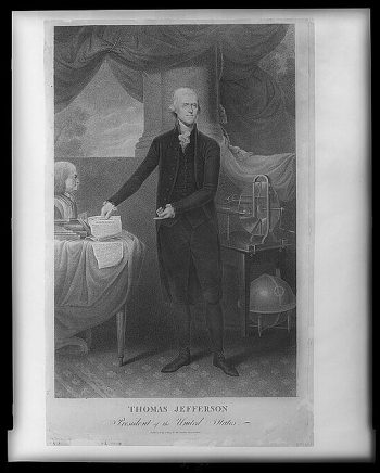
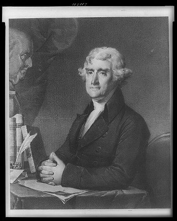
Thomas Jefferson, President of the United States
$17.95 – $47.95 -
Thomas Jefferson, third president of the United States.
$17.95 – $47.95 -

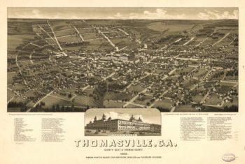
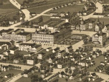
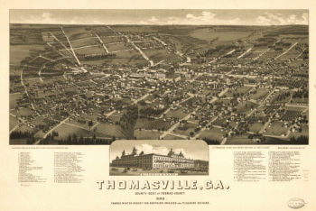
Thomasville Georgia in 1885
$17.95 – $47.95 -
Thomasville, Ga. county-seat of Thomas-County 1885
$17.95 – $47.95 -
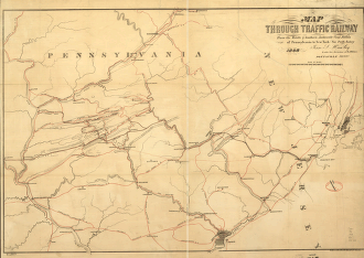
Through Traffic Railway
$17.95 – $47.95 -
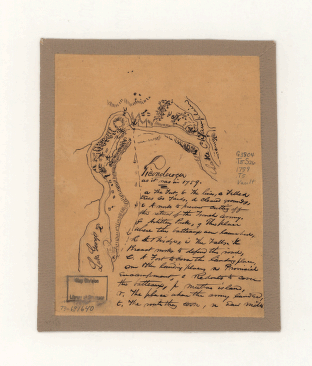
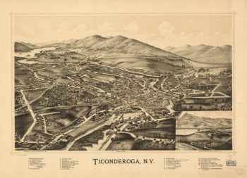
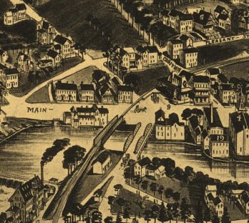
Ticonderoga
$17.95 – $47.95 -
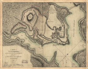
Ticonderoga as it was in 1759
$17.95 – $47.95 -
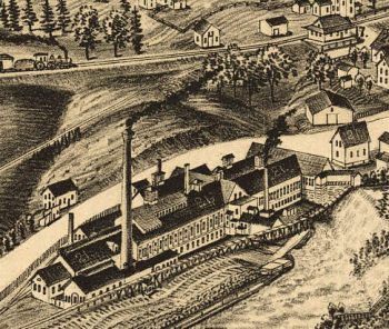
Ticonderoga NY 1884
$17.95 – $47.95 -
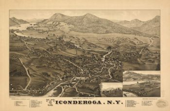
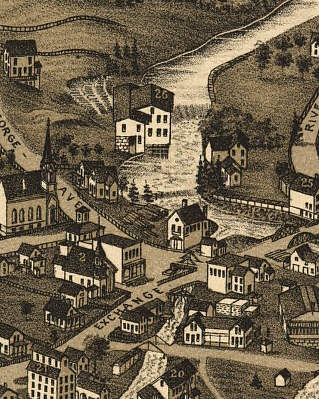
Ticonderoga NY 1891
$17.95 – $47.95 -
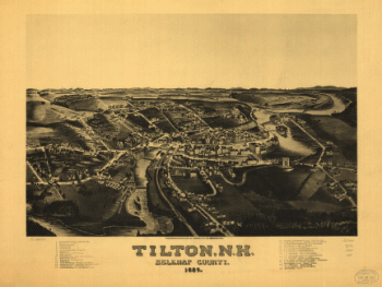
Tilton NH 1884
$17.95 – $47.95 -
Tilton, N.H., Belknap County, 1884. H. Wellge, del.
$17.95 – $47.95 -
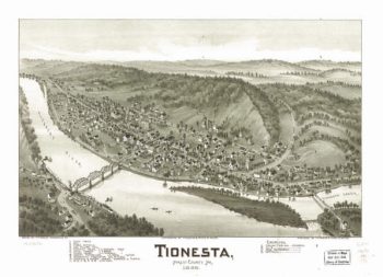
Tionesta PA 1896
$17.95 – $47.95 -
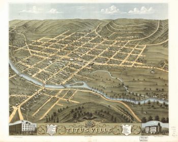
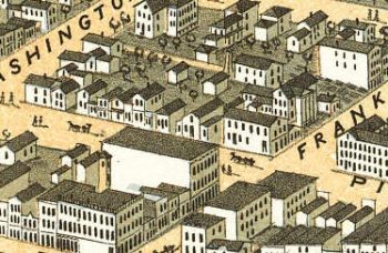
Titusville PA 1871
$17.95 – $47.95 -
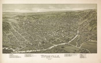
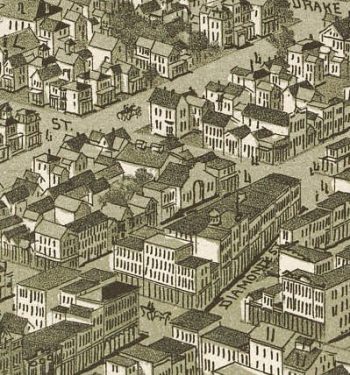
Titusville PA 1896
$17.95 – $47.95 -
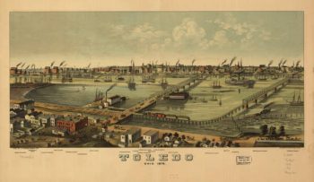
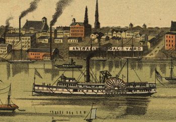
Toledo OH 1876
$17.95 – $47.95 -
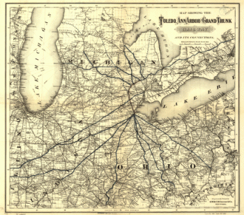
Toledo, Ann Arbor, and Grand Truck Railway
$17.95 – $47.95 -
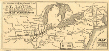
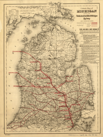
Toledo, Ann Arbor, and North Michigan Railway Company
$17.95 – $47.95 -
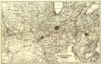
Toledo, Cincinnati, and St
$17.95 – $47.95 -
Toledo, Wabash, and Great Western Railroad
$17.95 – $47.95 -
Toledo, Wabash, and Great Western Railroad
$17.95 – $47.95 -
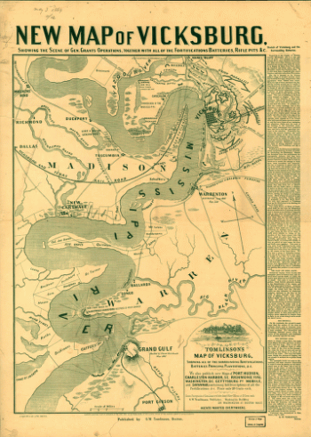
Tomlinson's map of Vicksburg
$17.95 – $47.95 -
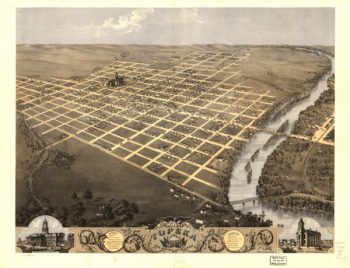
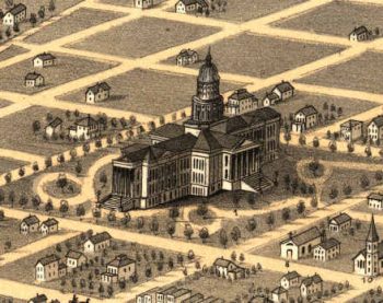
Topeka Kansas 1869
$17.95 – $47.95 -
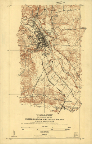
Topographic map of Fredericksburg and vicinity, Virginia
$17.95 – $47.95


![The Wilderness [1864]](https://www.ushistoricalarchive.com/wp-content/uploads/nc/data/products/im/cw/va3/b72-350x553.gif)
![The Wilderness. [May 5-7, 1864]](https://www.ushistoricalarchive.com/wp-content/uploads/nc/data/products/im/cw/va3/b75.gif)


![Toledo, Ohio 1876. [By] A. Ruger. Chas. Shober & Co. props. Chicago Lith. Co.](https://www.ushistoricalarchive.com/wp-content/uploads/nc/data/products/im/sm/oh/b48-350x202.gif)