Home
All Products
Historic Maps
American Indian Maps
Birds Eye View Maps
Civil War Maps
Panoramic Maps
Railroad Maps
Revolutionary War Maps
State Maps
Historic Prints
Civil War Prints
Civil War Posters
Historic Portraits
Presidential Portraits
Contact Us
0
0
press
Enter
to search
Showing all results:
No products found.
12" x 18"
Search
Search Product or SKU
×
Sort By
Default
Price: Low to High
Price: High to Low
Alphabetical
SKU
Categories
All
American Indian Maps
American Indian Photos
Birds Eye View Maps
CD Collections
Civil War Maps
Civil War Posters
Civil War Prints
Panoramic Maps
Photo-chromes
Presidential Portraits
Railroad Maps
Revolutionary War Maps
St. Augustine
State Maps
Products tagged
“12" x 18"”
Muskegon, Michigan 1874.
$
17.95
–
$
47.95
Saint Johns, Clinton Co., Michigan 1868. Drawn by A. Ruger.
$
17.95
–
$
47.95
Grand Rapids, Michigan 1868. Drawn by A. Ruger.
$
17.95
–
$
47.95
Niles, Berrien County, Michigan. Drawn & published by A. Ruger.
$
17.95
–
$
47.95
Ypsilanti, Washtenaw Co., Michigan. Drawn & published by A. Ruger.
$
17.95
–
$
47.95
East Saginaw, Michigan, 1867 / drawn & published by A. Ruger
$
17.95
–
$
47.95
Route of the proposed rail road from the Copper and Iron Mining District of Lake Superior
$
17.95
–
$
47.95
Birds eye view–showing about three miles square–of the central portion of the city of Detroit, Michigan. Calvert Lith Co.
$
17.95
–
$
47.95
Birds eye view of the city of Port Huron, Sarnia & Gratiot, St. Clair Co., Michigan 1867 & Point Edwards, Lambton Co., Canada west. Drawn & published by A. Ruger.
$
17.95
–
$
47.95
Calumet, Hecla & Red Jacket, Mich. : 1881 / [signed] H. Wellge, Milw. ; Beck & Pauli, lith., Milwaukee, Wis.
$
17.95
–
$
47.95
Railroads in Michigan, with steamboat routes on the Great Lakes
$
17.95
–
$
47.95
Skeleton map
$
17.95
–
$
47.95
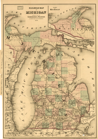
Railroad map of Michigan prepared for the commissioner of railroads.
$
17.95
–
$
47.95
Map of the northwestern states
$
17.95
–
$
47.95
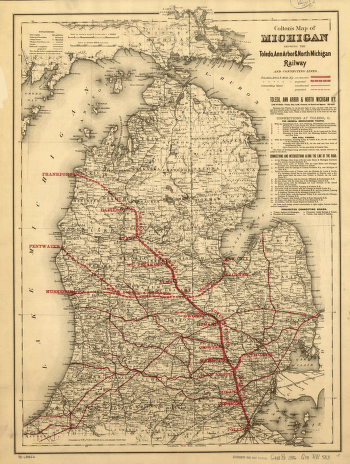
Map of Michigan showing the Toledo, Ann Arbor, & North Michigan Railway and connecting lines
$
17.95
–
$
47.95
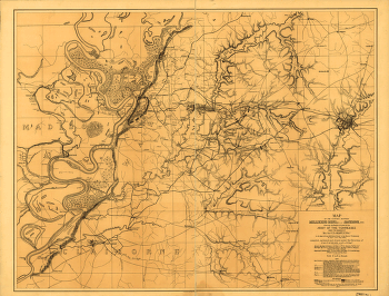
The country between Millikens Bend, La. and Jackson, Miss.
$
17.95
–
$
47.95
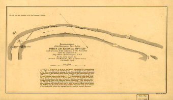
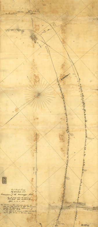
Reconnoissance of the Mississippi River below Forts Jackson and St. Philip
$
17.95
–
$
47.95
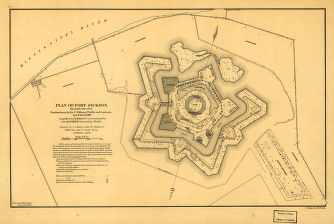
Plan of Fort Jackson
$
17.95
–
$
47.95
Birds eye view of Louisiana, Mississippi, Alabama and part of Florida
$
17.95
–
$
47.95
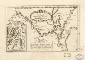
Suite du cours du fleuve
$
17.95
–
$
47.95
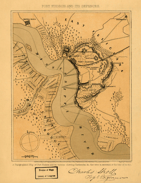
Port Hudson and its defences
$
17.95
–
$
47.95
The United States of America with the British possessions of Canada, Nova Scotia, & of Newfoundland
$
17.95
–
$
47.95
Campaign map of Texas, Louisiana and Arkansas
$
17.95
–
$
47.95
Port Hudson
$
17.95
–
$
47.95
A map of Louisiana and of the river Mississipi
$
17.95
–
$
47.95
Plan of the City of New Orleans and adjacent plantations
$
17.95
–
$
47.95
Plan de la Nouvelle Orleans / Anonymous.
$
17.95
–
$
47.95
Discovering the legacy of Lewis and Clark : bicentennial commemoration 2003-2006
$
17.95
–
$
47.95
Franquelin's map of Louisiana.
$
17.95
–
$
47.95
Plan of the city and suburbs of New Orleans
$
17.95
–
$
47.95
Plaza de la villa de Galvez.
$
17.95
–
$
47.95
L'Amérique septentrionale, dressée sur les mémoires le plus récens des meilleurs géographes, & publiée par Cóvens & Mortier.
$
17.95
–
$
47.95
Boundaries of the great conflagration of New Orleans on the 21st of March 1788
$
17.95
–
$
47.95
Reconnoissance of the Mississippi River below Forts Jackson and St. Philip
$
17.95
–
$
47.95
New Orleans, La. and its vicinity. J. Wells, del. W. Ridgway, sc.
$
17.95
–
$
47.95
Plan of New Orleans
$
17.95
–
$
47.95
United States including Louisiana
$
17.95
–
$
47.95
Plan de la Nouvelle Orleans
$
17.95
–
$
47.95
United States and part of Louisiana
$
17.95
–
$
47.95
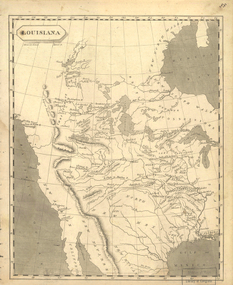
Louisiana
$
17.95
–
$
47.95
Norman's plan of New Orleans & environs, 1845
$
17.95
–
$
47.95
World's Fair, St Louis, 1904
$
17.95
–
$
47.95
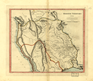
Missouri territory formerly Louisiana.
$
17.95
–
$
47.95
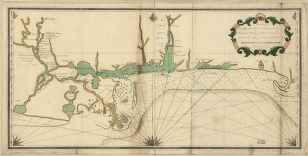
Carte de la coste de la province de la Louisiane et des bouches du Micissipy ou fleuve St. Louis, faite par Jean Lefargue, Bayonne, le 20 fevrier, 1768.
$
17.95
–
$
47.95
North parts of America claimed by France (Louisiana, Mississipi, Canada, and New France)
$
17.95
–
$
47.95
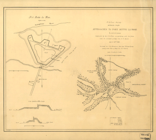
Approaches to Fort Butte La Rose, Louisiana
$
17.95
–
$
47.95
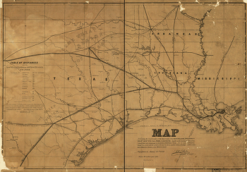
Map exhibiting the fixed location of the main trunk of the New-Orleans, Opelousas & Great Western Railroad of Louisiana
$
17.95
–
$
47.95
Plan of New Orleans the capital of Louisiana
$
17.95
–
$
47.95
1
2
3
…
13
14
15
16
17
18
19
…
66
67
68
Load More
All products loaded.
Search Product or SKU
×
Home
All Products
Historic Maps
American Indian Maps
Birds Eye View Maps
Civil War Maps
Panoramic Maps
Railroad Maps
Revolutionary War Maps
State Maps
Historic Prints
Civil War Prints
Civil War Posters
Historic Portraits
Presidential Portraits
Contact Us
Cart
0
Cart
Close
Updating…
No products in the cart.
Continue shopping