-

A Nez Perce 1910
$39.95 -
A noonday halt (Navaho) 1904
$39.95 -
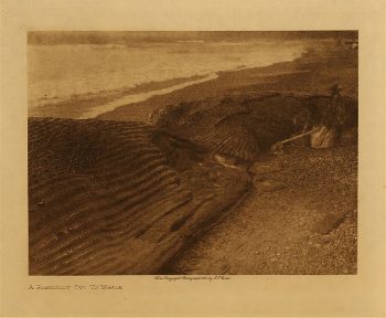
A Nootka 1915
$39.95 -
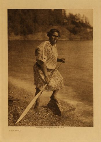
A Nootka belle 1915
$39.95 -
A northern Digueño type 1924
$39.95 -
A Nunivak hunter 1928
$39.95 -
A Papago 1907
$39.95 -
A peach orchard 1906
$39.95 -
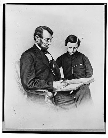
A photograph of the President and Thomas
Price range: $39.95 through $69.95 -
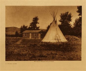
A Piegan home 1910
$39.95 -
A Piegan play tipi 1926
$39.95 -
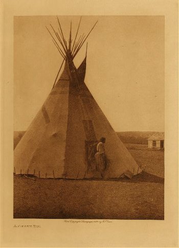
A Piegan tipi 1926
$39.95 -
A Piegan war-bonnet 1926
$39.95 -
A Piegan woman 1926
$39.95 -
A Pima home 1907
$39.95 -
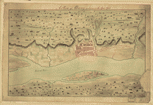
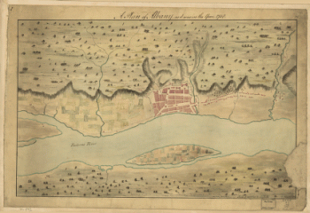
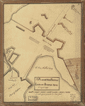
A Plan of Albany, as it was in the year 1758
Price range: $39.95 through $69.95 -
A Plan of Albany, as it was in the year 1758.
Price range: $39.95 through $69.95 -
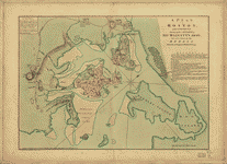
A plan of Boston in New England with its environs
Price range: $39.95 through $69.95 -
A plan of Boston, and its environs
Price range: $39.95 through $69.95 -
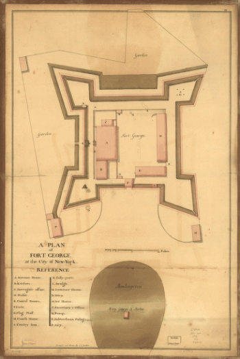
A plan of Fort George at the city of New York
Price range: $39.95 through $69.95 -
A plan of Fort George at the city of New-York
Price range: $39.95 through $69.95 -
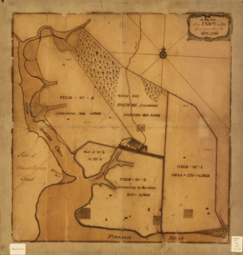
A plan of my farm on Little Huntg Creek & Potomk R G W
Price range: $39.95 through $69.95 -
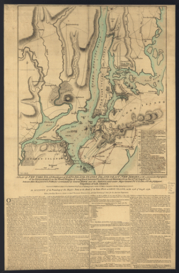
A plan of New York Island, with part of Long Island, Staten Island & east New Jersey
Price range: $39.95 through $69.95 -
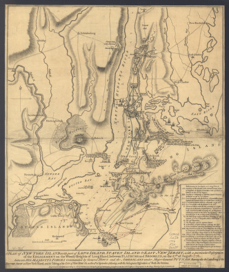
A plan of New York Island, with part of Long Island, Staten Island & east New Jersey
Price range: $39.95 through $69.95 -
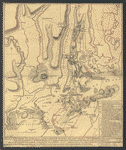
A plan of New York Island, with part of Long Island, Staten Island & east New Jersey
Price range: $39.95 through $69.95 -
A plan of New York Island, with part of Long Island, Staten Island & east New Jersey
Price range: $39.95 through $69.95 -
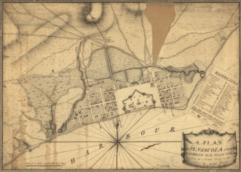
A plan of Pensacola and its environs in its present state, from an actual survey in 1778
Price range: $39.95 through $69.95 -
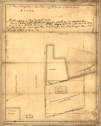
A plan of St. Georges Ferry on Nassau-Island made the 10th August 1774, by G. Bancker, city surveyor.
Price range: $39.95 through $69.95 -
A plan of the action at Bunkers-Hill, on the 17th of June, 1775
Price range: $39.95 through $69.95 -
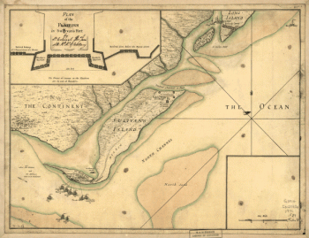
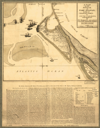
A plan of the attack of Fort Sulivan, near Charles Town in South Carolina by a squadron of His Majesty's ships on the 28th day of June 1776
Price range: $39.95 through $69.95 -
A plan of the attack of Fort Washington
Price range: $39.95 through $69.95 -
A Plan of the battle, on Bunkers Hill
Price range: $39.95 through $69.95 -
A Plan of the British lines on Boston Neck in August 1775
Price range: $39.95 through $69.95 -
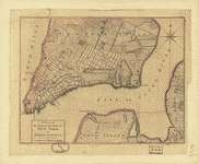
A plan of the city and environs of New York in North America
Price range: $39.95 through $69.95 -
A plan of the city and environs of New York in North America.
Price range: $39.95 through $69.95 -
A plan of the city and environs of New York in North America.
Price range: $39.95 through $69.95 -
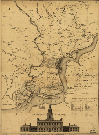
A plan of the city and environs of Philadelphia, survey'd by N Scull and G Heap Engraved by Will Faden
Price range: $39.95 through $69.95 -
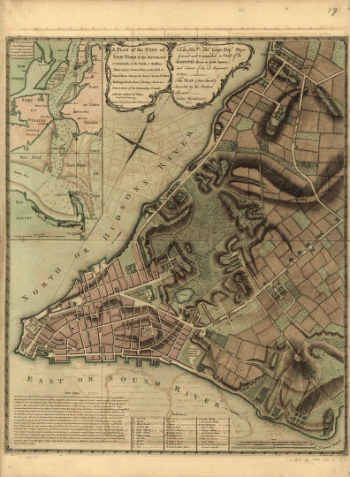
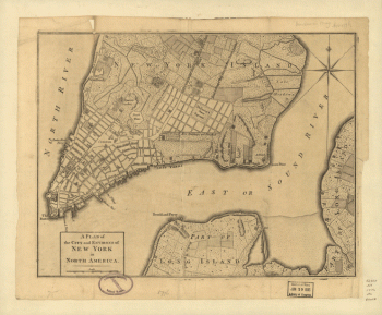
A plan of the city of New York from an actual survey
Price range: $39.95 through $69.95 -
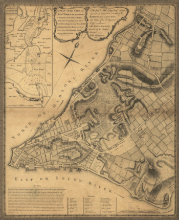
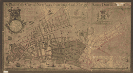
A plan of the city of New York from an actual survey, anno Domini, M[D]CC,LV by F. Maerschalck, city surveyor.
Price range: $39.95 through $69.95 -
A plan of the city of New-York & its environs to Greenwich
Price range: $39.95 through $69.95 -
A plan of the city of New-York & its environs to Greenwich
Price range: $39.95 through $69.95 -
A plan of the city of New-York & its environs to Greenwich
Price range: $39.95 through $69.95 -
A plan of the city of New-York & its environs to Greenwich
Price range: $39.95 through $69.95


![A plan of the city of New York from an actual survey, anno Domini, M[D]CC,LV by F. Maerschalck, city surveyor.](https://www.ushistoricalarchive.com/wp-content/uploads/nc/data/products/im/sm/nyc/b16-350x192.gif)