-


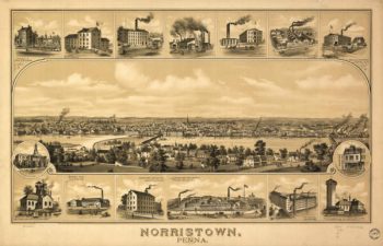
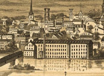
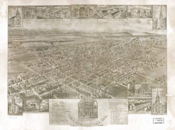
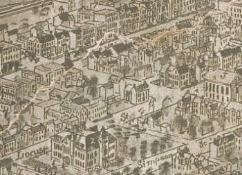
Norristown PA 1881
Price range: $39.95 through $69.95 -
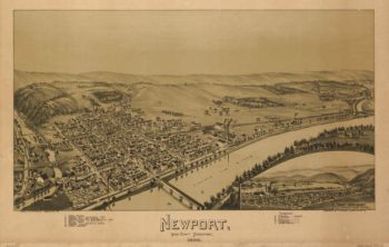
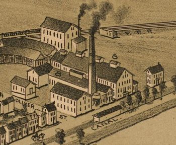
Newport PA 1895
Price range: $39.95 through $69.95 -
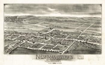
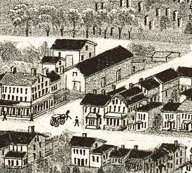
Newmanstown Sheridan PA 1898
Price range: $39.95 through $69.95 -
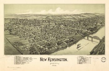
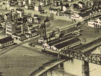
New Kensington PA 1902
Price range: $39.95 through $69.95 -
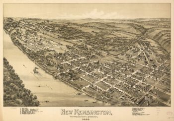
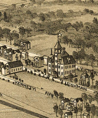
New Kensington PA 1896
Price range: $39.95 through $69.95 -
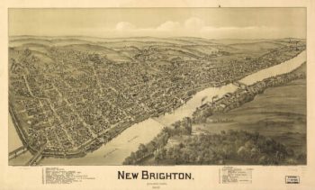
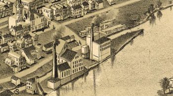
New Brighton PA 1901
Price range: $39.95 through $69.95 -
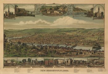
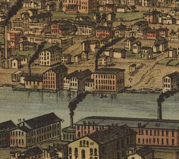
New Brighton PA Color 1883
Price range: $39.95 through $69.95 -
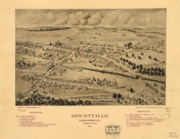
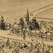
Mountville PA 1894
Price range: $39.95 through $69.95 -
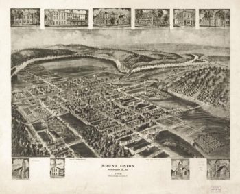
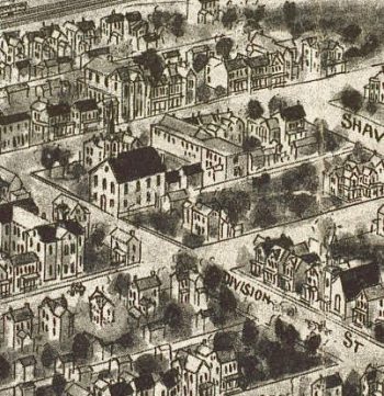
Mount Union PA 1906
Price range: $39.95 through $69.95 -
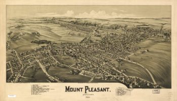
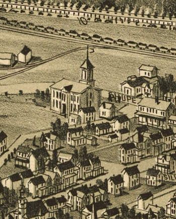
Mount Pleasant PA 1900
Price range: $39.95 through $69.95 -
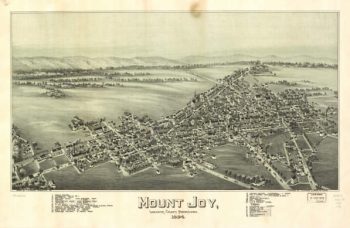
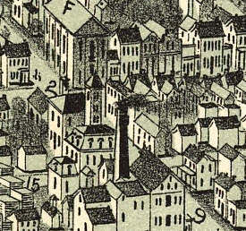
Mount Joy PA 1894
Price range: $39.95 through $69.95 -
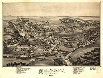
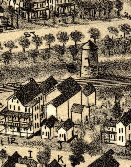
Moscow PA 1891
Price range: $39.95 through $69.95 -
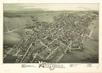
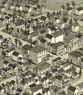
Montrose PA 1890
Price range: $39.95 through $69.95 -
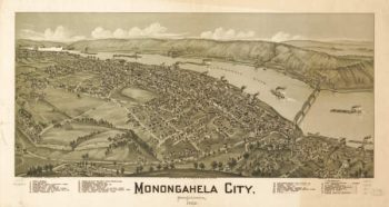
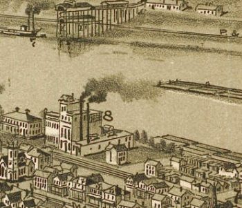
Monongahela PA 1902
Price range: $39.95 through $69.95 -
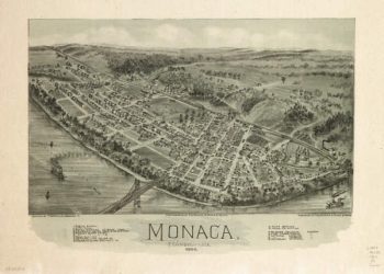
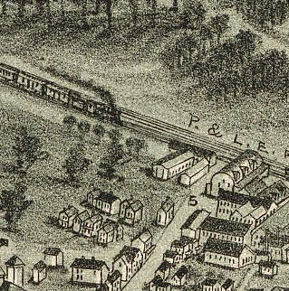
Monaca PA 1900
Price range: $39.95 through $69.95 -
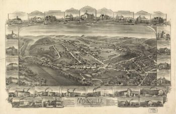
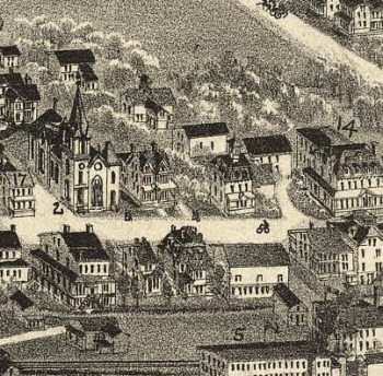
Mohnsville PA 1898
Price range: $39.95 through $69.95 -
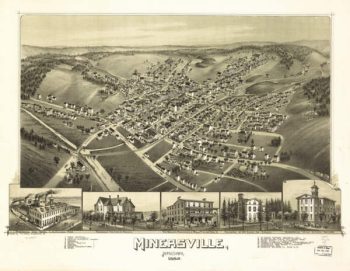
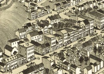
Minersville PA 1889
Price range: $39.95 through $69.95 -
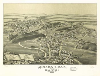
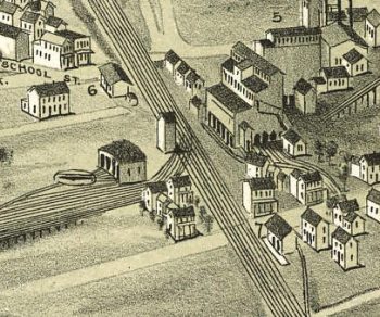
Miners Mills & Mill Creek PA 1892
Price range: $39.95 through $69.95 -
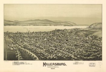
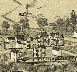
Millersburg PA 1894
Price range: $39.95 through $69.95 -
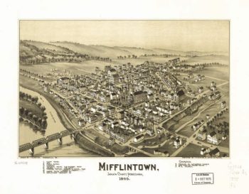
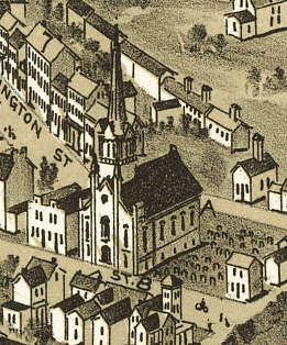
Mifflintown PA 1895
Price range: $39.95 through $69.95 -
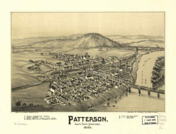
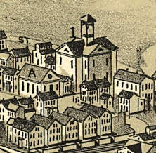
Patterson PA 1895
Price range: $39.95 through $69.95 -
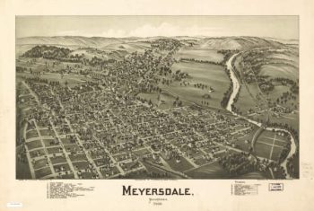
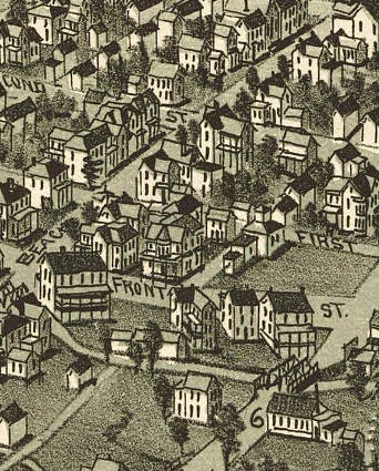
Meyersdale PA 1900
Price range: $39.95 through $69.95 -
Mechanicsburg PA 1903
Price range: $39.95 through $69.95 -
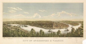
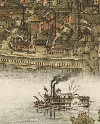
McKeesport PA 1893
Price range: $39.95 through $69.95 -
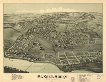
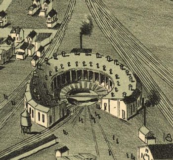
McKees Rocks PA 1901
Price range: $39.95 through $69.95 -
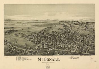
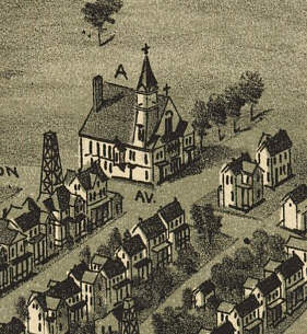
McDonald PA 1897
Price range: $39.95 through $69.95 -
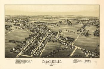
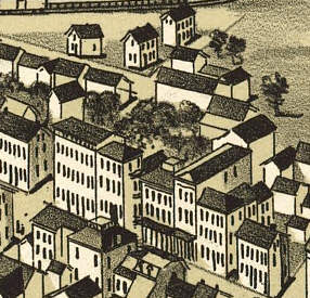
Macungie PA 1893
Price range: $39.95 through $69.95 -
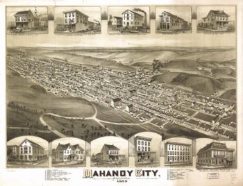
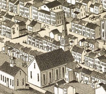
Mahanoy City PA 1889
Price range: $39.95 through $69.95 -
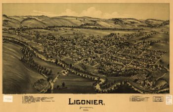
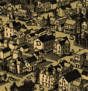
Ligonier PA 1908
Price range: $39.95 through $69.95 -
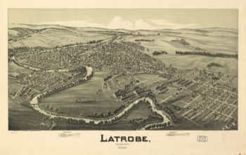
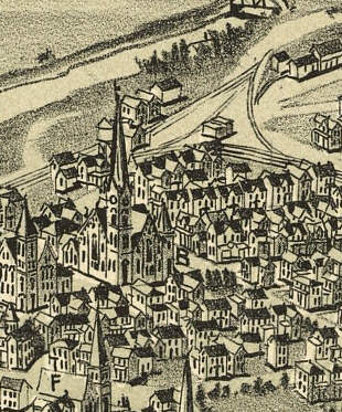
Latrobe PA 1900
Price range: $39.95 through $69.95 -
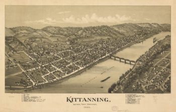
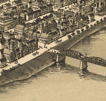
Kittanning PA 1896
Price range: $39.95 through $69.95 -
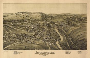
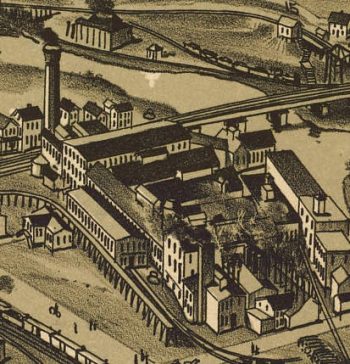
Johnsonburg PA 1895
Price range: $39.95 through $69.95 -
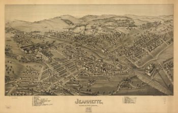
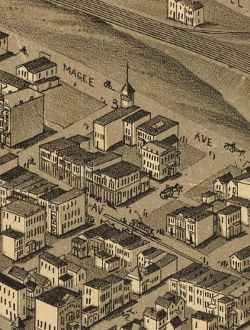
Jeannette PA 1897
Price range: $39.95 through $69.95 -
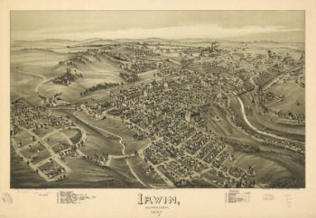
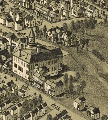
Irwin PA 1897
Price range: $39.95 through $69.95 -
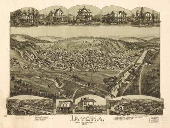
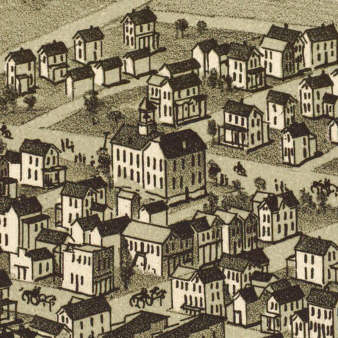
Irvona PA 1895
Price range: $39.95 through $69.95 -
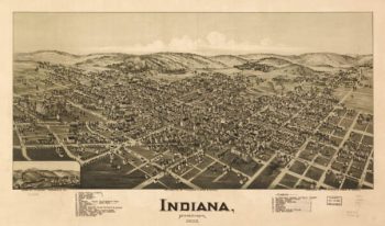
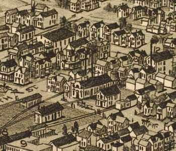
Indiana PA 1900
Price range: $39.95 through $69.95 -
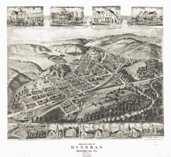
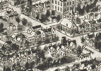
Hyndham PA 1906
Price range: $39.95 through $69.95 -
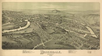
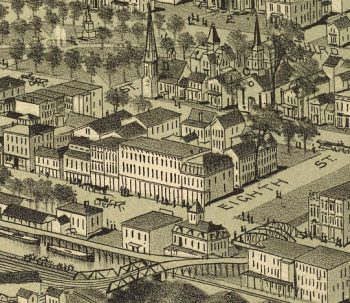
Honesdale PA 1890
Price range: $39.95 through $69.95 -
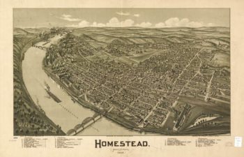
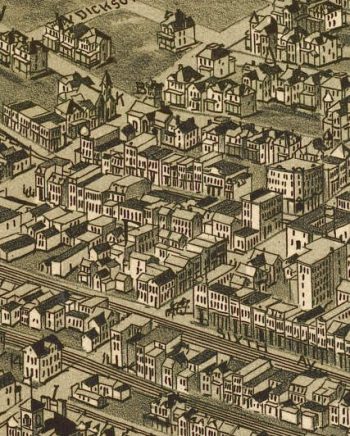
Homestead PA 1902
Price range: $39.95 through $69.95 -
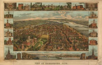
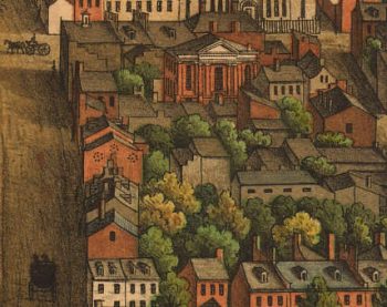
Harrisburg PA Color 1855
Price range: $39.95 through $69.95 -
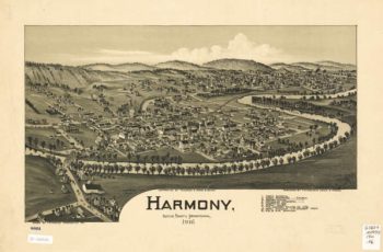
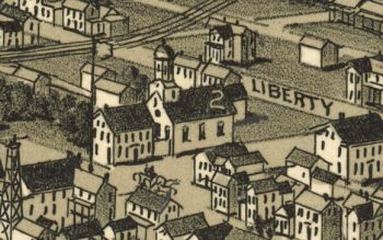
Harmony PA 1901
Price range: $39.95 through $69.95 -
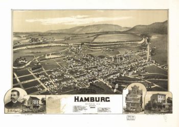
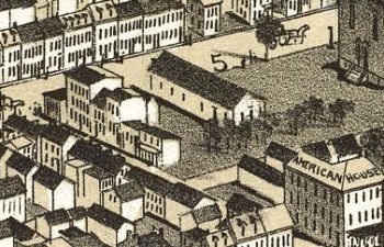
Hamburg PA 1889
Price range: $39.95 through $69.95 -
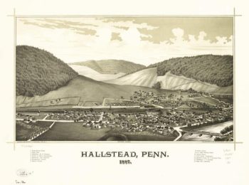
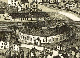
Hallstead PA 1887
Price range: $39.95 through $69.95 -
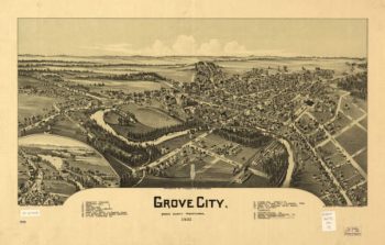
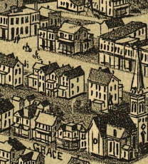
Grove City PA 1901
Price range: $39.95 through $69.95 -
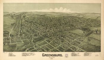
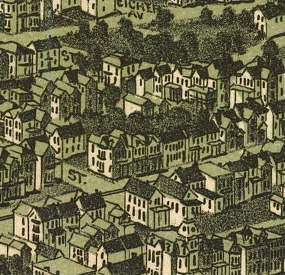
Greensburg PA 1901
Price range: $39.95 through $69.95 -
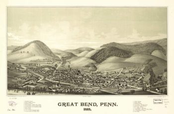
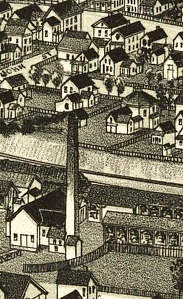
Great Bend PA 1887
Price range: $39.95 through $69.95 -
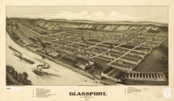
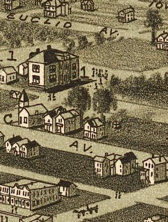
Glassport PA 1902
Price range: $39.95 through $69.95 -
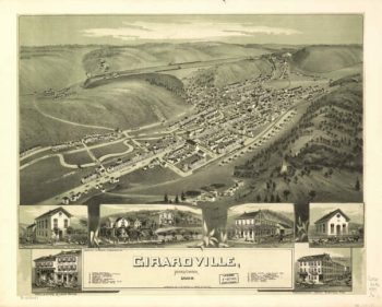
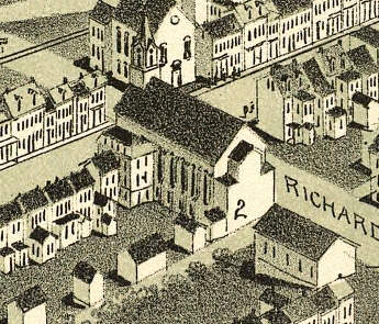
Girardville PA 1889
Price range: $39.95 through $69.95