-


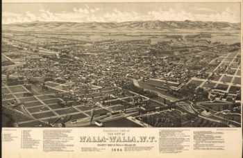
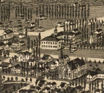
Walla Walla WA 1884
Price range: $39.95 through $69.95 -
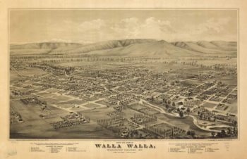
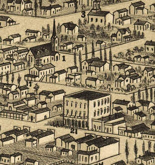
Walla Walla WA 1876
Price range: $39.95 through $69.95 -
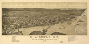
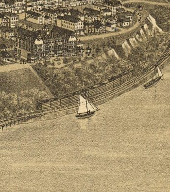
Tacoma WA 1885
Price range: $39.95 through $69.95 -
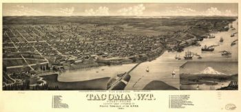
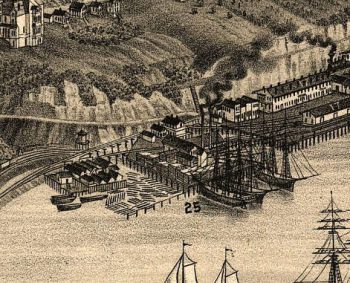
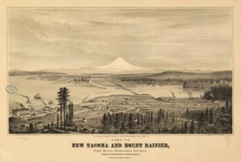
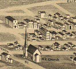
Tacoma WA 1884
Price range: $39.95 through $69.95 -
Tacoma WA 1878
Price range: $39.95 through $69.95 -
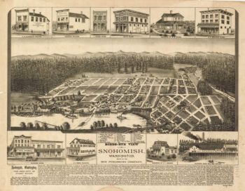
Snohomish WA 1890
Price range: $39.95 through $69.95 -
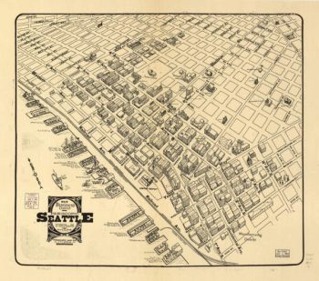
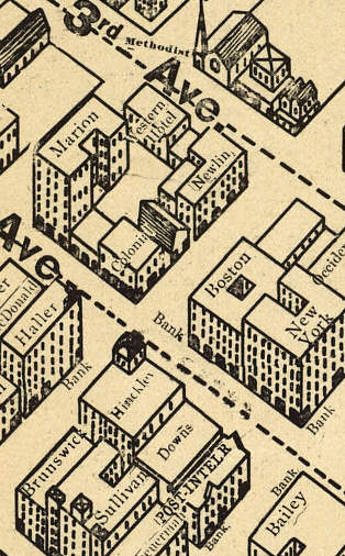
Seattle WA 1903
Price range: $39.95 through $69.95 -
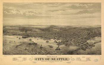
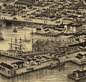
Seattle WA 1884
Price range: $39.95 through $69.95 -
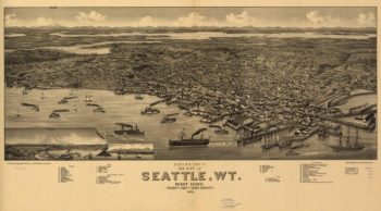
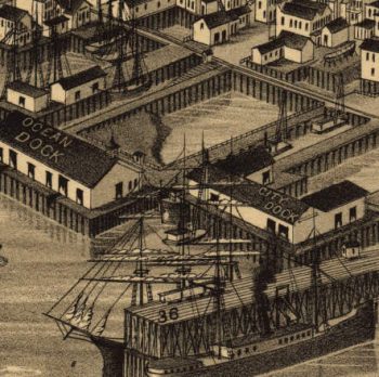
Seattle WA 1878
Price range: $39.95 through $69.95 -
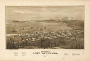
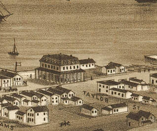
Port Townsend WA 1878
Price range: $39.95 through $69.95 -
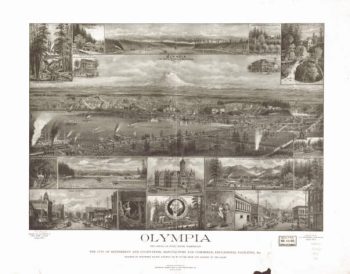
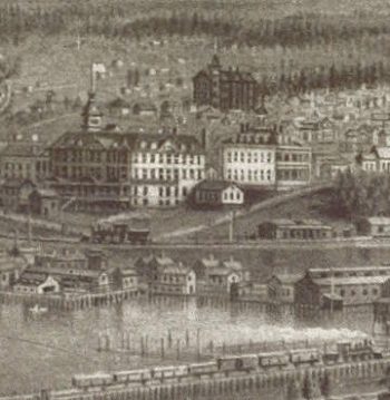
Olympia WA 1903
Price range: $39.95 through $69.95 -
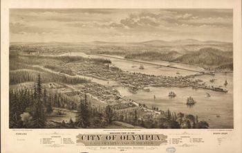
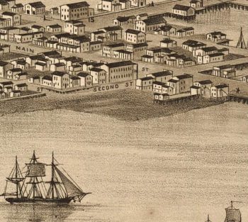
Olympia / Tumwater WA 1878
Price range: $39.95 through $69.95 -
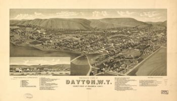
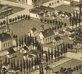
Dayton, WA 1884
Price range: $39.95 through $69.95 -
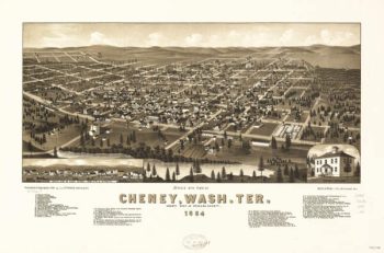
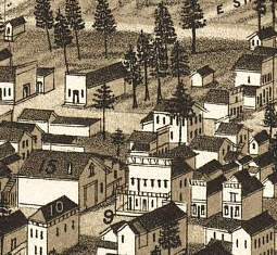
Cheney WA 1884
Price range: $39.95 through $69.95 -
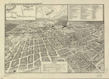
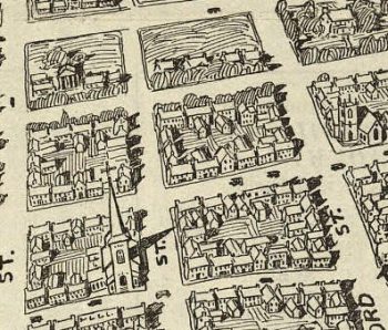
Winchester VA 1926
Price range: $39.95 through $69.95 -
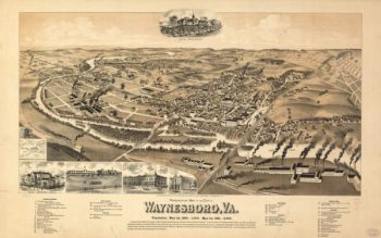
Waynesboro VA 1891
Price range: $39.95 through $69.95 -
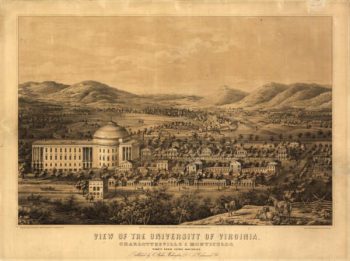
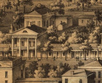
University of Virginia VA 1856
Price range: $39.95 through $69.95 -
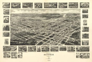
Suffolk VA 1907
Price range: $39.95 through $69.95 -
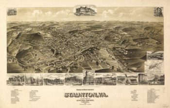
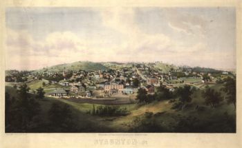
Staunton VA 1891
Price range: $39.95 through $69.95 -
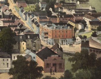
Staunton VA 1857 Color
Price range: $39.95 through $69.95 -
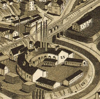
Richmond VA 1863
Price range: $39.95 through $69.95 -
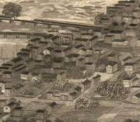
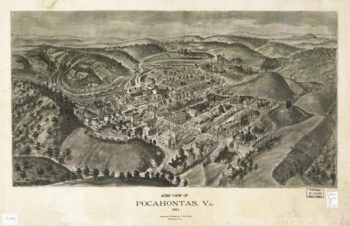
Pocahontas VA 1911
Price range: $39.95 through $69.95 -
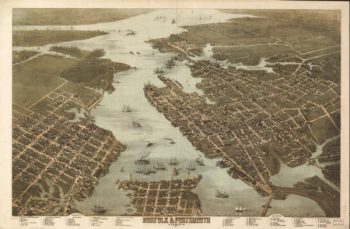
Norfolk & Portsmouth VA 1873
Price range: $39.95 through $69.95 -
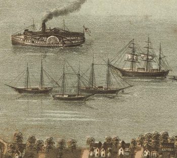
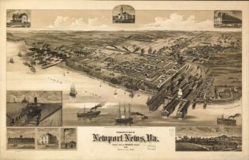
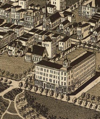
Newport News VA 1891
Price range: $39.95 through $69.95 -
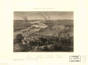
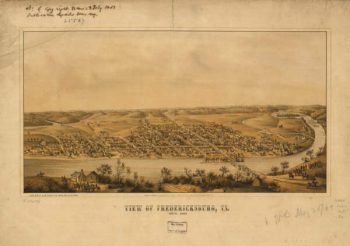
Fredericksburg VA 1863
Price range: $39.95 through $69.95 -
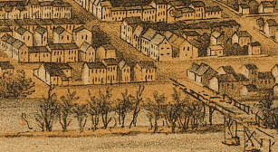
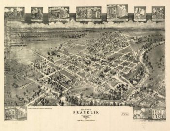
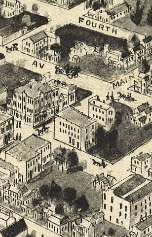
Franklin VA 1907
Price range: $39.95 through $69.95 -
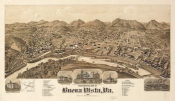
Buena Vista VA 1891
Price range: $39.95 through $69.95 -
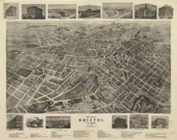
Bristol VA 1912
Price range: $39.95 through $69.95 -
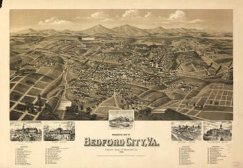
Bedford VA 1891
Price range: $39.95 through $69.95 -
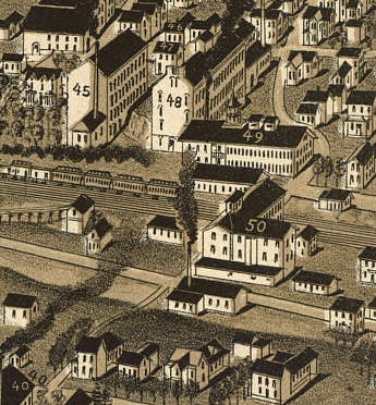
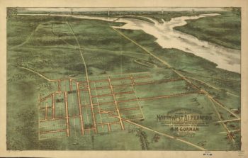
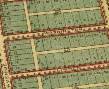
Alexandria VA 1890's
Price range: $39.95 through $69.95 -
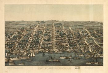
Alexandria VA 1863
Price range: $39.95 through $69.95 -
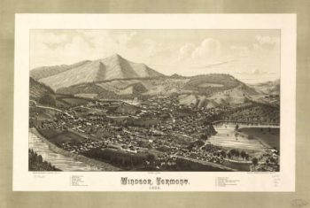
Windsor VT 1886
Price range: $39.95 through $69.95 -
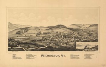
Wilmington VT 1891
Price range: $39.95 through $69.95 -
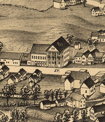
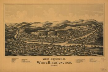
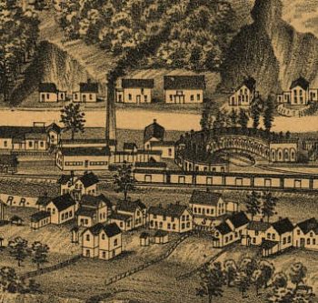
White River Junction VT 1889
Price range: $39.95 through $69.95 -
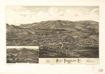
West Randolph VT 1886
Price range: $39.95 through $69.95 -
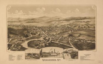
Vergennes VT 1890
Price range: $39.95 through $69.95 -
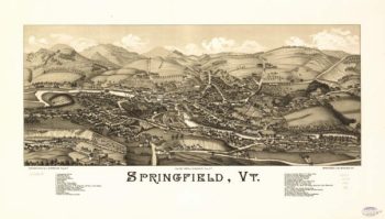
Springfield VT 1886
Price range: $39.95 through $69.95 -
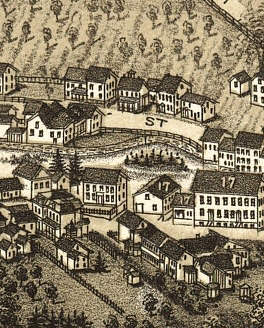
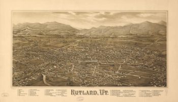
Rutland VT 1885
Price range: $39.95 through $69.95 -
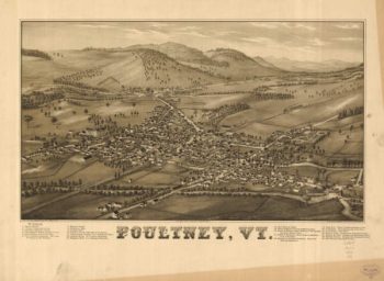
Poultney VT 1886
Price range: $39.95 through $69.95 -
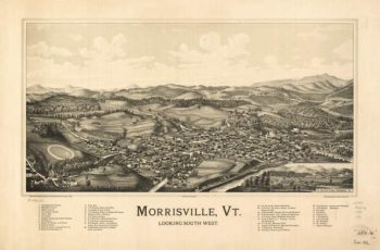
Morrisville VT 1889
Price range: $39.95 through $69.95 -
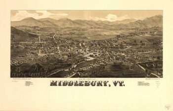
Middlebury VT 1886
Price range: $39.95 through $69.95 -
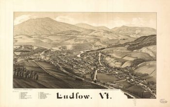
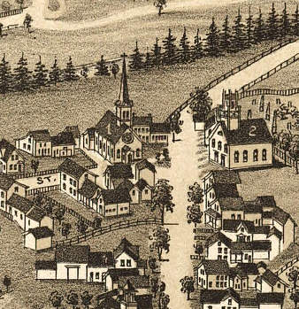
Ludlow VT 1885
Price range: $39.95 through $69.95 -
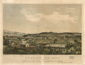
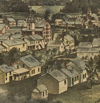
Ludlow VT 1859
Price range: $39.95 through $69.95 -
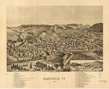
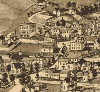
Hardwick Grand Junction VT 1892
Price range: $39.95 through $69.95 -
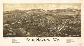
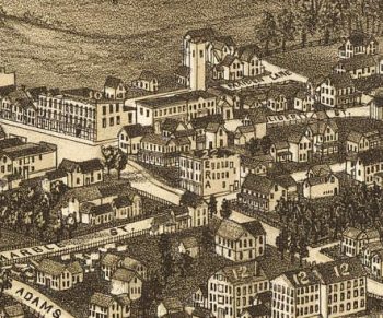
Fair Haven VT 1886
Price range: $39.95 through $69.95 -
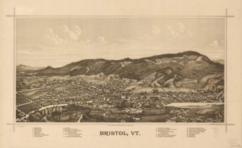
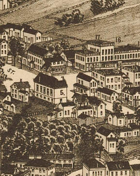
Bristol Rockydale VT 1889
Price range: $39.95 through $69.95 -
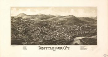
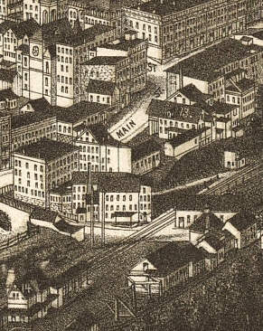
Brattleboro VT 1886
Price range: $39.95 through $69.95 -
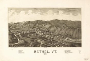
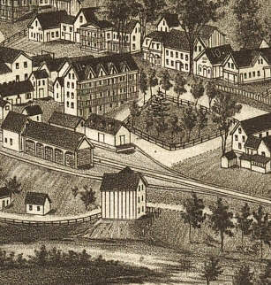
Bethel VT 1886
Price range: $39.95 through $69.95