-


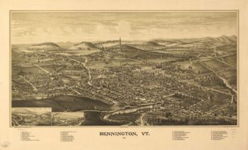
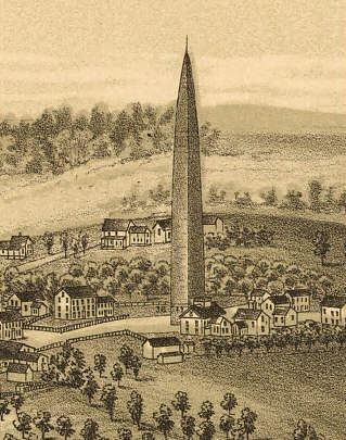
Bennington VT 1887
Price range: $39.95 through $69.95 -
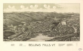
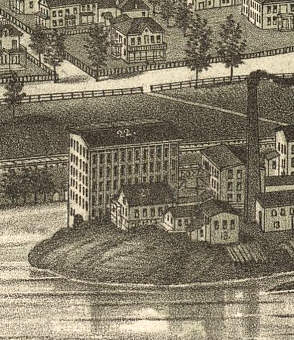
Bellows Falls VT 1886
Price range: $39.95 through $69.95 -
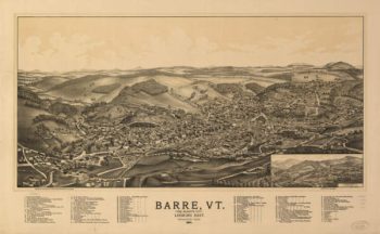
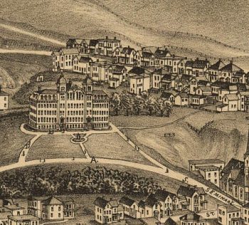
Barre VT 1891
Price range: $39.95 through $69.95 -
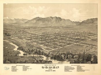
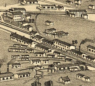
Ogden UT 1875
Price range: $39.95 through $69.95 -
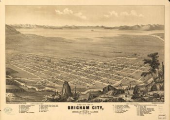
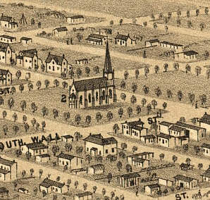
Brigham City UT 1875
Price range: $39.95 through $69.95 -
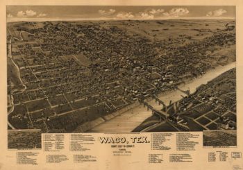
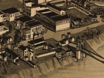
Waco TX 1886
Price range: $39.95 through $69.95 -
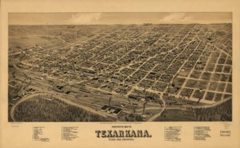
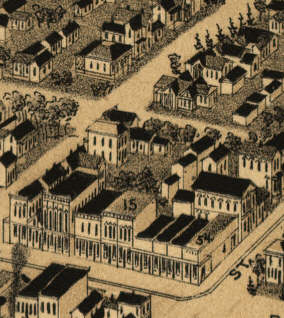
Texarkana TX 1888
Price range: $39.95 through $69.95 -
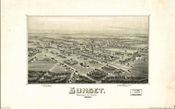
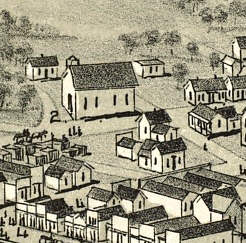
Sunset TX 1890
Price range: $39.95 through $69.95 -
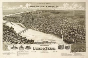
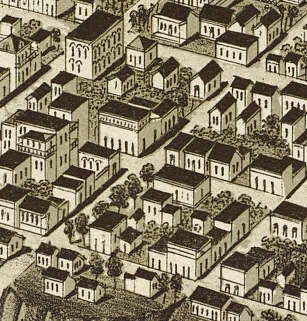
Laredo TX 1892
Price range: $39.95 through $69.95 -
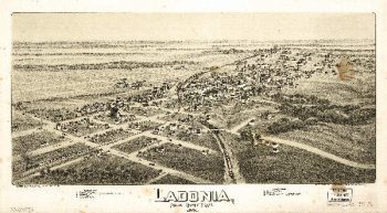
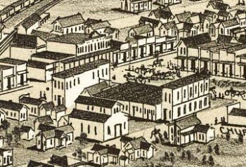
Ladonia TX 1891
Price range: $39.95 through $69.95 -
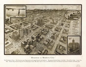
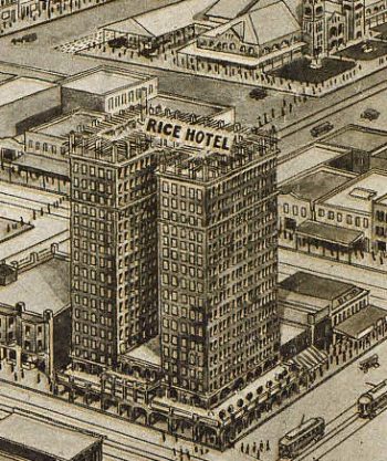
Houston TX 1912
Price range: $39.95 through $69.95 -
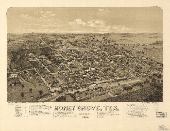
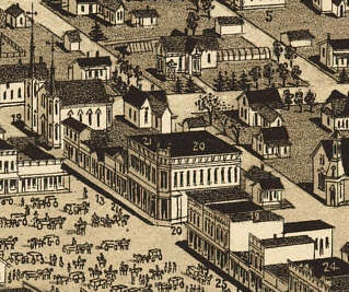
Honey Grove TX 1886
Price range: $39.95 through $69.95 -
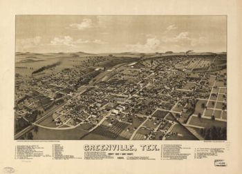
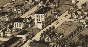
Greenville TX 1886
Price range: $39.95 through $69.95 -
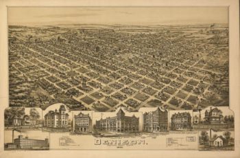
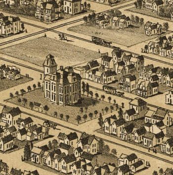
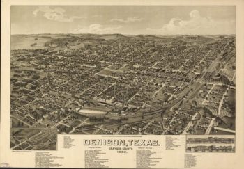
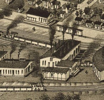
Denison TX 1891
Price range: $39.95 through $69.95 -
Denison TX 1886
Price range: $39.95 through $69.95 -
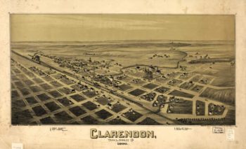
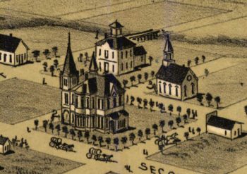
Clarendon TX 1890
Price range: $39.95 through $69.95 -
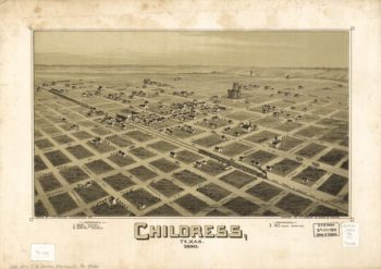
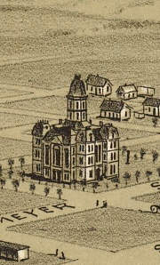
Childress TX 1890
Price range: $39.95 through $69.95 -
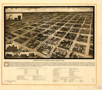
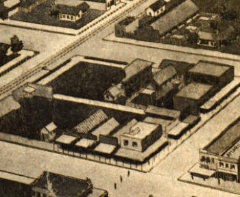
Amarillo TX 1912
Price range: $39.95 through $69.95 -
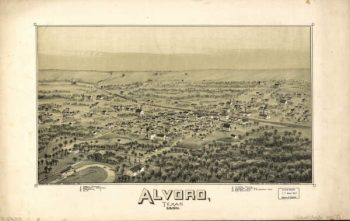
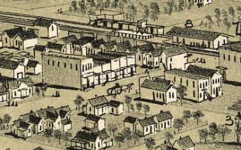
Alvord TX 1890
Price range: $39.95 through $69.95 -
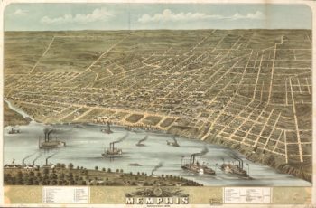
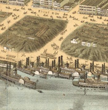
Memphis TN 1870
Price range: $39.95 through $69.95 -
Knoxville TN 1871
Price range: $39.95 through $69.95 -
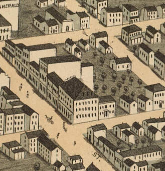
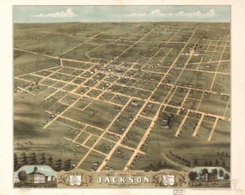
Jackson TN 1870
Price range: $39.95 through $69.95 -
Harriman TN 1892
Price range: $39.95 through $69.95 -
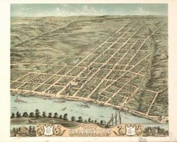
Clarksville TN 1870
Price range: $39.95 through $69.95 -
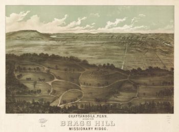
Chattanooga Bragg Hill TN 1887
Price range: $39.95 through $69.95 -
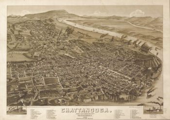
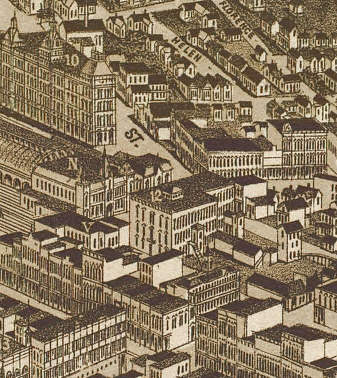
Chattanooga TN 1886
Price range: $39.95 through $69.95 -
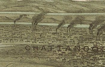
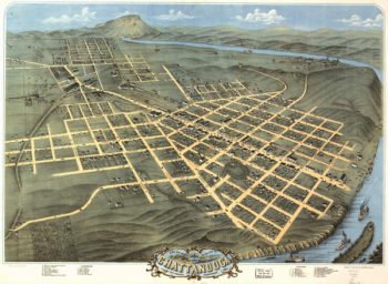
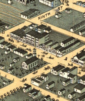
Chattanooga TN 1871
Price range: $39.95 through $69.95 -
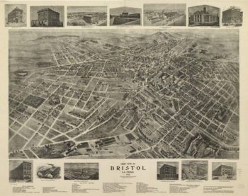
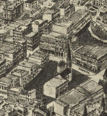
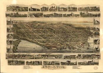
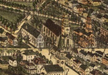
Bristol TN 1912
Price range: $39.95 through $69.95 -
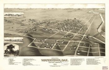
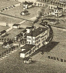
Watertown SD 1883
Price range: $39.95 through $69.95 -
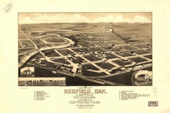
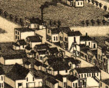
Redfield SD 1883
Price range: $39.95 through $69.95 -
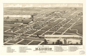
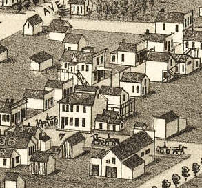
Madison SD 1883
Price range: $39.95 through $69.95 -
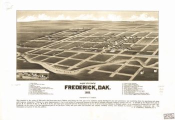
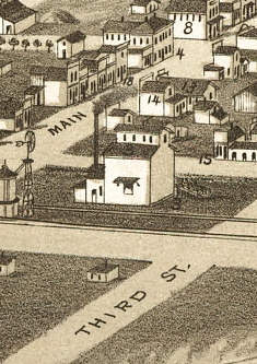
Frederick SD 1883
Price range: $39.95 through $69.95 -
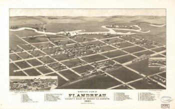
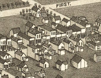
Flandreau SD 1882
Price range: $39.95 through $69.95 -
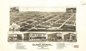
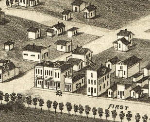
Clark SD 1883
Price range: $39.95 through $69.95 -
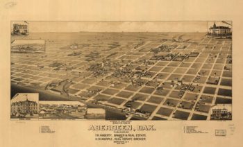
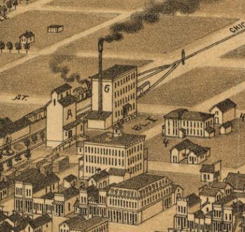
Aberdeen SD 1883
Price range: $39.95 through $69.95 -
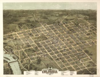
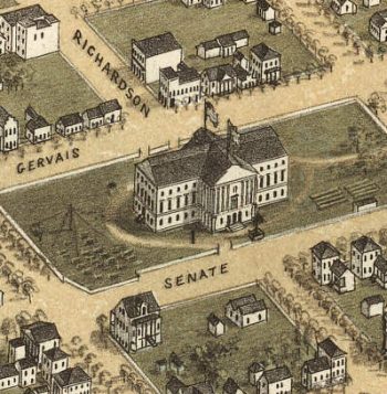
Columbia SC 1872
Price range: $39.95 through $69.95 -
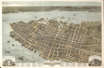
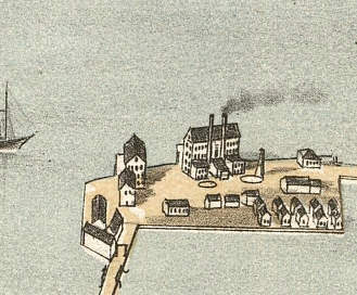
Charleston SC 1872
Price range: $39.95 through $69.95 -
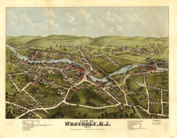
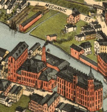
Westerly RI 1877
Price range: $39.95 through $69.95 -
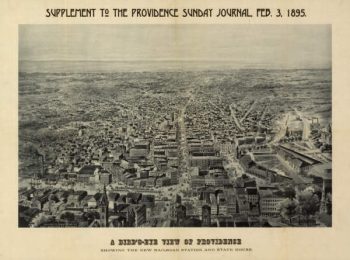
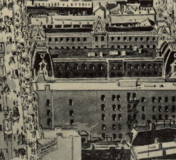
Providence RI 1894
Price range: $39.95 through $69.95 -
Bristol RI 1891
Price range: $39.95 through $69.95 -
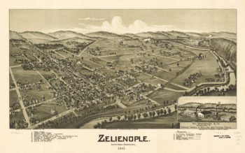
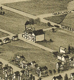
Zelienople PA 1901
Price range: $39.95 through $69.95 -
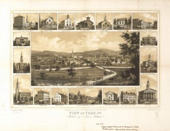
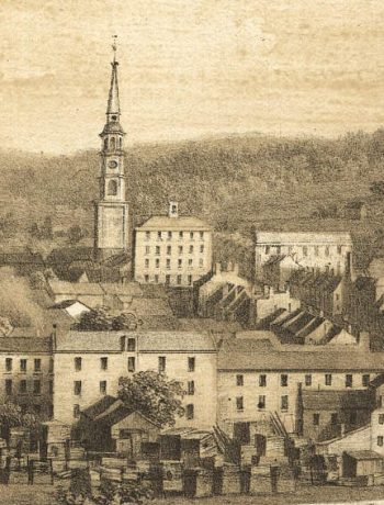
York PA 1852
Price range: $39.95 through $69.95 -
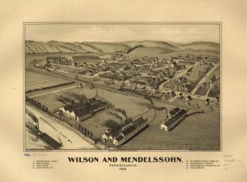
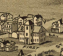
Wilson & Mendelssohn PA 1902
Price range: $39.95 through $69.95 -
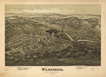
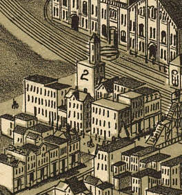
Wilmerding PA 1897
Price range: $39.95 through $69.95 -
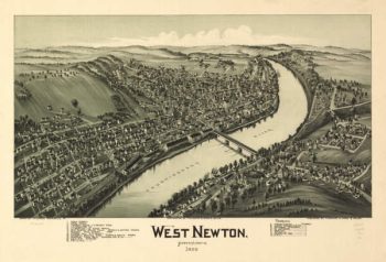
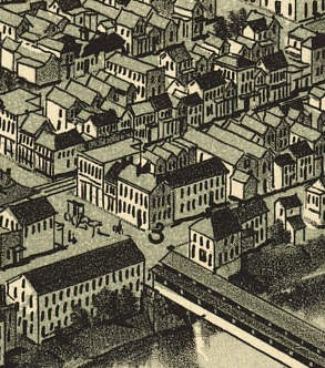
West Newton PA 1900
Price range: $39.95 through $69.95 -
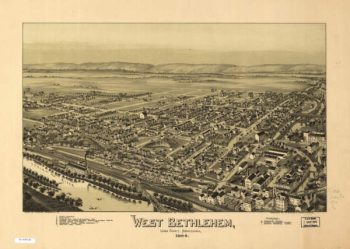
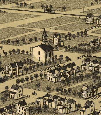
West Bethlehem PA 1894
Price range: $39.95 through $69.95 -
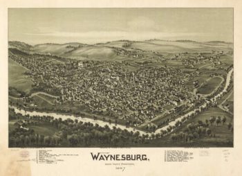
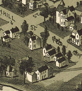
Waynesburg PA 1897
Price range: $39.95 through $69.95 -
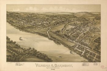
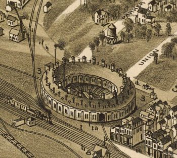
Verona & Oakmont PA 1896
Price range: $39.95 through $69.95