State Maps
-

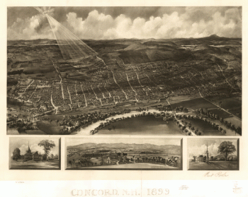
Concord, N.H. 1899.
Price range: $39.95 through $69.95 -
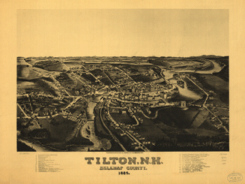
Tilton, N.H., Belknap County, 1884. H. Wellge, del.
Price range: $39.95 through $69.95 -
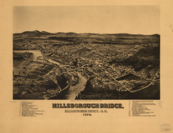
Hillsborough-Bridge, Hillsborough County, N.H. 1884. H. W., del.
Price range: $39.95 through $69.95 -
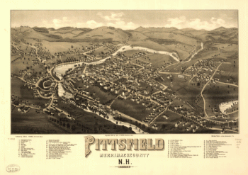
Pittsfield, Merrimackcounty, N.H. 1884. Beck & Pauli, litho.
Price range: $39.95 through $69.95 -
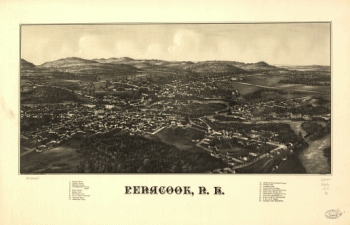
Penacook, N.H. Pub. & drawn by L. R. Burleigh.
Price range: $39.95 through $69.95 -
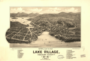
Bird's eye view of Lake Village, Belknap County, N.H. 1883. Beck & Pauli, lithographers.
Price range: $39.95 through $69.95 -
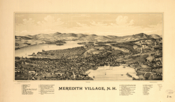
Meredith Village, N.H. Drawn & published by Geo E. Norris. Burleigh Lith. Est.
Price range: $39.95 through $69.95 -
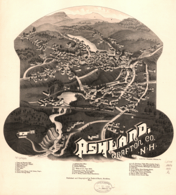
Ashland, Grafton Co., N.H. 1883. Beck & Pauli, lithographers.
Price range: $39.95 through $69.95 -
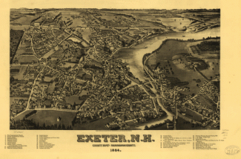
Exeter, N.H., county seat of Rockingham County, 1884. H. Wellge, del.
Price range: $39.95 through $69.95 -
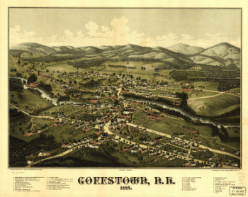
Goffstown, N.H. 1887. Drawn & published by Geo. E. Norris. The Burleigh Litho. Establishment.
Price range: $39.95 through $69.95 -
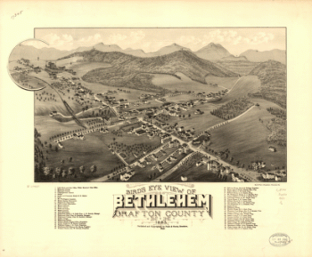
Bird's eye view of Bethlehem, Graftson County, N.H. 1883. A. F. Poole, del. Beck & Pauli, lithographers.
Price range: $39.95 through $69.95 -
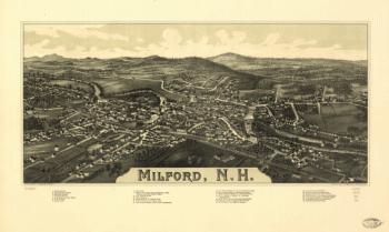
Milford, N.H. Drawn & pub. by L. R. Burleigh. C.H. Vogt.
Price range: $39.95 through $69.95 -
Bird's eye view of Whitefield, Coos County, N.H., 1883. [Drawn by] A. F. Poole. Beck & Pauli, lithographers.
Price range: $39.95 through $69.95 -
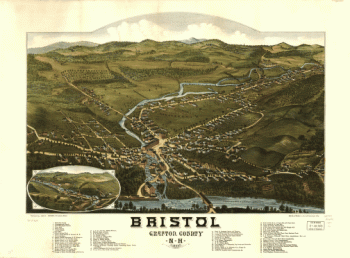
Bristol, Grafton County, N.H. 1884. Beck & Pauli, litho.
Price range: $39.95 through $69.95 -
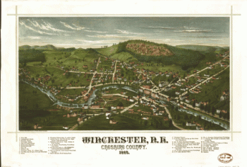
Winchester, N.H., Cheshire County, 1887 / drawn & published by Geo. E. Norris.
Price range: $39.95 through $69.95 -
Bird's eye view of Littleton, Grafton County, N.H. 1883. [Drawn by] A. Poole. Beck & Pauli, lithographers.
Price range: $39.95 through $69.95 -
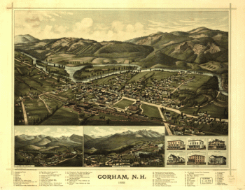
Gorham, N.H. 1888. Drawn & published by Geo. E. Norris. The Burleigh Lith. Est.
Price range: $39.95 through $69.95 -
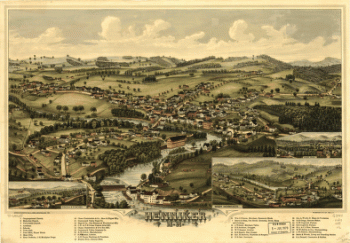
Henniker, N.H. Drawn & published by Geo. E. Norris. The Burleigh Lith. Est.
Price range: $39.95 through $69.95 -
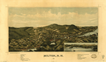
Milton, N.H., 1888 / drawn & published by Geo. E. Norris ; the Burleigh Lith. Est., Troy, N.Y.
Price range: $39.95 through $69.95 -
Bird's eye view of the village of Lancaster, Coos County, N.H. 1883. [Drawn by] A. F. Poole. Beck & Pauli, lithographers.
Price range: $39.95 through $69.95 -
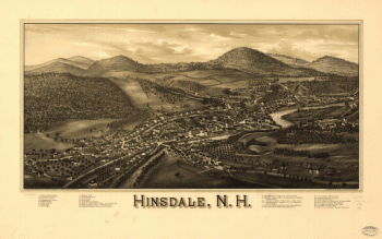
Hinsdale, N.H. Drawn, published & copyrighted by L. R. Burleigh. C.H. Vogt & Son, lith.
Price range: $39.95 through $69.95 -
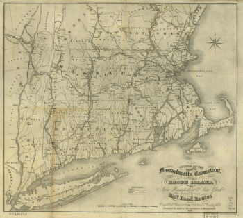
The states of Massachusetts, Connecticut, and Rhode Island, and parts of New Hampshire & New York
Price range: $39.95 through $69.95 -
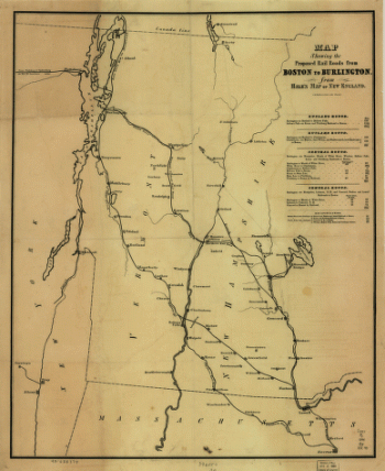
Map showing the proposed rail roads from Boston to Burlington, from Hale's map of New England
Price range: $39.95 through $69.95 -
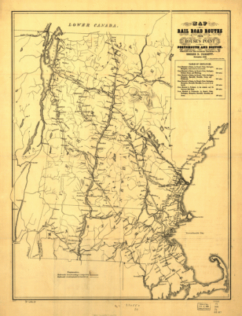
Railroad routes from Rouse's Point to Portsmouth and Boston
Price range: $39.95 through $69.95 -
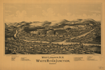
West Lebanon, N.H., and White River Junction, Vermont. Drawn & published by Geo. E. Norris. Burleigh Lith. Est.
Price range: $39.95 through $69.95 -
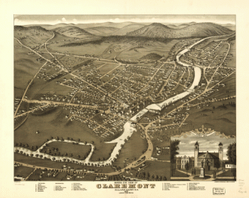
Birds eye view of Claremont, Sullivan County, N.H. 1877. A. Ruger del.
Price range: $39.95 through $69.95 -
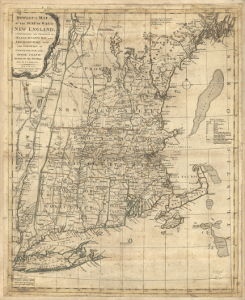
Bowles's map of the seat of war in New England
Price range: $39.95 through $69.95 -
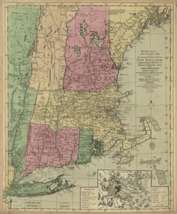
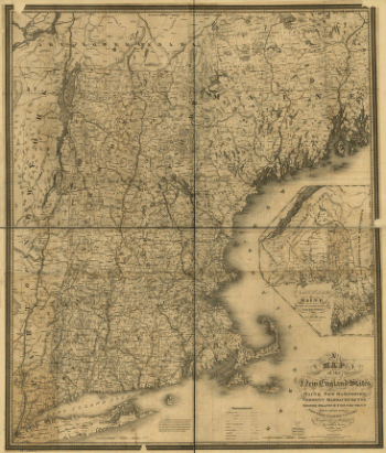
Bowles's new pocket map of the most inhabited part of New England
Price range: $39.95 through $69.95 -
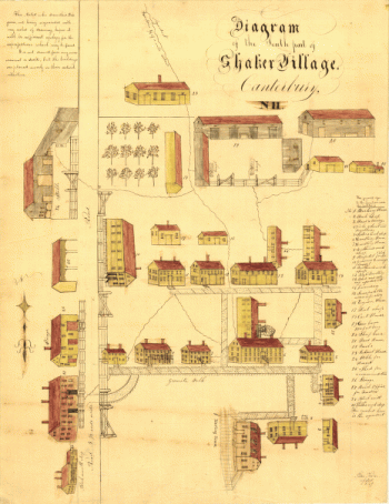
Diagram of the south part of Shaker Village, Canterbury, NH.
Price range: $39.95 through $69.95 -
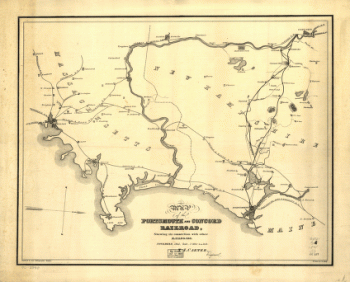
Portsmouth and Concord Railroad
Price range: $39.95 through $69.95 -
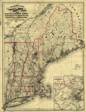
Maine, New Hampshire, Vermont, Massachusetts, Rhode Island, Connecticut and Lower Canada, 1860
Price range: $39.95 through $69.95 -
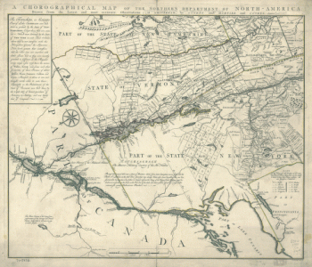
Chorographical map Northern Department of North-America
Price range: $39.95 through $69.95 -
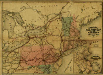
J. Sage & Sons new & reliable rail road map, travellers edition, Eastern.
Price range: $39.95 through $69.95 -
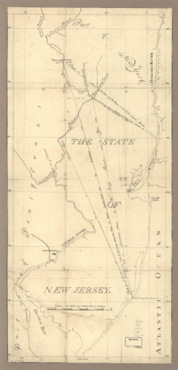
The State of New Jersey
Price range: $39.95 through $69.95 -
New York & New Jersey commissioners line from 41 on Hudson's River taken in 1769.
Price range: $39.95 through $69.95 -
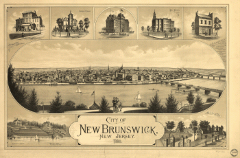
City of New Brunswick, New Jersey / Packard & Butler Lith. Philada.
Price range: $39.95 through $69.95 -
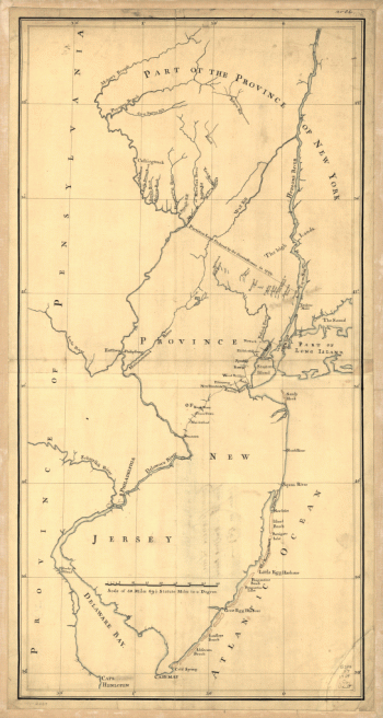
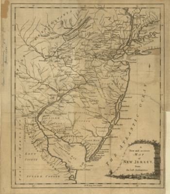
A new and accurate map of New Jersey, from the best authorities
Price range: $39.95 through $69.95 -
Map of the coast of New Jersey from Barnegat Inlet to Cape May.
Price range: $39.95 through $69.95 -
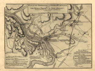
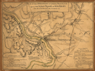
Operations of General Washington, against the Kings troops in New Jersey, from the 26th, of December, 1776, to the 3d. January 1777
Price range: $39.95 through $69.95 -
Map of British outposts between Burlington and New Bridge, New Jersey, December 1776.
Price range: $39.95 through $69.95 -
Asbury Park, Ocean Grove and vicinity, New Jersey 1897.
Price range: $39.95 through $69.95 -
Rand, McNally & Co.'s map of New York city and vicinity showing steam railroads and electric lines.
Price range: $39.95 through $69.95 -
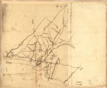
Draft of roads in New Jersey.
Price range: $39.95 through $69.95 -
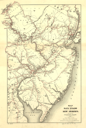
Map of the rail roads of New Jersey, and parts of adjoining states.
Price range: $39.95 through $69.95 -
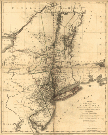
A map of the Province of New-York
Price range: $39.95 through $69.95
![Bird's eye view of Whitefield, Coos County, N.H., 1883. [Drawn by] A. F. Poole. Beck & Pauli, lithographers.](https://www.ushistoricalarchive.com/wp-content/uploads/nc/data/products/im/sm/nh/b45-350x270.gif)
![Bird's eye view of Littleton, Grafton County, N.H. 1883. [Drawn by] A. Poole. Beck & Pauli, lithographers.](https://www.ushistoricalarchive.com/wp-content/uploads/nc/data/products/im/sm/nh/b48-350x272.gif)
![Bird's eye view of the village of Lancaster, Coos County, N.H. 1883. [Drawn by] A. F. Poole. Beck & Pauli, lithographers.](https://www.ushistoricalarchive.com/wp-content/uploads/nc/data/products/im/sm/nh/b52-350x265.gif)