State Maps
-

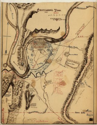
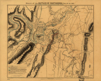
Chattanooga Tenn. 1863 / G.H. Blakeslee, U.S. Top. Eng.
$17.95 – $47.95 -
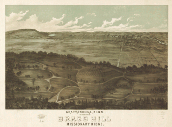
Chattanooga, Tenn. as seen from Bragg Hill, Missionary Ridge
$17.95 – $47.95 -
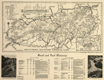
Great Smoky Mountains National Park
$17.95 – $47.95 -
Original maps of Forts Henry & Donelson and vicinity
$17.95 – $47.95 -
Great Smoky Mountains National Park
$17.95 – $47.95 -
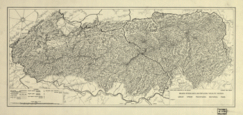
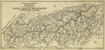
Preliminary base map, Great Smoky Mountains National Park
$17.95 – $47.95 -
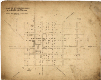
Franklin, Tennessee
$17.95 – $47.95 -
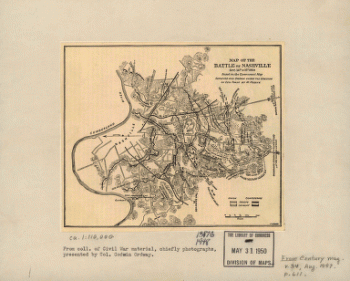
Map of the battle of Nashville
$17.95 – $47.95 -
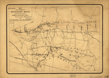
Map of a portion of Missionary Ridge
$17.95 – $47.95 -
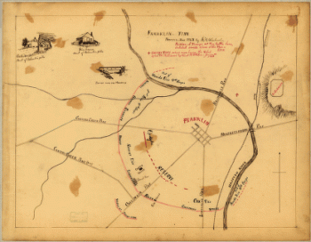
Field works at Franklin, Tenn.
$17.95 – $47.95 -
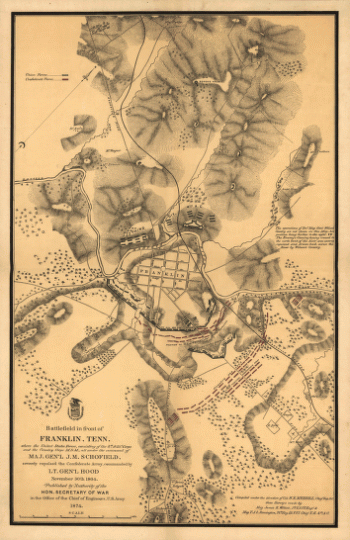
Battlefield in front of Franklin, Ten. November 30th, 1864
$17.95 – $47.95 -
Battlefield in front of Franklin, Ten. November 30th, 1864
$17.95 – $47.95 -
State of Texas
$17.95 – $47.95 -
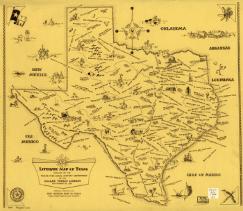
Literary map of Texas. Compiled Sept. 25, 1955
$17.95 – $47.95 -
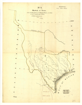
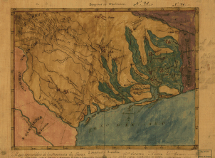
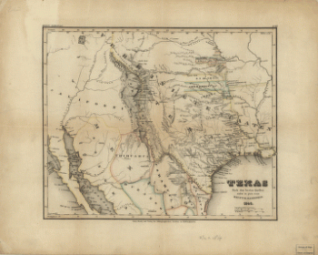
Sketch of Texas with the boundaries of Mexican States
$17.95 – $47.95 -
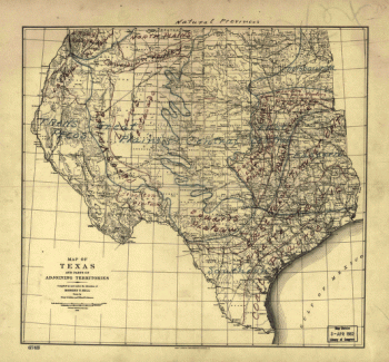
Natural provinces : Texas
$17.95 – $47.95 -
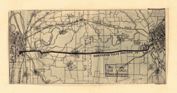
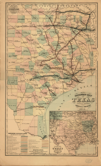
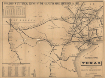
Texas railroads
$17.95 – $47.95 -
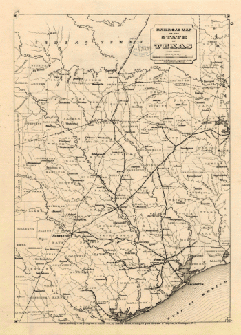
Gray's railroad map of Texas
$17.95 – $47.95 -
Mapa topográfico de la provincia de Texas
$17.95 – $47.95 -
Neue Karte de Staates Texas für 1881
$17.95 – $47.95 -
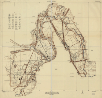
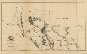
Tarrant County, Trinity River, Fort Worth sheet
$17.95 – $47.95 -
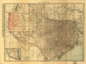
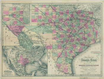
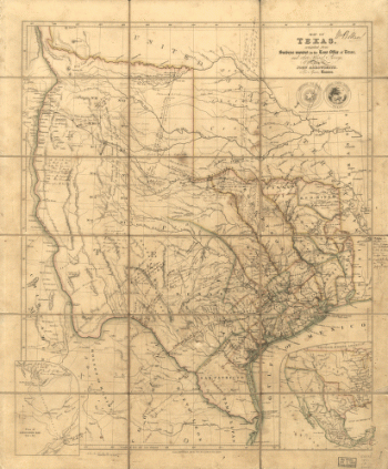
Map of Texas
$17.95 – $47.95 -
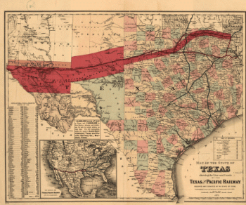
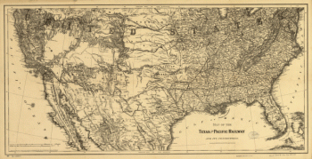
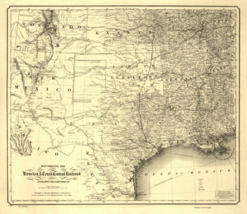
Texas and Pacific Railway and its connections
$17.95 – $47.95 -
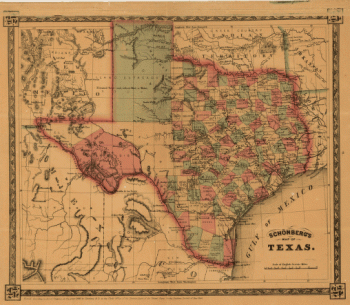
Schönberg's map of Texas.
$17.95 – $47.95 -
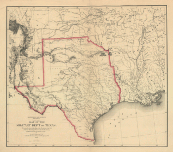
Map of the military dep't of Texas
$17.95 – $47.95 -
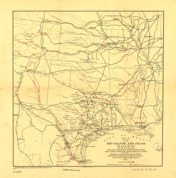
Rio Grande and Pecos Railway
$17.95 – $47.95 -
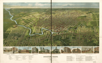
Houston, Texas … 1891
$17.95 – $47.95 -
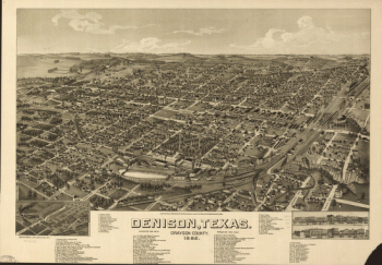
Denison, Texas, Grayson County 1886
$17.95 – $47.95 -
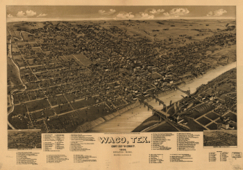
Waco, Texas, county seat of McLennan Cy. 1886
$17.95 – $47.95 -
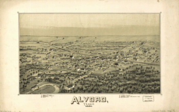
Alvord, Texas
$17.95 – $47.95 -
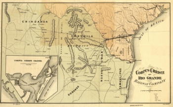
Corpus Christi and Rio Grande Railway Company
$17.95 – $47.95 -
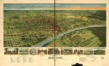
Waco, Texas 1892
$17.95 – $47.95
![General Buell's map of the battle-field of Shiloh. [April 6-7, 1862]](https://www.ushistoricalarchive.com/wp-content/uploads/nc/data/products/im/sm/tn/b67-350x287.gif)

![Winter quarters 1864 : [vicinity of Lookout Mountain, Tennessee] / profile by G.H. Blakeslee T.E., March 10-1864.](https://www.ushistoricalarchive.com/wp-content/uploads/nc/data/products/im/sm/tn/b76-350x275.gif)
![Knoxville, Tenn. county seat of Knox County 1886. [Drawn by] H. Wellge. Beck & Pauli, litho.](https://www.ushistoricalarchive.com/wp-content/uploads/nc/data/products/im/sm/tn/b77-350x246.gif)
![Map of Chattanooga and environs. Engraved by Buff[alo] Elec. & Eng. Co.](https://www.ushistoricalarchive.com/wp-content/uploads/nc/data/products/im/sm/tn/b81.gif)

![Battle of Pittsburgh Landing [i.e., Shiloh] Engraved for 'Grant and his campaigns.' [April 6-7, 1862]](https://www.ushistoricalarchive.com/wp-content/uploads/nc/data/products/im/sm/tn/b85.gif)