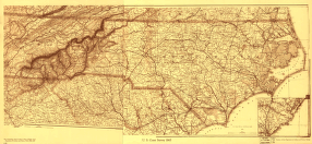
North Carolina
-

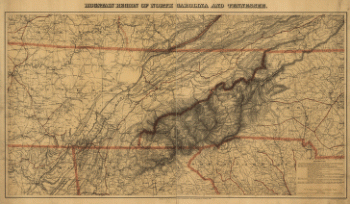
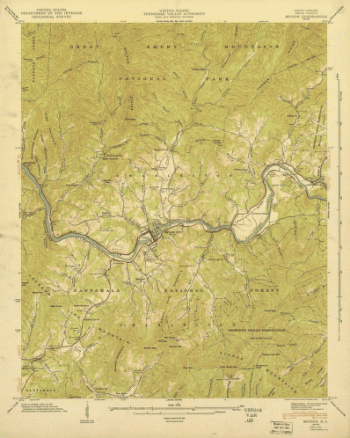
Mountain region of North Carolina and Tennessee
Price range: $39.95 through $69.95 -
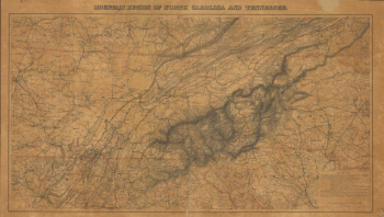
Mountain region of North Carolina and Tennessee.
Price range: $39.95 through $69.95 -
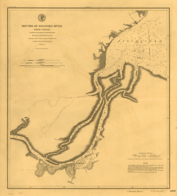
Mouths of Roanoke River, North Carolina
Price range: $39.95 through $69.95 -
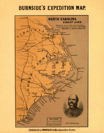
North Carolina coast line. Showing every inlet, sound & bay of special interest, from Fortress Monroe to South Carolina.
Price range: $39.95 through $69.95 -
North Carolina Drawn by A. Lindenkohl
Price range: $39.95 through $69.95 -
North Carolina. – Bryson
Price range: $39.95 through $69.95 -
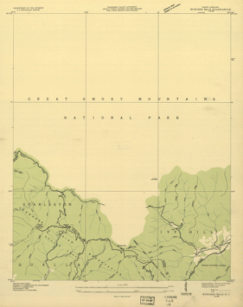
North Carolina. – Bunches Bald
Price range: $39.95 through $69.95 -
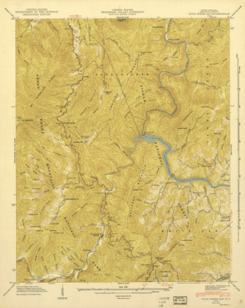
North Carolina. – Cove Creek
Price range: $39.95 through $69.95 -
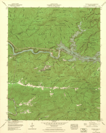
North Carolina. – Fontana Dam
Price range: $39.95 through $69.95 -
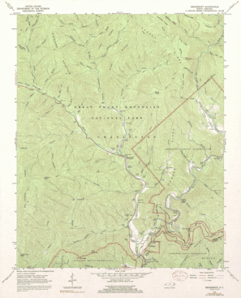
North Carolina. – Smokemont
Price range: $39.95 through $69.95 -
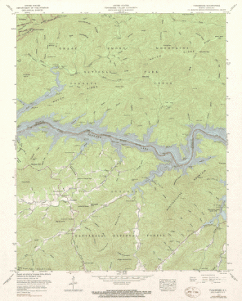
North Carolina. – Tuskeegee
Price range: $39.95 through $69.95 -
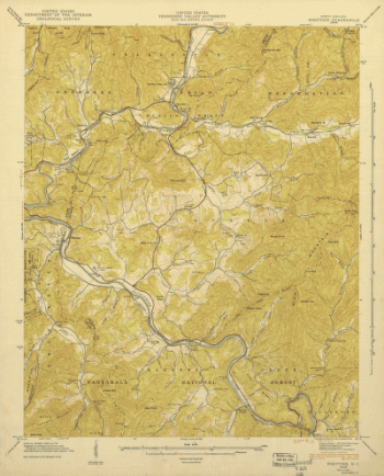
North Carolina. – Whittier
Price range: $39.95 through $69.95 -
North Carolina. – Clingmans Dome
Price range: $39.95 through $69.95 -
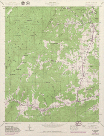
North Carolina. – Dellwood
Price range: $39.95 through $69.95 -
North Carolina. – Luftee Knob
Price range: $39.95 through $69.95 -
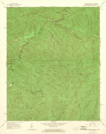
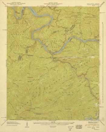
North Carolina. – Tapoco
Price range: $39.95 through $69.95 -
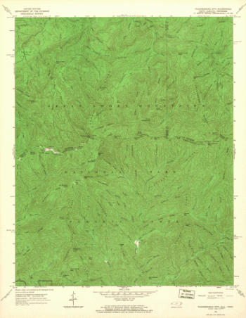
North Carolina. – Thunderhead Mountain
Price range: $39.95 through $69.95 -
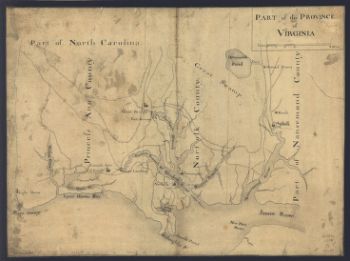
Part of the Province of Virginia.
Price range: $39.95 through $69.95 -
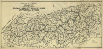
Preliminary base map, Great Smoky Mountains National Park.
Price range: $39.95 through $69.95 -
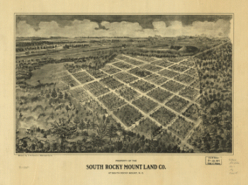
Property of the South Rocky Mount Land Co. at South Rocky Mount, N.C.
Price range: $39.95 through $69.95 -
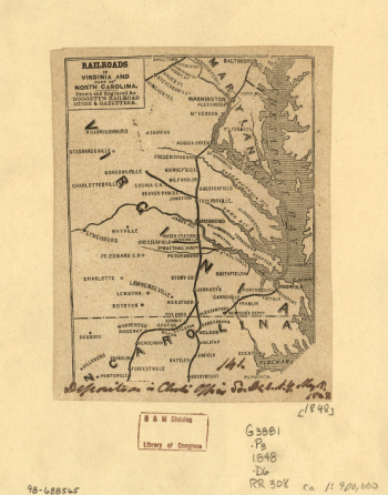
Railroads in Virginia and part of North Carolina, drawn and engraved for Doggett's Railroad Guide & Gazetteer.
Price range: $39.95 through $69.95 -
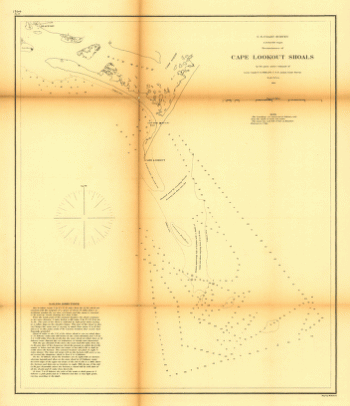
Reconnoissance of Cape Lookout shoals by the party
Price range: $39.95 through $69.95 -
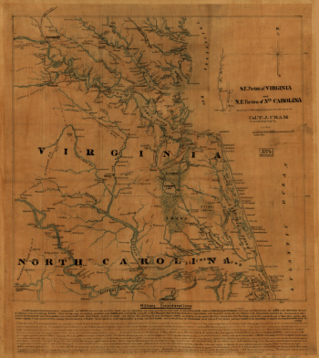
S.E. portion of Virginia and N.E. portion of N'th Carolina
Price range: $39.95 through $69.95 -
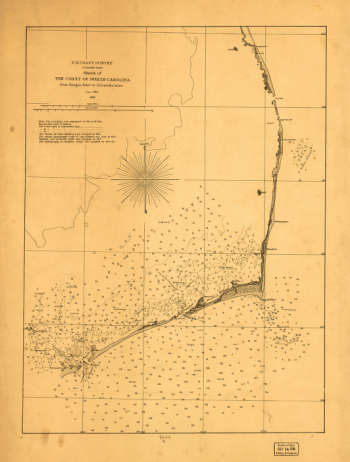
Sketch of the coast of North Carolina from Oregon Inlet to Ocracoke Inlet.
Price range: $39.95 through $69.95 -
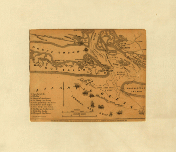
Sketch showing route of the Burnside expedition [to Roanoke Island, N.C., February 6, 1862]
Price range: $39.95 through $69.95 -
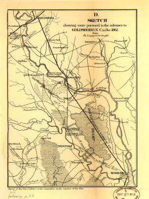
Sketch showing route pursued in the advance to Goldsboro, N.C., in Dec. 1862
Price range: $39.95 through $69.95 -
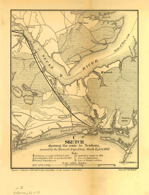
Sketch showing the route to Newbern, pursued by the Burnside expedition, March 13 & 14, 1862
Price range: $39.95 through $69.95 -
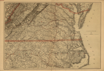
Southern Virginia and northern North Carolina
Price range: $39.95 through $69.95 -
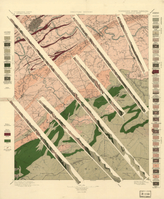
Tennessee-North Carolina.
Price range: $39.95 through $69.95 -
The war in North Carolina. Map of the entrance to Beaufort harbor, N.C. showing the position of Fort Macon, etc.
Price range: $39.95 through $69.95 -
Western border states
Price range: $39.95 through $69.95

![Sketch showing route of the Burnside expedition [to Roanoke Island, N.C., February 6, 1862]](https://www.ushistoricalarchive.com/wp-content/uploads/nc/data/products/im/sm/nc/b46-350x765.gif)