New York
-

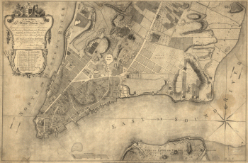
This plan of the city of New York
$17.95 – $47.95 -
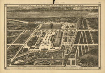
Proposed site for World's Fair in 1883
$17.95 – $47.95 -
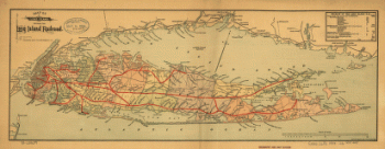
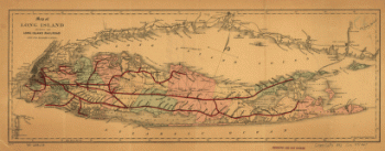
Map of Long Island showing the Long Island Railroad.
$17.95 – $47.95 -
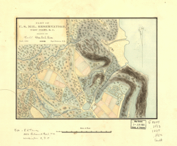
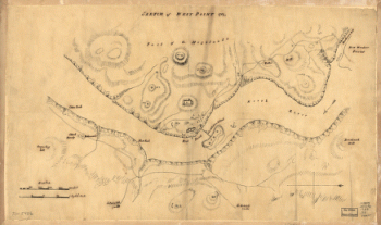
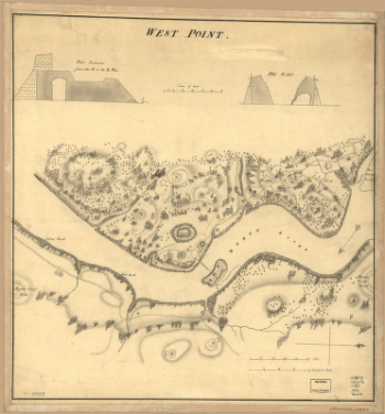
Sketch of West Point.
$17.95 – $47.95 -
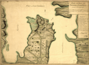
Plan of the fort and fortress at Crown Point with their environs
$17.95 – $47.95 -
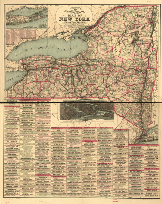
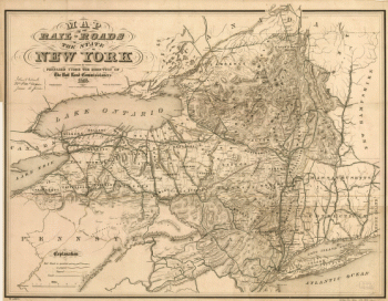
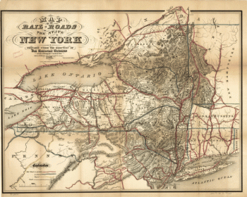
Map of the railroads of the state of New York
$17.95 – $47.95 -
Map of the railroads of the state of New York
$17.95 – $47.95 -
Map showing the Bowery Lane area of Manhattan.
$17.95 – $47.95 -
West Point.
$17.95 – $47.95 -
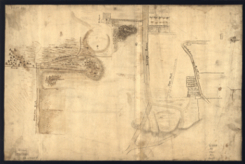
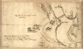
Sketch of the rebel works at West Point
$17.95 – $47.95 -
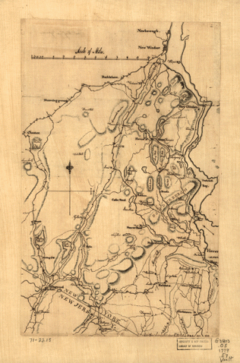
Map of Orange and Rockland counties area of New York
$17.95 – $47.95 -
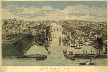
Oswego, N.Y. / Lewis Bradley del. ; on stone by D.W. Moody.
$17.95 – $47.95 -
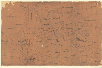
Environs de New-York, de Long-Island, etc.
$17.95 – $47.95 -
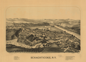
Schaghticoke, N.Y.
$17.95 – $47.95 -
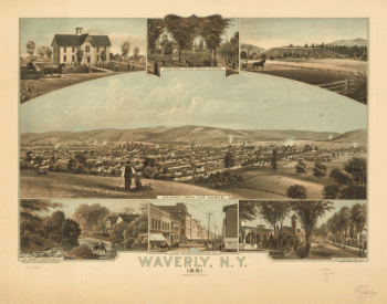
Waverly, N.Y. 1881. Thomas Hunter Lith.
$17.95 – $47.95 -
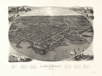
View of the borough of Larchmont, New York.
$17.95 – $47.95 -
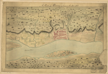
A Plan of Albany, as it was in the year 1758.
$17.95 – $47.95 -
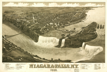
Niagara-Falls, N.Y. 1882. H. Wellge del. Beck & Pauli Lith.
$17.95 – $47.95
![Topographic map of West Point, Constitution Island, and vicinity, N.Y.] / T.B.J. Weld.](https://www.ushistoricalarchive.com/wp-content/uploads/nc/data/products/im/sm/ny/b83-350x414.gif)