New Hampshire
-

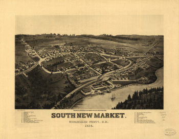
South-New-Market, Rockingham County, N.H. 1884.
$17.95 – $47.95 -
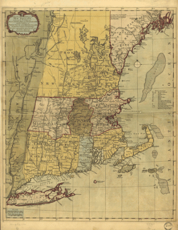
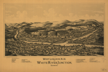
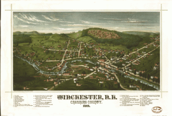
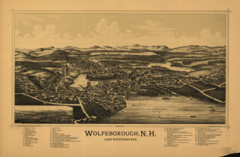
The most inhabited part of New England
$17.95 – $47.95 -
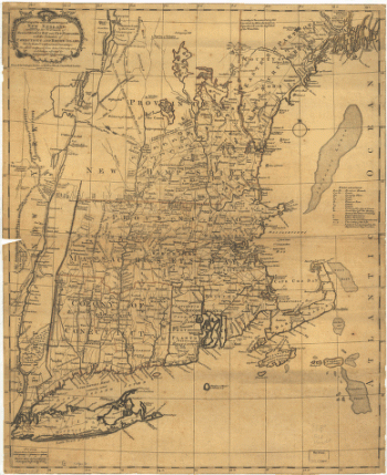
The most inhabited part of New England
$17.95 – $47.95 -
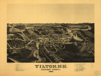
Tilton, N.H., Belknap County, 1884. H. Wellge, del.
$17.95 – $47.95