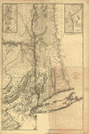
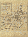
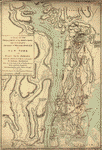
New York
-

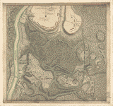
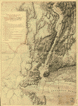
The White Plains
$17.95 – $47.95 -
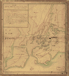
The State of New Jersey
$17.95 – $47.95 -
The seat of action, between the British and American forces
$17.95 – $47.95 -
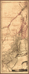
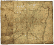
The provinces of New York, and New Jersey
$17.95 – $47.95 -
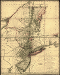
The provinces of New York, and New Jersey
$17.95 – $47.95 -
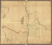
The provinces of New York, and New Jersey
$17.95 – $47.95 -
The Province of New York
$17.95 – $47.95 -
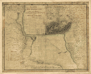
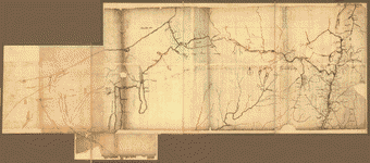
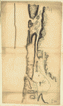
The Northern parts of New York
$17.95 – $47.95 -
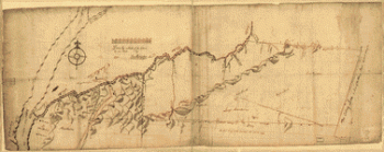
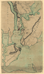
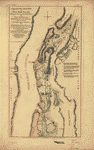
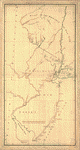
The Hudsons River
$17.95 – $47.95 -
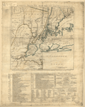
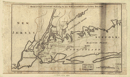
The country twenty five miles round New York
$17.95 – $47.95 -
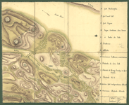
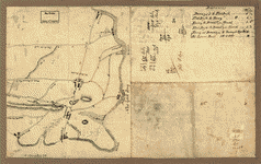
Sketch of the Hessian attack on Fort Washington
$17.95 – $47.95 -
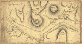
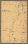
Sketch of the Heights of Kingsbridge 1777
$17.95 – $47.95 -
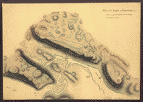
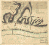
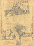
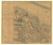
Sketch of Forts Clinton & Montgomery, stormed the 6th Oct 1777
$17.95 – $47.95 -
Reconnoissance de King's bridge
$17.95 – $47.95 -
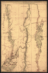
Province de New-York en 4 feuilles
$17.95 – $47.95 -
Position of the detachment under Lieut't Col Baum
$17.95 – $47.95 -
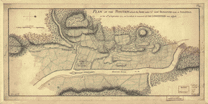
Position of the army on the 8th Octbr 1777
$17.95 – $47.95 -
Position des Armees ameriquaine et francoise a Kings-ferry
$17.95 – $47.95 -
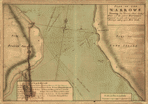
Plan of The Narrows
$17.95 – $47.95 -
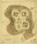
Plan of the fort and fortress at Crown Point with their environs
$17.95 – $47.95 -
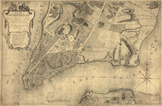
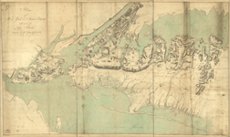
Plan of the city of New York
$17.95 – $47.95 -
Plan of the city of New York
$17.95 – $47.95 -
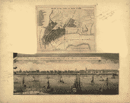
Plan of the attack the rebels on Long Island
$17.95 – $47.95 -
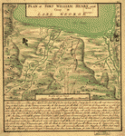
Plan of the attack on Fort William Henry and Ticonderoga
$17.95 – $47.95 -
Plan of New York and Staten Islands with part of Long Island
$17.95 – $47.95 -
Plan of New York and Staten Islands with part of Long Island
$17.95 – $47.95 -
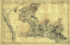
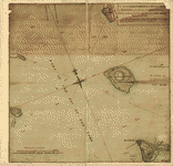
Plan of Governor's, Kennedy's, and Brown's Islands
$17.95 – $47.95 -
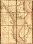
Plan of Fort William Henry and camp at Lake George
$17.95 – $47.95 -
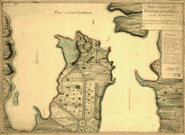
Plan of Carillon ou Ticonderoga
$17.95 – $47.95 -
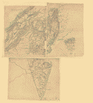
Oyster Bay and Huntington Bay
$17.95 – $47.95 -
NW parts of New York, no 156
$17.95 – $47.95 -
Northern part of New York Island
$17.95 – $47.95 -
Northern New Jersey – 3 Maps
$17.95 – $47.95 -
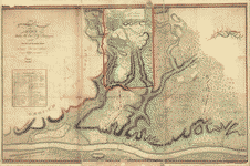
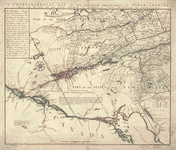
Northern Department of North-America
$17.95 – $47.95 -
Nord de l'Ile de New-York
$17.95 – $47.95 -
New York Island – Military and unfinished
$17.95 – $47.95 -
New York & New Jersey
$17.95 – $47.95