Civil War Maps
-

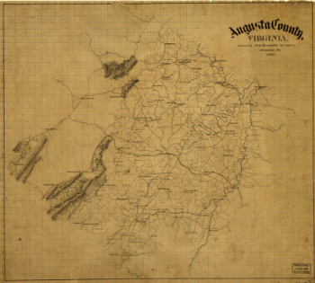
Augusta County, Virginia
$17.95 – $47.95 -
Augusta County, Va
$17.95 – $47.95 -
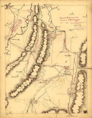
Atlanta campaign-1864. “Rossville” to “Snake Creek Gap.”
$17.95 – $47.95 -
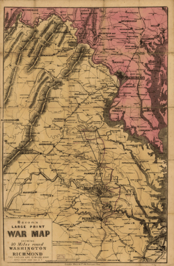
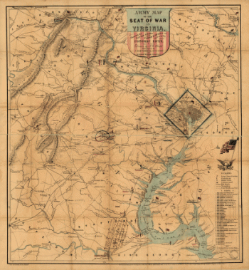
Army map of the seat of war in Virginia
$17.95 – $47.95 -
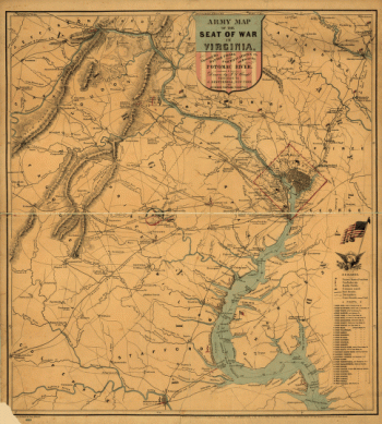
Army map of the seat of war in Virginia
$17.95 – $47.95 -
Army map of the seat of war in Virginia
$17.95 – $47.95 -
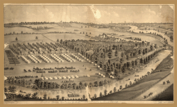
Army camp at Gaylord's Grove, Cuyahoga Falls, Ohio
$17.95 – $47.95 -
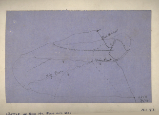
Area of the battle of Rich Mountain
$17.95 – $47.95 -
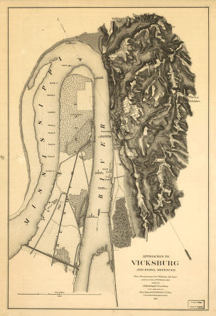
Approaches to Vicksburg and Rebel defences
$17.95 – $47.95 -
Approaches to Mobile, Ala. 1864
$17.95 – $47.95 -
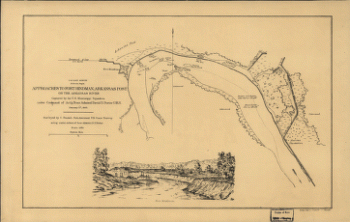
Approaches to Fort Hindman, Arkansas Post, on the Arkansas River
$17.95 – $47.95 -
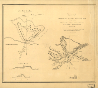
Approaches to Fort Butte La Rose, Louisiana
$17.95 – $47.95 -
Approaches of A. of P. to Fredericksburg
$17.95 – $47.95 -
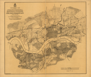
Approaches and defences of Knoxville, E. Tennessee
$17.95 – $47.95 -
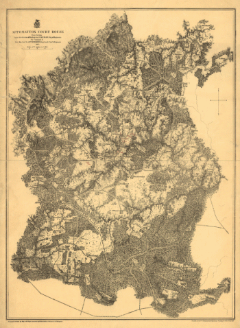
Appomattox Court House
$17.95 – $47.95 -
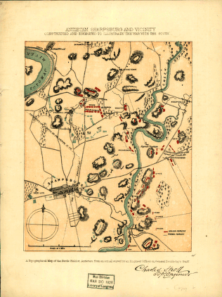
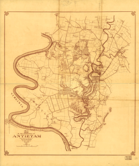
Antietam Sharpsburg and vicinity
$17.95 – $47.95 -
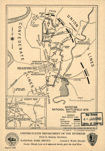
Antietam national battlefield site
$17.95 – $47.95 -
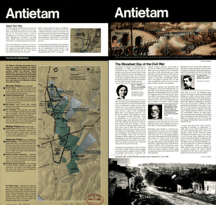
Antietam Battlefield
$17.95 – $47.95 -
Antietam Battlefield
$17.95 – $47.95 -
Antietam battlefield
$17.95 – $47.95 -
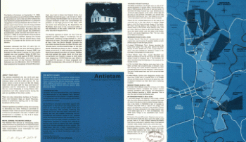
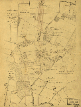
Antietam
$17.95 – $47.95 -
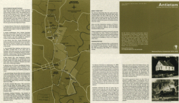
Antietam
$17.95 – $47.95 -
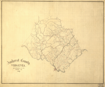
Amherst County, Virginia
$17.95 – $47.95 -
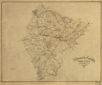
Albemarle County, Virginia
$17.95 – $47.95 -
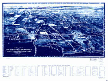
Aero view of Chickamauga and Chattanooga National Military Park
$17.95 – $47.95 -
Aero view of Chickamauga and Chattanooga National Military Park
$17.95 – $47.95 -
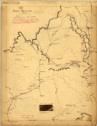
Across Kentucky Drawn by G.H.B
$17.95 – $47.95 -
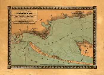
A correct map of Pensacola Bay showing topography of the coast
$17.95 – $47.95 -
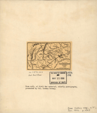
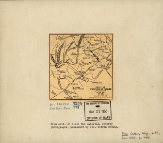
2nd Manassas Campaign
$17.95 – $47.95 -
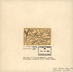
2nd Manassas Campaign
$17.95 – $47.95 -
2nd Manassas campaign
$17.95 – $47.95 -
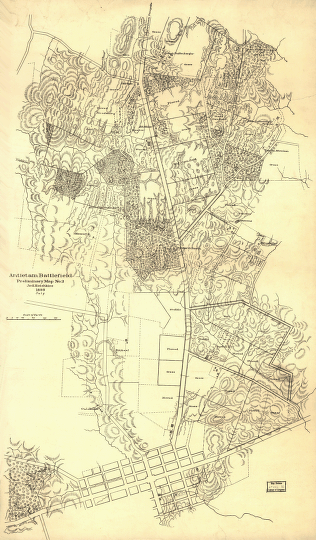
(No. 2) Map of the battlefield of Antietam
$17.95 – $47.95 -
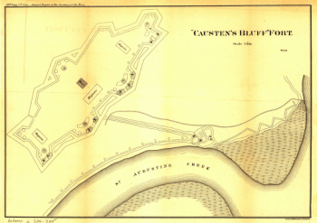
“Causten's Bluff” fort
$17.95 – $47.95