Civil War Maps
-

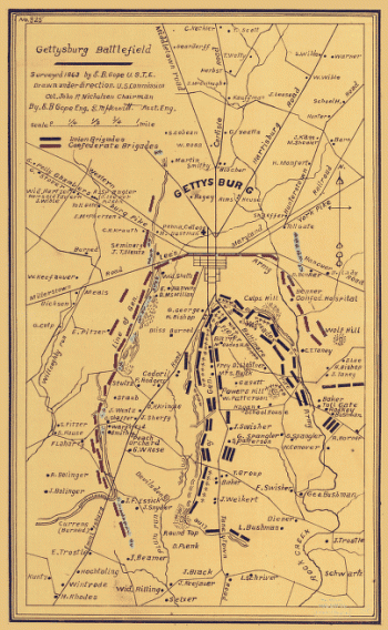
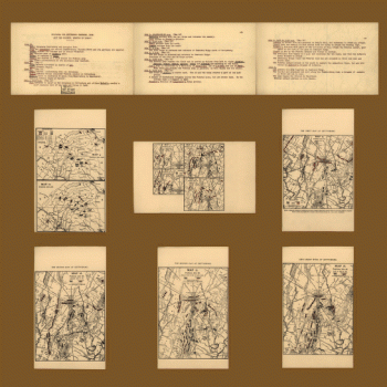
Gettysburg battlefield
$17.95 – $47.95 -
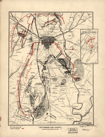
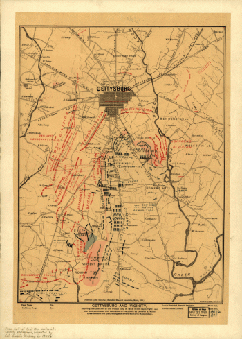
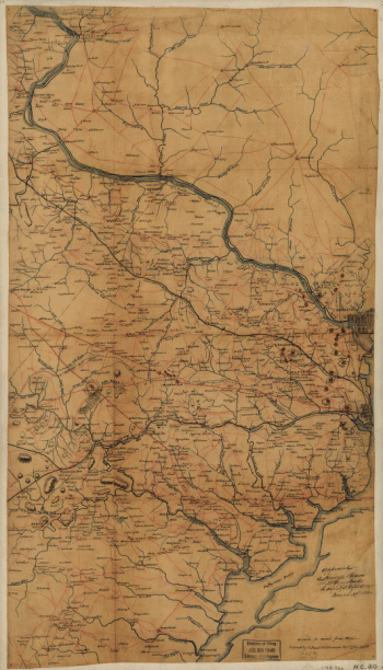
Gettysburg and vicinity, showing the lines of battle
$17.95 – $47.95 -
Gettysburg and vicinity, showing the lines of battle
$17.95 – $47.95 -
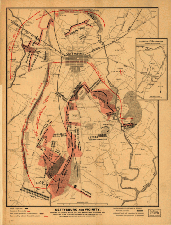
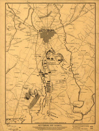
Gettysburg and vicinity
$17.95 – $47.95 -
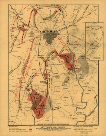
Gettysburg and vicinity
$17.95 – $47.95 -
Gettysburg and vicinity
$17.95 – $47.95 -
Gettysburg and vicinity
$17.95 – $47.95 -
Gettysburg and vicinity
$17.95 – $47.95 -
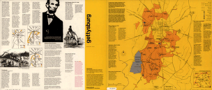
Gettysburg / National Park Service
$17.95 – $47.95 -
Gettysburg
$17.95 – $47.95 -
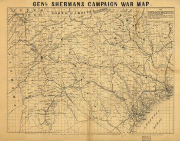
Genl. Sherman's campaign war map
$17.95 – $47.95 -
Genl. Sherman's campaign war map
$17.95 – $47.95 -
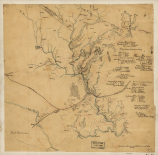
General map of the battle-field of Manassas
$17.95 – $47.95 -
General map of Charleston Harbor
$17.95 – $47.95 -
General Buell's map of the battle-field of Shiloh
$17.95 – $47.95 -
Ft. McAllister
$17.95 – $47.95 -
From Mitchelsville to Gallatin–Sumner Co.
$17.95 – $47.95 -
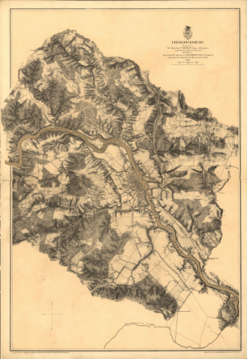
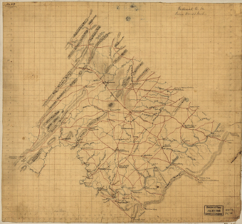
Fredericksburg in Dec. 1862
$17.95 – $47.95 -
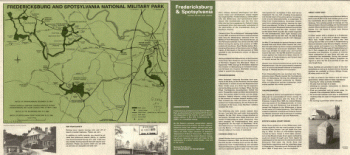
Fredericksburg and Spotsylvania National Military Park
$17.95 – $47.95 -
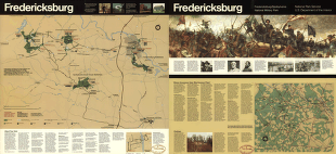
Fredericksburg
$17.95 – $47.95 -
Frederick County from from Wood's map
$17.95 – $47.95 -
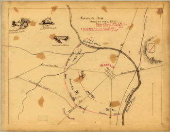
Franklin, Tenn
$17.95 – $47.95 -
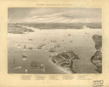
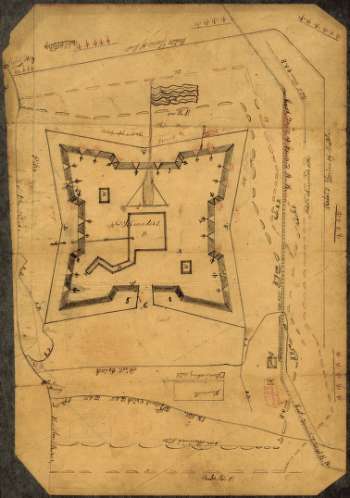
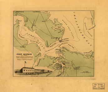
Fortress Monroe, Va. and its vicinity
$17.95 – $47.95 -
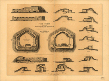
Fort Sumter at the time of its capture
$17.95 – $47.95 -
Fort Sanders, Knoxville – Map 2
$17.95 – $47.95 -
Fort Sanders, Knoxville – Map 1
$17.95 – $47.95 -
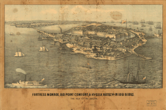
Fort Monroe, Old Point Comfort and Hygeia Hotel
$17.95 – $47.95 -
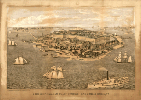
Fort Monroe and vicinity
$17.95 – $47.95 -
Fort Johnson
$17.95 – $47.95 -
Fort Henry, Tennessee, and environs
$17.95 – $47.95 -
Fort Henry, Tennessee, and environs
$17.95 – $47.95 -
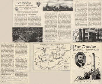
Fort Donelson National Military Park, Tennessee
$17.95 – $47.95 -
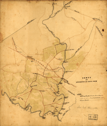
Fords on Occoquan and Bull Run
$17.95 – $47.95 -
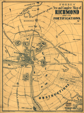
Forbes' new and complete map of Richmond and its fortifications
$17.95 – $47.95 -
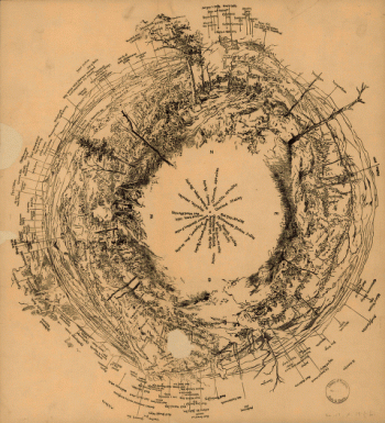
Fisheye view of Chattanooga and vicinity
$17.95 – $47.95 -
First Manassas
$17.95 – $47.95 -
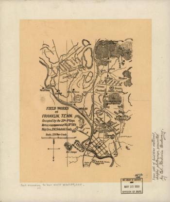
Field works at Franklin
$17.95 – $47.95 -
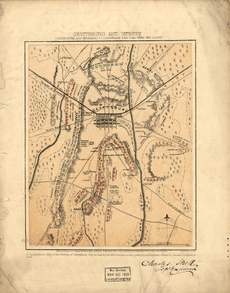
Field of Gettysburg
$17.95 – $47.95 -
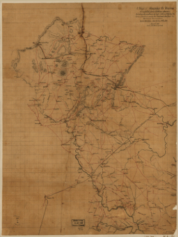
Fauquier County, Virginia
$17.95 – $47.95 -
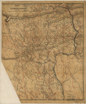
Fauquier & Loudon counties
$17.95 – $47.95 -
Fairfax County, and parts of Loudoun and Prince William Counties
$17.95 – $47.95 -
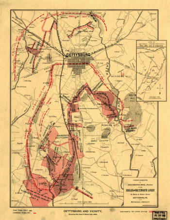
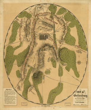
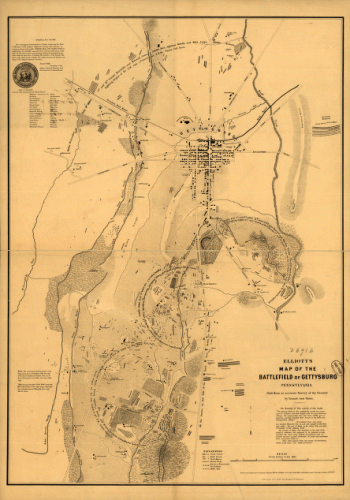
Elliott's map of the battlefield of Gettysburg
$17.95 – $47.95 -
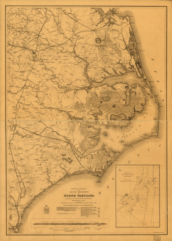
Eastern portion of the military department of North Carolina
$17.95 – $47.95 -
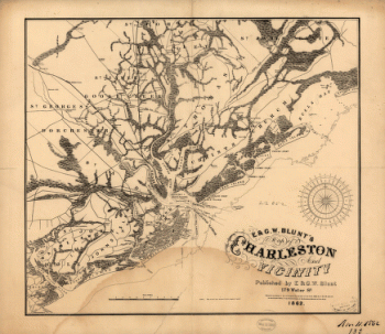
E. & G. W. Blunt's map of Charleston and vicinity
$17.95 – $47.95 -
Culpeper County
$17.95 – $47.95