12" x 18"
-

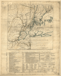
The country twenty five miles round New York
$17.95 – $47.95 -
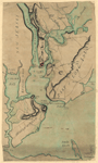
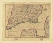
Plan of New York and Staten Islands with part of Long Island
$17.95 – $47.95 -
Environs de New-York, de Long-Island, etc
$17.95 – $47.95 -
Plan of New York and Staten Islands with part of Long Island
$17.95 – $47.95 -
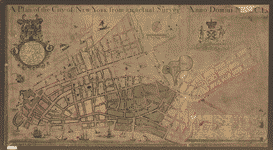
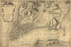
A plan of the city of New York from an actual survey
$17.95 – $47.95 -
Map showing the Bowery Lane area of Manhattan
$17.95 – $47.95 -
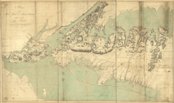
Plan of the city of New York
$17.95 – $47.95 -
A plan of the city of New-York & its environs to Greenwich
$17.95 – $47.95 -
A plan of the city and environs of New York in North America
$17.95 – $47.95 -
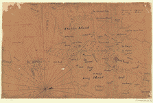
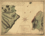
A plan of the Narrows of Hells-gate in the East River
$17.95 – $47.95 -
Plan of the city of New York
$17.95 – $47.95 -
Map of Orange and Rockland counties area of New York
$17.95 – $47.95 -
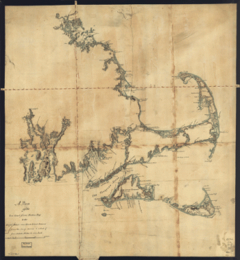
Oyster Bay and Huntington Bay
$17.95 – $47.95 -
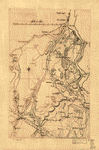
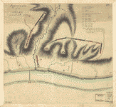
Position des Armees ameriquaine et francoise a Kings-ferry
$17.95 – $47.95 -
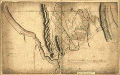
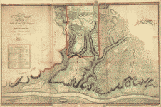
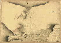
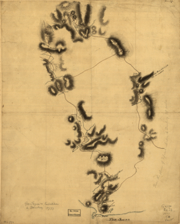
Position of the army on the 8th Octbr 1777
$17.95 – $47.95 -
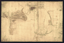
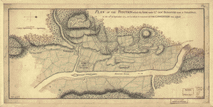
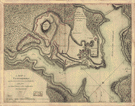
A Plan of the works on Spikendevil Hill with the ground in front
$17.95 – $47.95 -
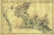
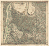
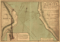
Plan of The Narrows
$17.95 – $47.95 -
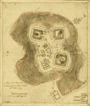
A Map of Ticonderoga
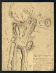
$17.95 – $47.95 -
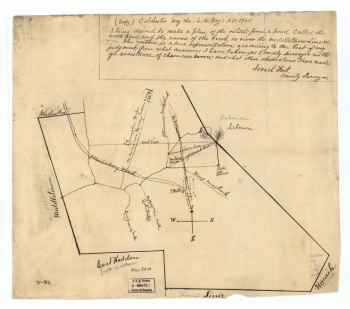
Colchester, May the: 6:th: Day: AD: 1765
$17.95 – $47.95 -
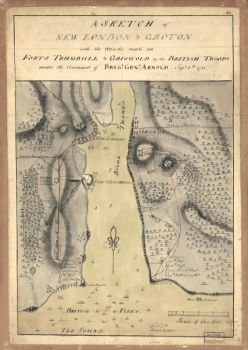
Gov Tryon's expedition to Danbury, 1777
$17.95 – $47.95 -
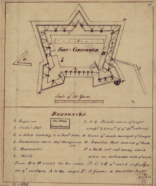
Fort-Griswold
$17.95 – $47.95 -
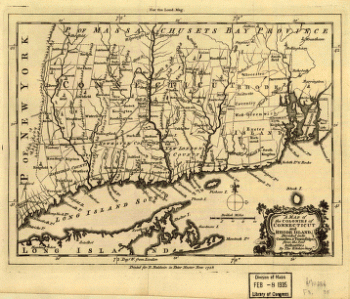
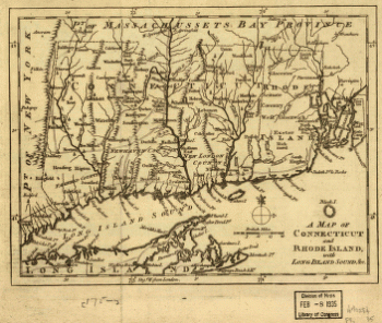
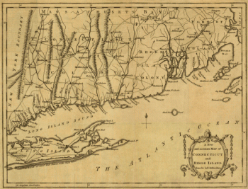
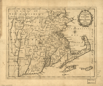
A map of Connecticut and Rhode Island with Long Island Sound, &c
$17.95 – $47.95 -
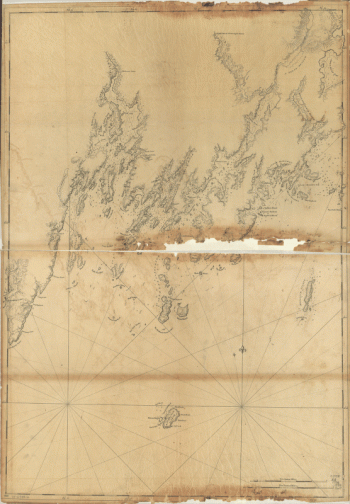
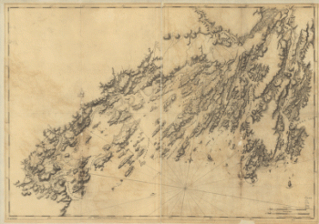
Coast of Maine from Rockland Harbor to Pemaquid Point
$17.95 – $47.95 -
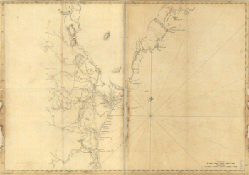
Coast of Maine from Mosquito Head to Spurwink River
$17.95 – $47.95 -
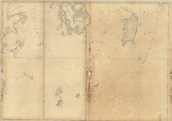
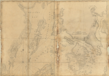
Coast of Maine from Frenchman Bay to Mosquito Harbor
$17.95 – $47.95 -
Coast of Maine from Salter Island to Portland Head
$17.95 – $47.95 -
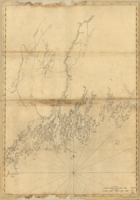
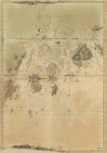
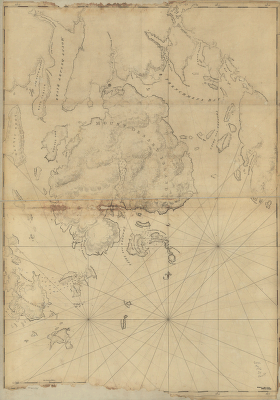
Mount Desert Island and neighboring coast of Maine
$17.95 – $47.95 -
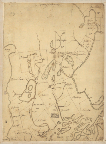
Part of Oxford and Cumberland counties, Me Drawn by S Greenleaf
$17.95 – $47.95 -
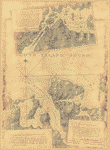
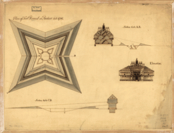
Plan of Fort Pownal at Penobscot built 1759
$17.95 – $47.95 -
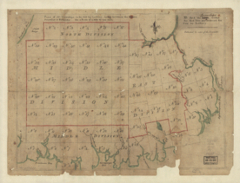
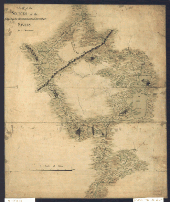
A Plan of the late Province of Main as far as Kennebeck River
$17.95 – $47.95