12" x 18"
-

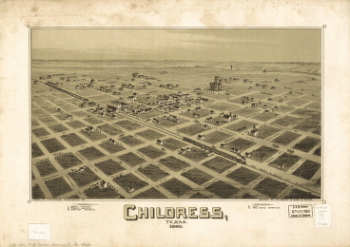
Childress, Texas 1890
$17.95 – $47.95 -
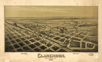
Clarendon, Texas, Donley Co. 1890
$17.95 – $47.95 -
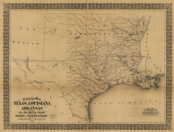
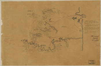
Campaign map of Texas, Louisiana and Arkansas
$17.95 – $47.95 -
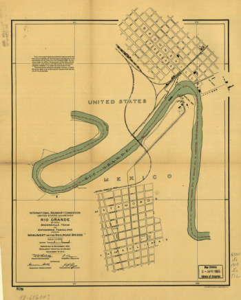
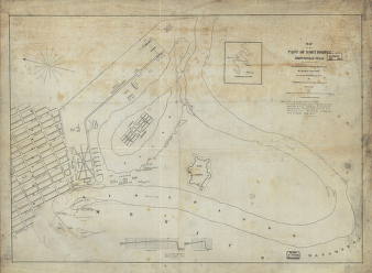
Map of the post of Fort Brown, Brownsville, Texas
$17.95 – $47.95 -
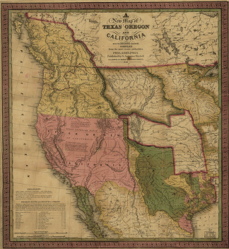
A new map of Texas, Oregon and California.
$17.95 – $47.95 -
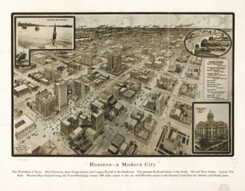
Houston – A modern city
$17.95 – $47.95 -
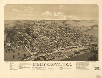
Honey Grove, Tex. Fannin County 1886
$17.95 – $47.95 -
Colton's United States
$17.95 – $47.95 -
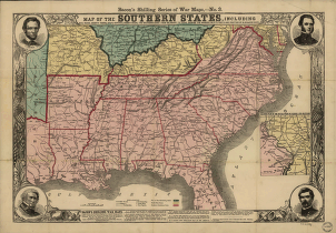
Southern states
$17.95 – $47.95 -
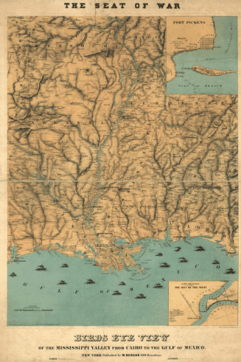
Birds eye view of the Mississippi Valley
$17.95 – $47.95 -
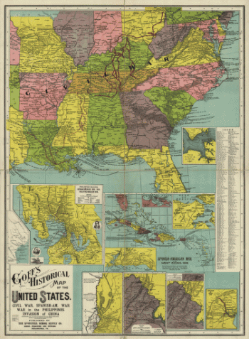
Goff's historical map of the United States
$17.95 – $47.95 -
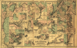
Colton's plans of U. S. harbors
$17.95 – $47.95 -
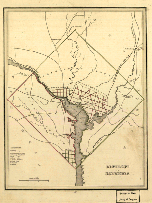
District of Columbia.
$17.95 – $47.95 -
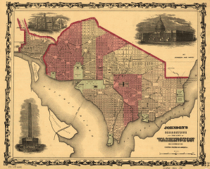
Johnson's Georgetown and the city of Washington
$17.95 – $47.95 -
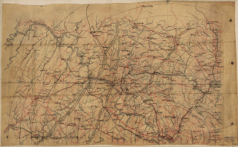
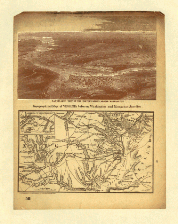
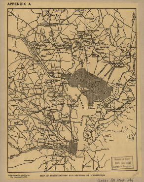
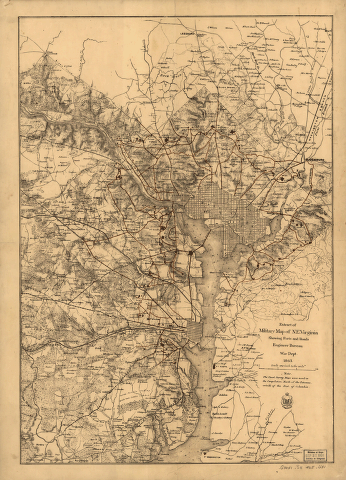
Map of fortifications and defenses of Washington
$17.95 – $47.95 -
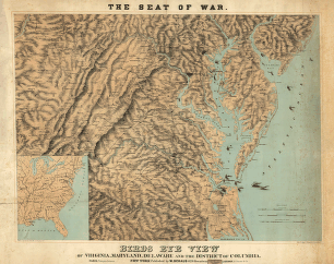
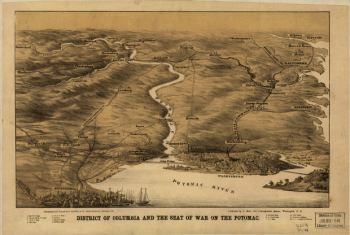
District of Columbia and the seat of war on the Potomac
$17.95 – $47.95 -
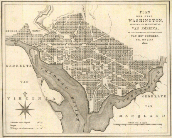
Plan der stad Washington
$17.95 – $47.95 -
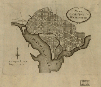
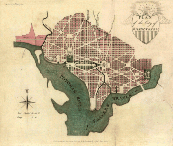
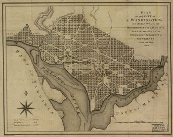
Plan of the city of Washington
$17.95 – $47.95 -
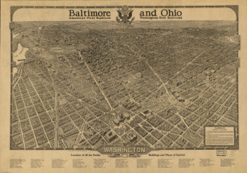
Bird's-eye view of Washington, D.C.–the nation's capital
$17.95 – $47.95 -
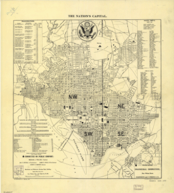
The nation's capital : Washington D.C.
$17.95 – $47.95 -
Washington, the beautiful capital of the nation
$17.95 – $47.95 -
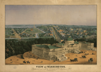
View of Washington City
$17.95 – $47.95 -
Virginia and Maryland
$17.95 – $47.95 -
Plan of the city of Washington
$17.95 – $47.95 -
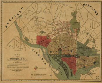
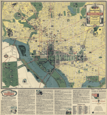
Washington, D.C., and environs
$17.95 – $47.95 -
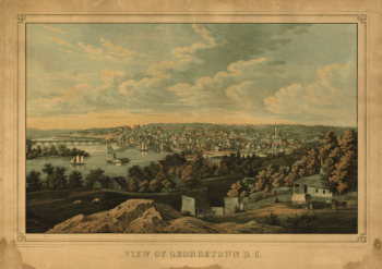
Georgetown D.C.
$17.95 – $47.95 -
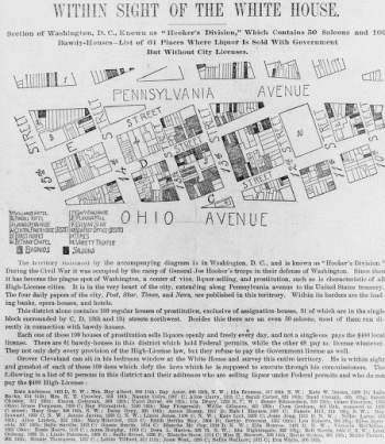
Within sight of the White House : section of Washington, D.C.
$17.95 – $47.95 -
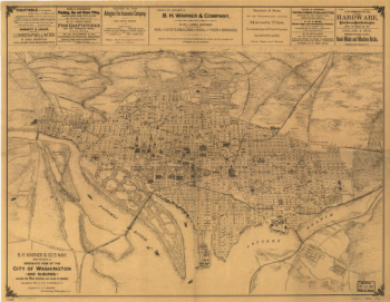
B.H. Warner & Co.'s Map
$17.95 – $47.95 -
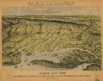
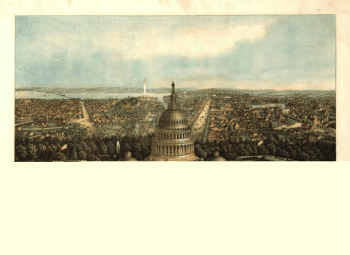
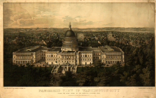
Panoramic view of Washington City
$17.95 – $47.95 -
Plan of the city of Washington.
$17.95 – $47.95 -
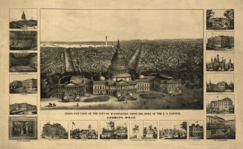
View of Washington
$17.95 – $47.95 -
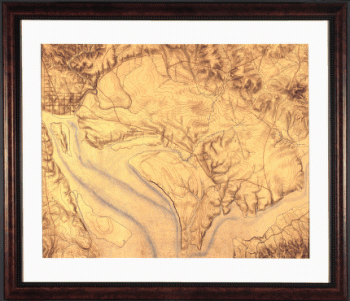
Topography of the federal city, 1791 : Washington D.C.
$17.95 – $47.95 -
Esso pictorial guide to Washington, D.C., and vicinity : 1942
$17.95 – $47.95
![Catalogue of points of historic interest : [Washington D.C. and metropolitan area]](https://www.ushistoricalarchive.com/wp-content/uploads/nc/data/products/im/sm/dc/b14-350x247.gif)