12" x 18"
-

Middle Tennessee / G.H. Blakeslee–1863.
$17.95 – $47.95 -

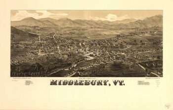
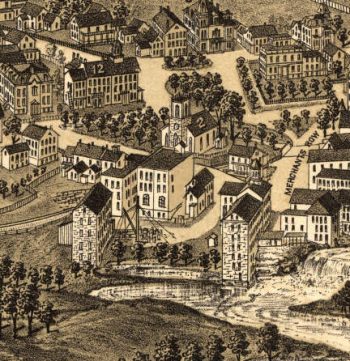
Middlebury VT 1886
$17.95 – $47.95 -
Middlesex County
$17.95 – $47.95 -
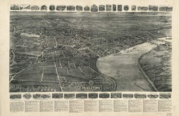
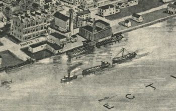
Middletown CT in 1915
$17.95 – $47.95 -
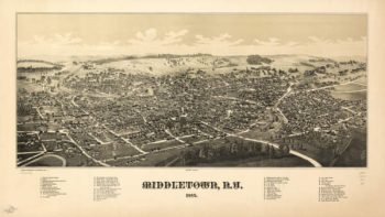
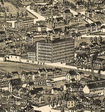
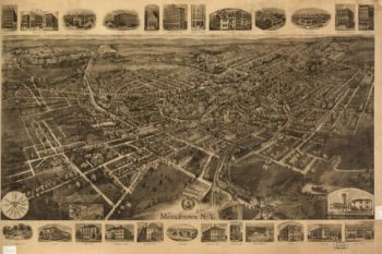
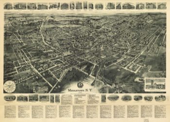
Middletown NY 1887
$17.95 – $47.95 -
Middletown NY 1890
$17.95 – $47.95 -
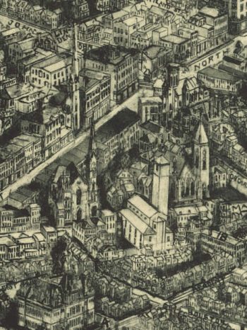
Middletown NY 1921
$17.95 – $47.95 -
Middletown NY 1922
$17.95 – $47.95 -
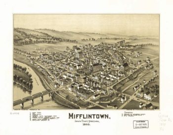
Mifflintown PA 1895
$17.95 – $47.95 -
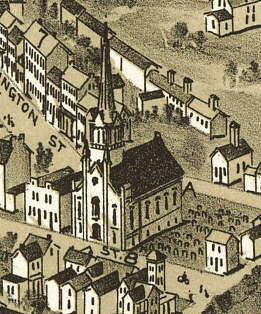
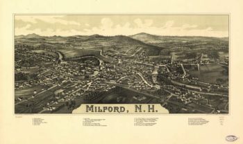
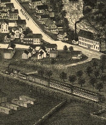
Milford NH 1886
$17.95 – $47.95 -
Milford, N.H. Drawn & pub. by L. R. Burleigh. C.H. Vogt.
$17.95 – $47.95 -
Military defences of Cincinnati, Covington and Newport
$17.95 – $47.95 -
Military map no. 54, prepared as basis for additional surveys
$17.95 – $47.95 -
Military map no. 54, prepared as basis for additional surveys
$17.95 – $47.95 -
Military map of part of Louisiana
$17.95 – $47.95 -
Military map of part of Louisiana
$17.95 – $47.95 -
Military map of Philadelphia
$17.95 – $47.95 -
Military map of south-eastern Virginia
$17.95 – $47.95 -
Military map of south-eastern Virginia
$17.95 – $47.95 -
Military map of south-eastern Virginia
$17.95 – $47.95 -
Military map of Suffolk & vicinity
$17.95 – $47.95 -
Military map of the vicinity of Frankfort, Kentucky
$17.95 – $47.95 -
Military reconnaissance in the vicinity of Gauley Bridge
$17.95 – $47.95 -
Military topographical map of eastern Virginia
$17.95 – $47.95 -
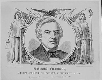
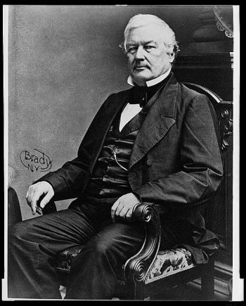
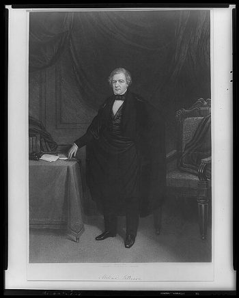
MILLARD FILLMORE
$17.95 – $47.95 -
Millard Fillmore
$17.95 – $47.95 -
Millard Fillmore
$17.95 – $47.95 -
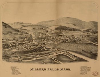
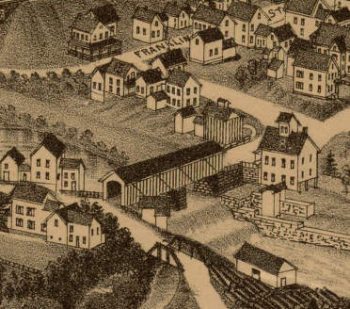
Millers Falls Mass 1800s
$17.95 – $47.95 -
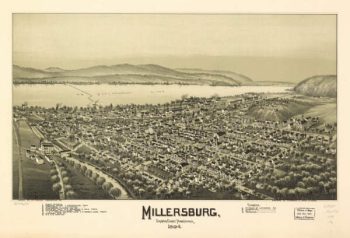
Millersburg PA 1894
$17.95 – $47.95 -
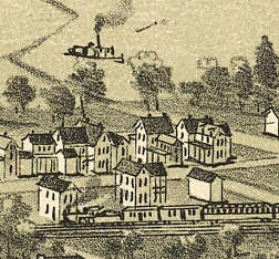
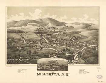
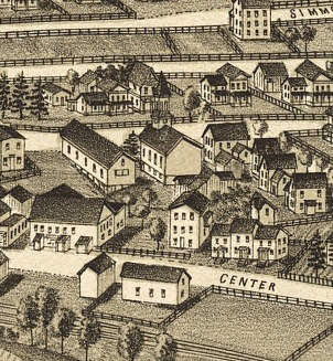
Millerton NY 1887
$17.95 – $47.95 -
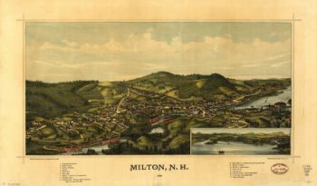
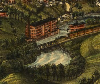
Milton NH Color 1888
$17.95 – $47.95 -
Milwaukee and Horicon Railroad
$17.95 – $47.95 -
Milwaukee and St
$17.95 – $47.95 -
Milwaukee and Superior Railroad
$17.95 – $47.95 -
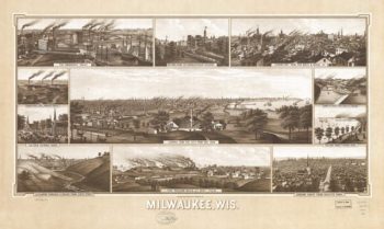
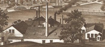
Milwaukee WI 1906
$17.95 – $47.95 -
Mine Hill and Schuylkill Haven Railroad Company
$17.95 – $47.95 -
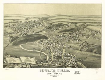
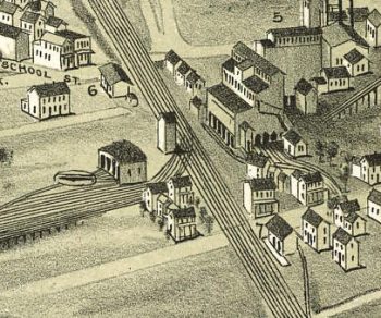
Miners Mills & Mill Creek PA 1892
$17.95 – $47.95 -
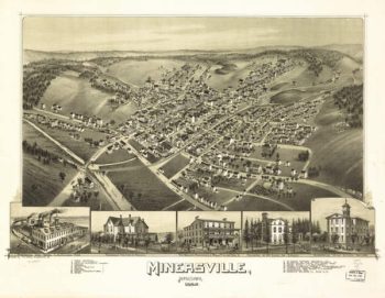
Minersville PA 1889
$17.95 – $47.95 -
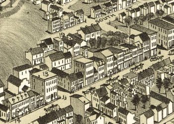
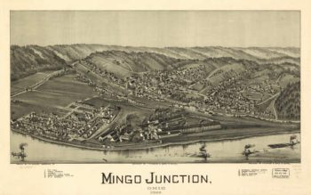
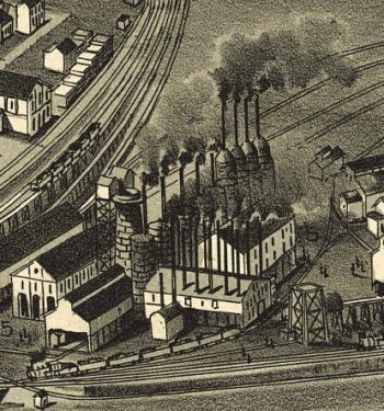
Mingo Junction OH 1899
$17.95 – $47.95 -
Mingo Junction, Ohio 1899
$17.95 – $47.95 -
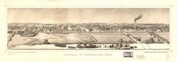
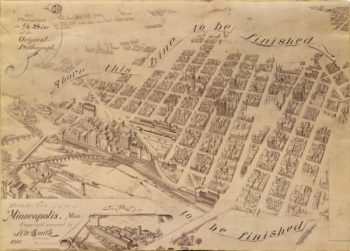
Minneapolis MN 1873
$17.95 – $47.95 -
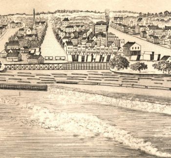
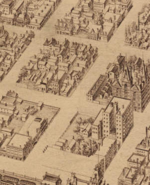
Minneapolis MN 1879
$17.95 – $47.95 -
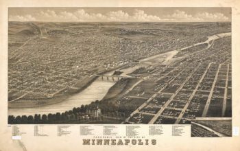
Minneapolis MN 1891
$17.95 – $47.95 -
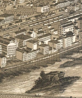
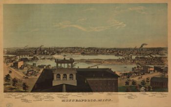
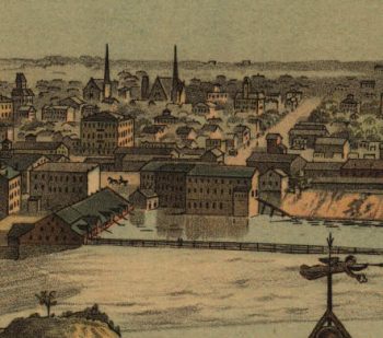
Minneapolis MN Color 1874
$17.95 – $47.95 -
Missionary Ridge – The positions of Baird's & Wood's divisions
$17.95 – $47.95