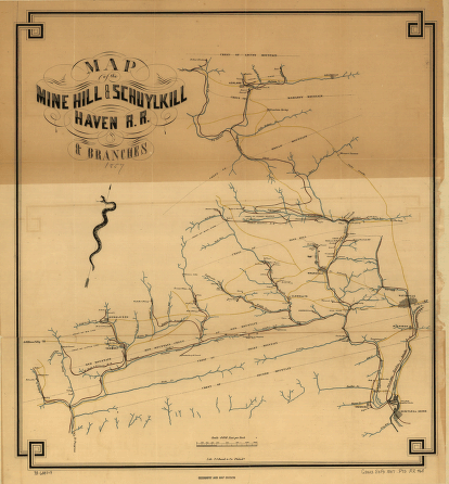
Map of the Mine Hill & Schuylkill Haven R.R. & branches. Map of part of Pennsylvania between Schuylkill Haven and Ashland, showing drainage, cities, towns, individual buildings, mines, mills, and the branch rail lines connecting with the Philadelphia Reading & Pottsville R.R. P.S. Duval & Co. CREATED/PUBLISHED [n.p., 1857] Scale 1:48,000.


