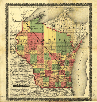
Township map of Wisconsin showing The Milwaukee & Horicon Rail Road and its connections. Map of Wisconsin and parts of adjacent states showing drainage, state boundaries, township lines, cities, and towns. Vliet, Jasper. CREATED/PUBLISHED N[ew] Y[ork], 1857. Scale ca. 1:1,400,000.


