12" x 18"
-

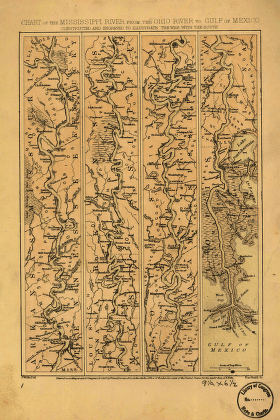
Mississippi River from the Ohio River to Gulf of Mexico
$17.95 – $47.95 -
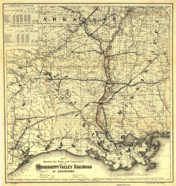
Mississippi Valley Railroad
$17.95 – $47.95 -

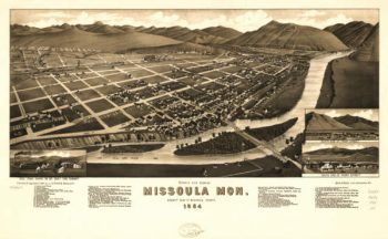
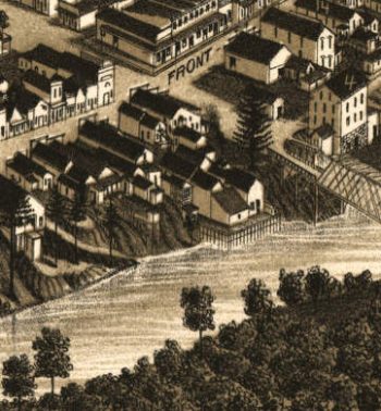
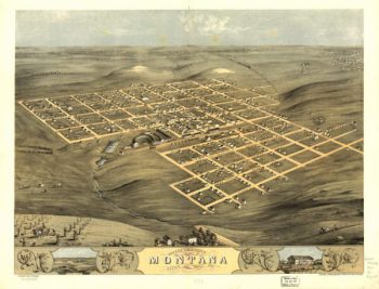
Missoula MT 1884
$17.95 – $47.95 -
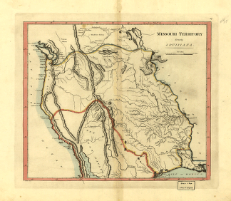
Missouri territory formerly Louisiana.
$17.95 – $47.95 -
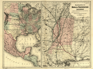
Mobile and Northwestern Railroad Company
$17.95 – $47.95 -
Mobile and Ohio Railroad Company
$17.95 – $47.95 -
Mohegan Maine 1896
$17.95 – $47.95 -
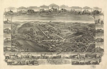
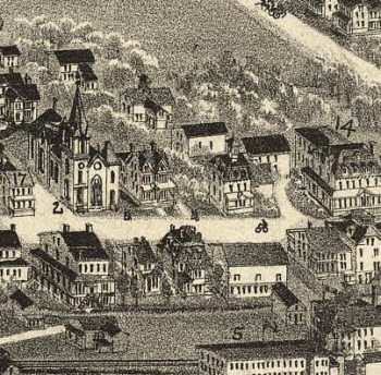
Mohnsville PA 1898
$17.95 – $47.95 -
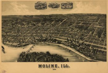
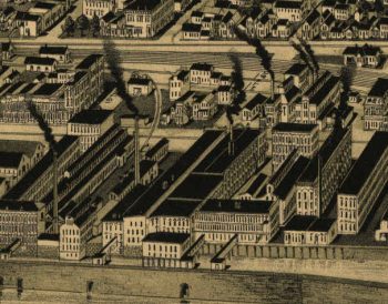
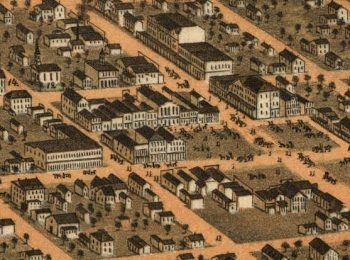
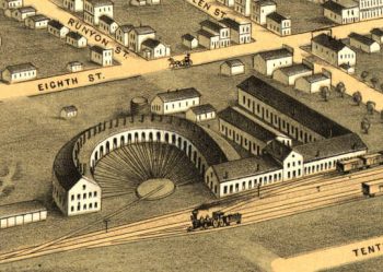
Moline Illinois in 1889
$17.95 – $47.95 -
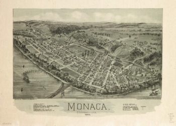
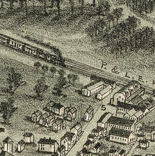
Monaca PA 1900
$17.95 – $47.95 -
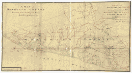
Monmouth County
$17.95 – $47.95 -
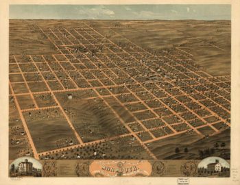
Monmouth Illinois in 1869
$17.95 – $47.95 -
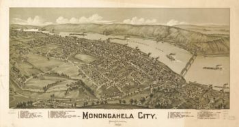
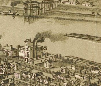
Monongahela PA 1902
$17.95 – $47.95 -
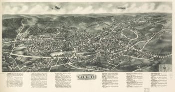
Monroe NY 1923
$17.95 – $47.95 -
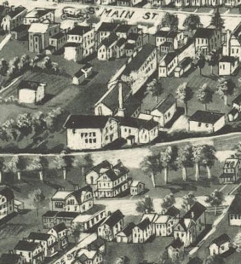
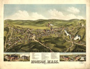
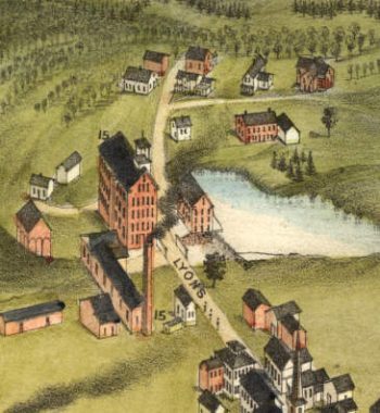
Monson Mass Color 1879
$17.95 – $47.95 -
Montana Iowa 1868
$17.95 – $47.95 -
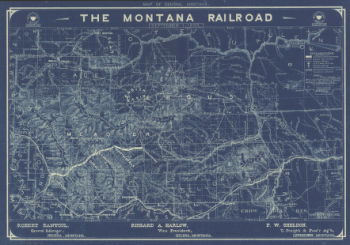
Montana Railroad
$17.95 – $47.95 -
Montevideo MN 1874
$17.95 – $47.95 -
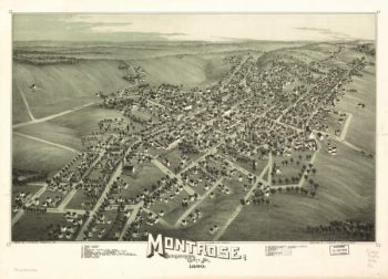
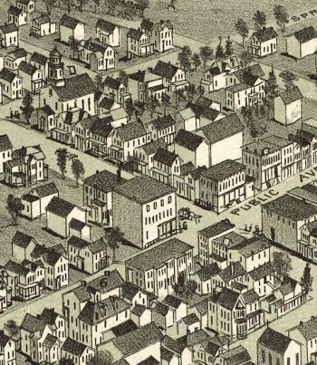
Montrose PA 1890
$17.95 – $47.95 -
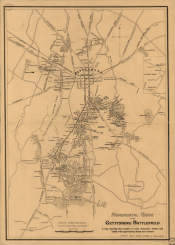
Monumental guide to the Gettysburg battlefield
$17.95 – $47.95 -
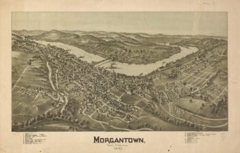
Morgantown WV 1897
$17.95 – $47.95 -
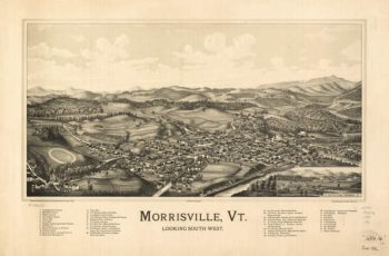
Morrisville VT 1889
$17.95 – $47.95 -
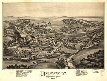
Moscow PA 1891
$17.95 – $47.95 -
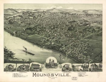
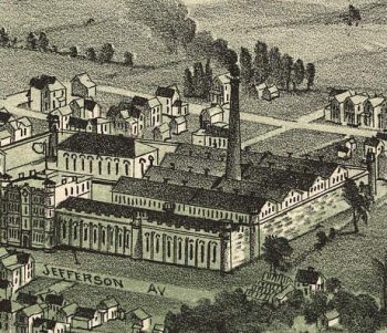
Moundsville WV 1899
$17.95 – $47.95 -
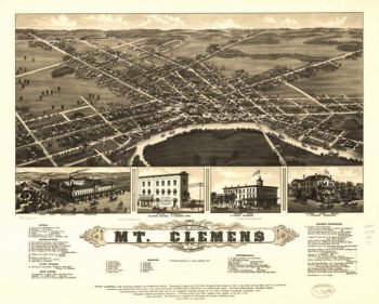
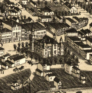
Mount Clemens MI 1881
$17.95 – $47.95 -
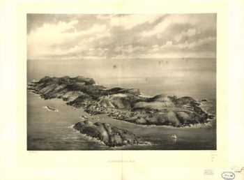
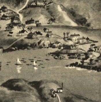
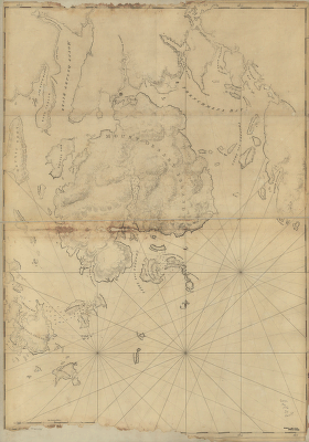
Mount Desert Island and neighboring coast of Maine
$17.95 – $47.95 -
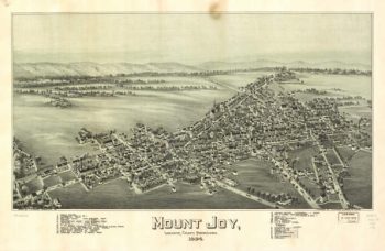
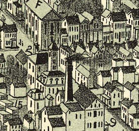
Mount Joy PA 1894
$17.95 – $47.95 -
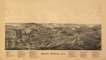
Mount Morris NY 1893
$17.95 – $47.95 -
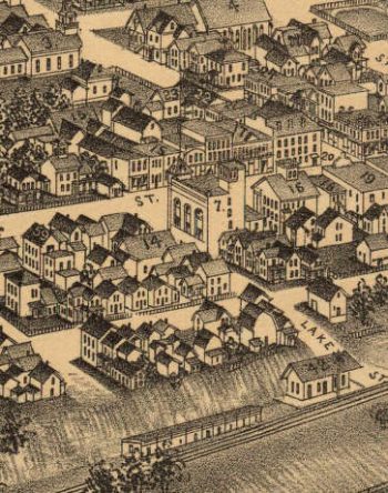
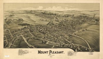
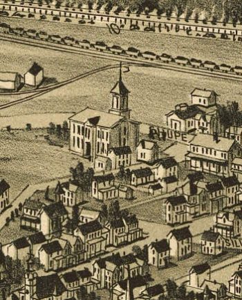
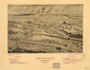
Mount Pleasant PA 1900
$17.95 – $47.95 -
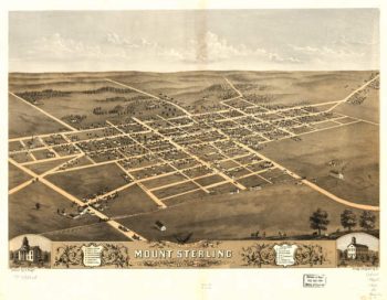
Mount Sterling lIllinois 1869
$17.95 – $47.95 -
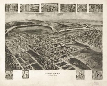
Mount Union PA 1906
$17.95 – $47.95 -
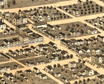
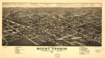
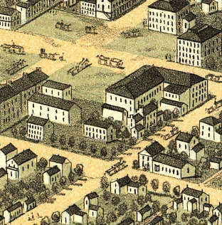
Mount Vernon lIllinois 1881
$17.95 – $47.95 -
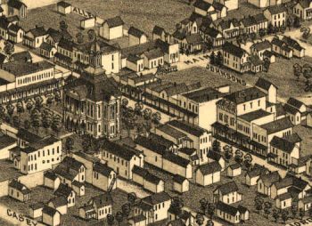
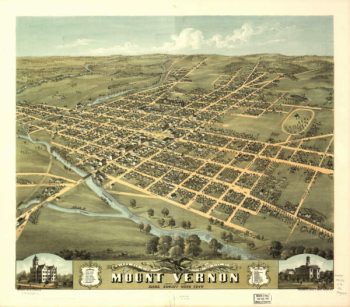
Mount Vernon OH 1870
$17.95 – $47.95 -
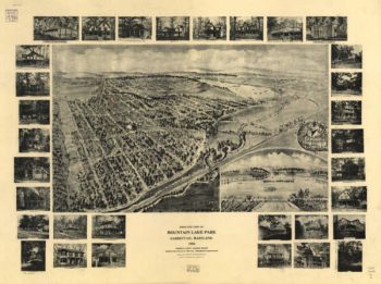
Mountain Lake Pk Maryland 1906
$17.95 – $47.95 -
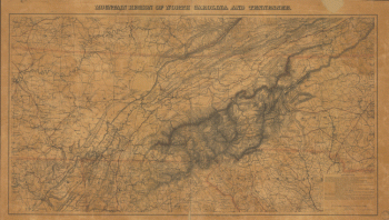
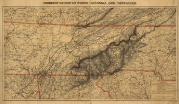
Mountain region of North Carolina and Tennessee
$17.95 – $47.95 -
Mountain region of North Carolina and Tennessee
$17.95 – $47.95 -
Mountain region of North Carolina and Tennessee
$17.95 – $47.95 -
Mountain region of North Carolina and Tennessee
$17.95 – $47.95 -
Mountain region of North Carolina and Tennessee
$17.95 – $47.95 -
Mountain region of North Carolina and Tennessee
$17.95 – $47.95 -
Mountain region of North Carolina and Tennessee
$17.95 – $47.95 -
Mountain region of North Carolina and Tennessee.
$17.95 – $47.95 -
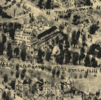
Mountville PA 1894
$17.95 – $47.95 -
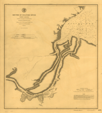
Mouths of Roanoke River, North Carolina
$17.95 – $47.95 -
Mouths of Roanoke River, North Carolina
$17.95 – $47.95 -
Mouths of Roanoke River, North Carolina
$17.95 – $47.95 -
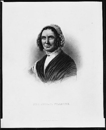
Mrs. Abigail Fillmore
$17.95 – $47.95