12" x 18"
-

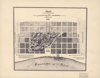
Birds eye view of the Mississippi Valley
$17.95 – $47.95 -
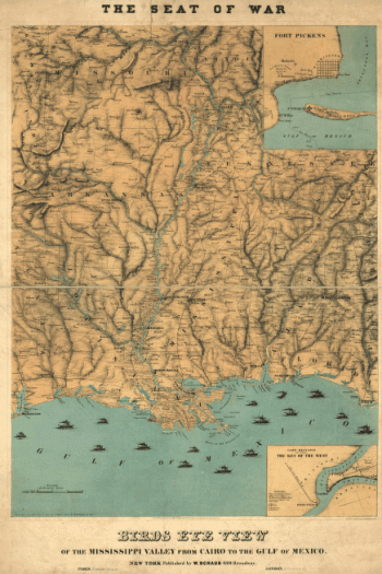
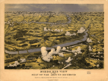
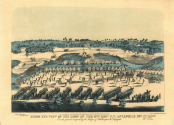
Birds eye view of the seat of war around Richmond
$17.95 – $47.95 -
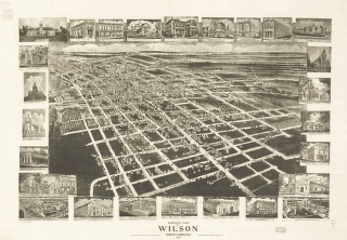
Birds eye view of Wilson, North Carolina 1908.
$17.95 – $47.95 -
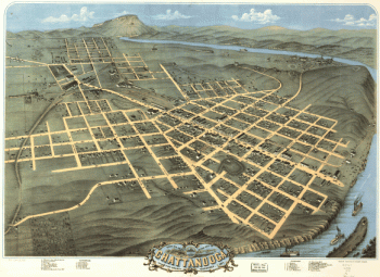
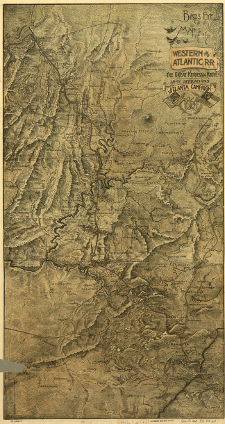
Birds-eye map of the Western and Atlantic R.R
$17.95 – $47.95 -

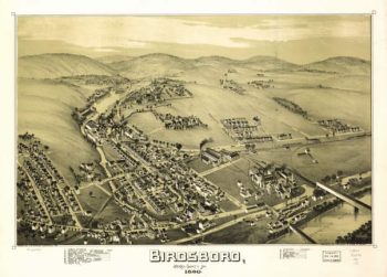
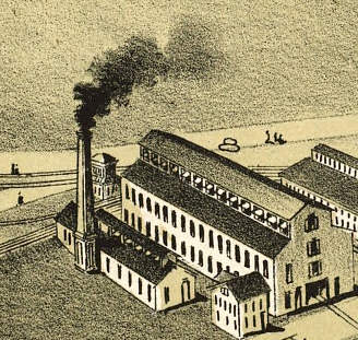
Birdsboro PA 1890
$17.95 – $47.95 -
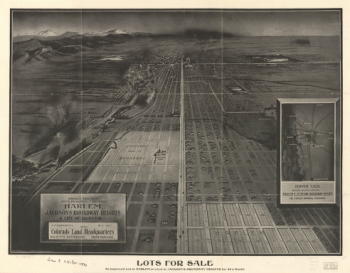
Birdseye view from South Broadway
$17.95 – $47.95 -
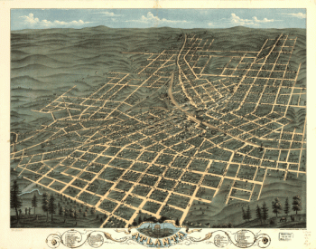
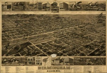
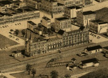
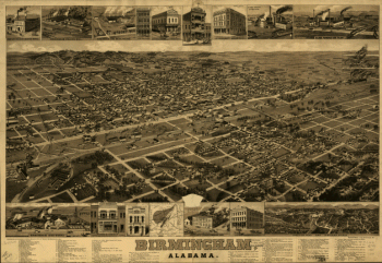
Birmingham AL in 1885
$17.95 – $47.95 -
Birmingham, Alabama. H. Wellge, del. Beck & Pauli, litho.
$17.95 – $47.95 -
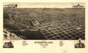
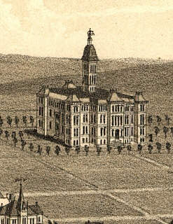
Bismarck ND 1883
$17.95 – $47.95 -
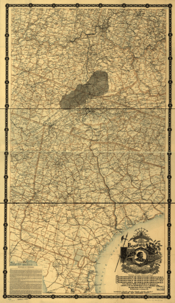
Black Diamond System
$17.95 – $47.95 -
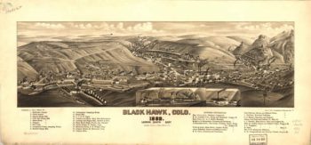
Black Hawk CO in 1882
$17.95 – $47.95 -
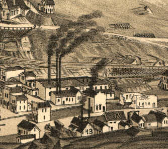
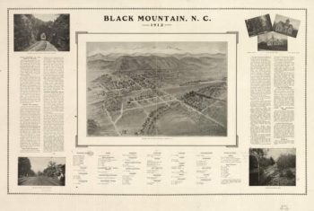
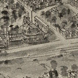
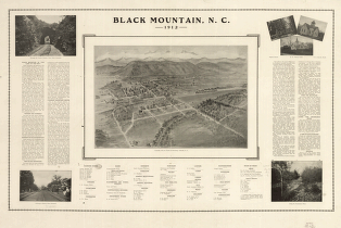
Black Mountain NC 1912
$17.95 – $47.95 -
Black Mountain, N.C. 1912.
$17.95 – $47.95 -
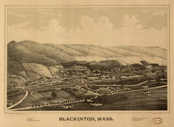
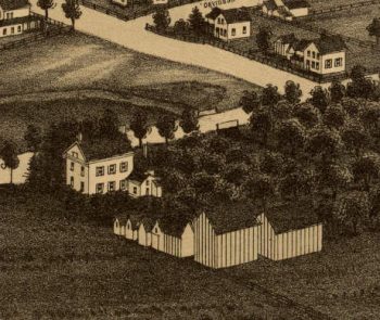
Blackington (N. Adams) MA 1889
$17.95 – $47.95 -
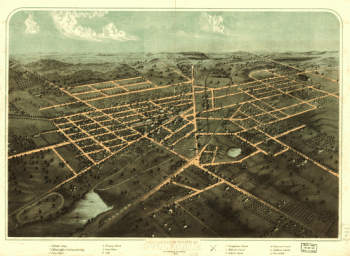
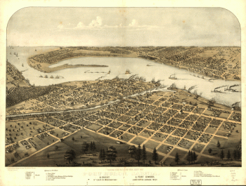
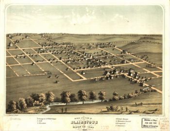
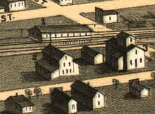
Blairstown Iowa 1868
$17.95 – $47.95 -
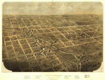
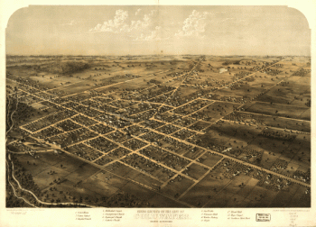
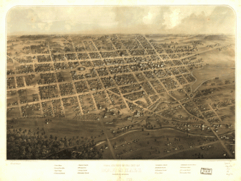
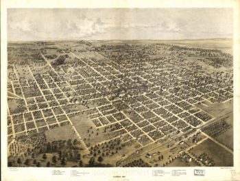
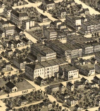
Bloomington Illinois 1867
$17.95 – $47.95 -
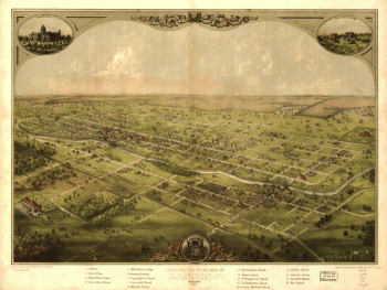
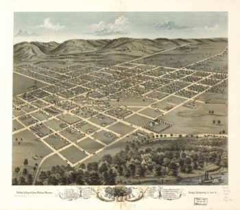
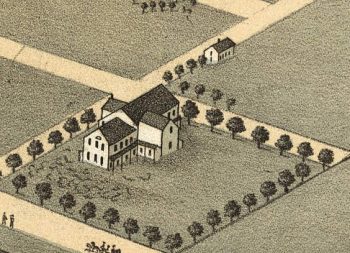
Boscobel WI 1869
$17.95 – $47.95 -
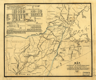
Boston & Woonsocket Railroad
$17.95 – $47.95 -
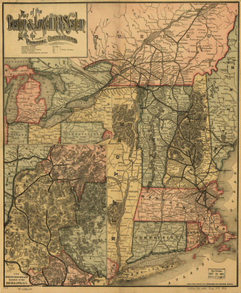
Boston and Lowell Railroad Corporation
$17.95 – $47.95 -
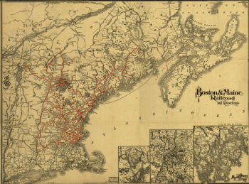
Boston and Maine Railroad
$17.95 – $47.95 -
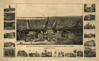
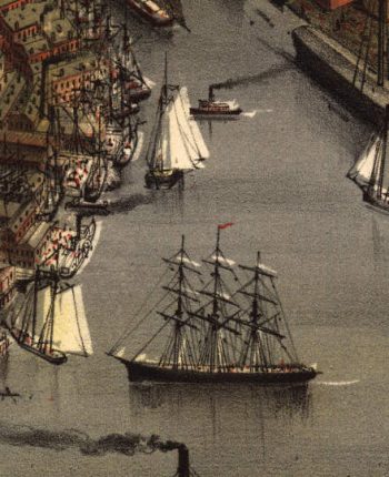
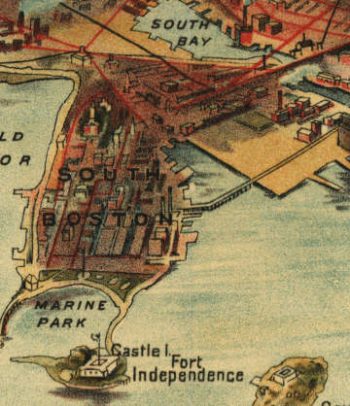
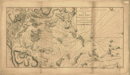
Boston Harbour, with the surroundings
$17.95 – $47.95 -
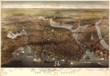
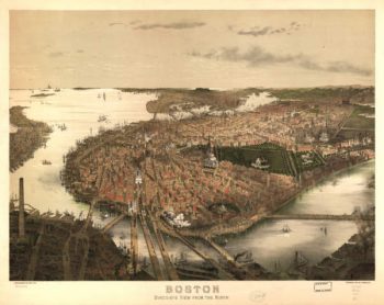
Boston MA Color 1873
$17.95 – $47.95 -
Boston MA Color 1902
$17.95 – $47.95 -
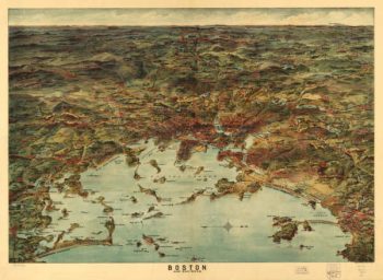
Boston MA Color 1905
$17.95 – $47.95 -
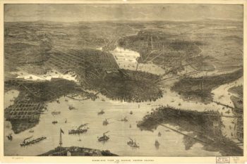
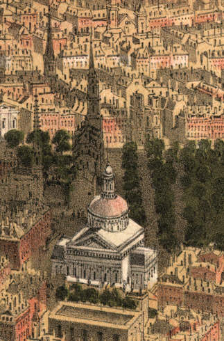
Boston Massachusetts 1870s
$17.95 – $47.95 -
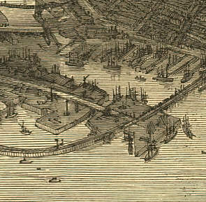
Boston Massachusetts 1877
$17.95 – $47.95 -
Boston, Hoosac Tunnel, and Western Railway
$17.95 – $47.95 -
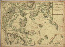
Boston, its environs and harbour
$17.95 – $47.95 -
Boston, its environs and harbour
$17.95 – $47.95 -
Boston, S West part No 25
$17.95 – $47.95