-

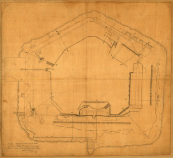
Plan of Fort Sumter, South Carolina : surveyed, March 20th, 22, 27, 1865
Price range: $39.95 through $69.95 -
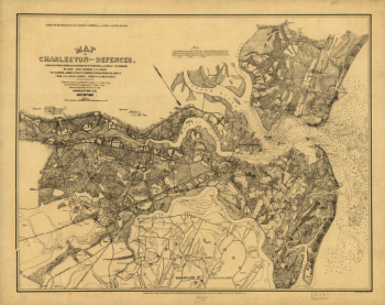
Map of Charleston and its defences
Price range: $39.95 through $69.95 -
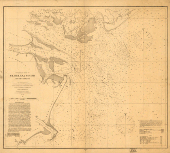
Preliminary chart of St. Helena Sound, South Carolina
Price range: $39.95 through $69.95 -
Sketch showing position of besieging batteries. [Fort Sumter] April 12-13, 1861 Bowen & Co., lith., Phila.
Price range: $39.95 through $69.95 -
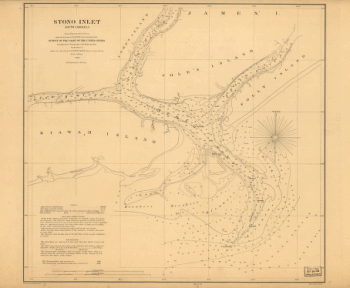
Stono Inlet, South Carolina
Price range: $39.95 through $69.95 -
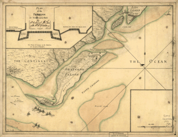
A plan of the attack of Fort Sulivan, near Charles Town in South Carolina by a squadron of His Majesty's ships on the 28th day of June 1776
Price range: $39.95 through $69.95 -
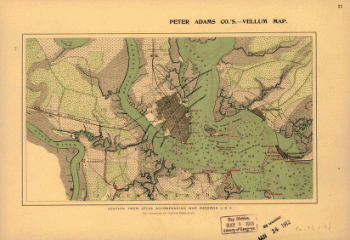
Fort Sumter, South Carolina
Price range: $39.95 through $69.95 -
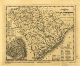
South Carolina with its canals, roads & distances from place to place along the stage & steam boat routes
Price range: $39.95 through $69.95 -
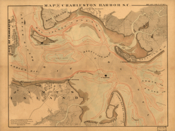
Charleston Harbor
Price range: $39.95 through $69.95 -
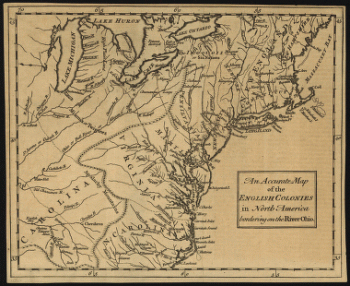
An accurate map of the English colonies in North America, bordering on the river Ohio.
Price range: $39.95 through $69.95 -
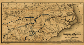
Seaboard & Raleigh Railroad and its connections
Price range: $39.95 through $69.95 -
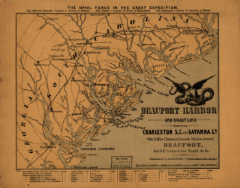
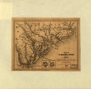
St. Helena Sound, and the coast between Charleston and Savannah
Price range: $39.95 through $69.95 -
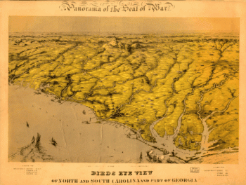
Birds eye view of North and South Carolina and part of Georgia
Price range: $39.95 through $69.95 -
Charleston Harbor, S.C.
Price range: $39.95 through $69.95 -
Route of marches of the army of Genl. W. T. Sherman, from Atlanta, Ga. to Goldsboro, N.C. [1861-65]
Price range: $39.95 through $69.95 -
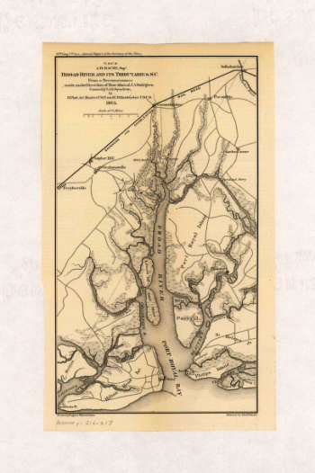
Broad River and its tributaries, S.C.
Price range: $39.95 through $69.95 -
British and French settlements in North America
Price range: $39.95 through $69.95 -
South Carolina railroads
Price range: $39.95 through $69.95 -
Part of South Carolina and Georgia
Price range: $39.95 through $69.95 -
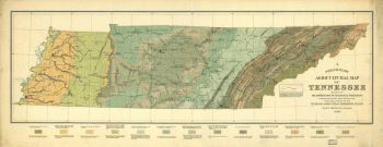
A preliminary agricultural map of Tennessee based on the distribution of geological formations
Price range: $39.95 through $69.95 -
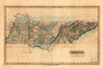
Tennessee
Price range: $39.95 through $69.95 -
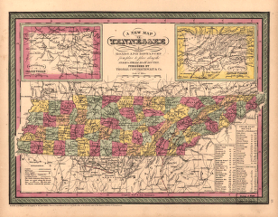
A new map of Tennessee
Price range: $39.95 through $69.95 -
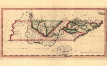
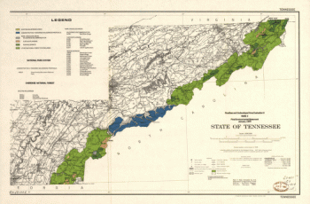
The state of Tennessee
Price range: $39.95 through $69.95 -
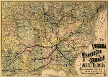
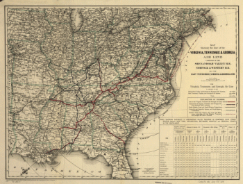
The Virginia, Tennessee, and Georgia Air Line
Price range: $39.95 through $69.95 -
Geological map of Tennessee
Price range: $39.95 through $69.95 -
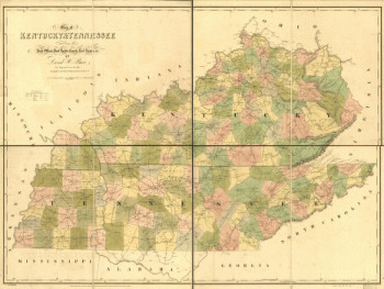
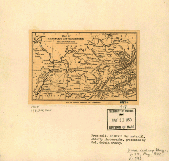
Map of Kentucky and Tennessee.
Price range: $39.95 through $69.95 -
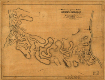
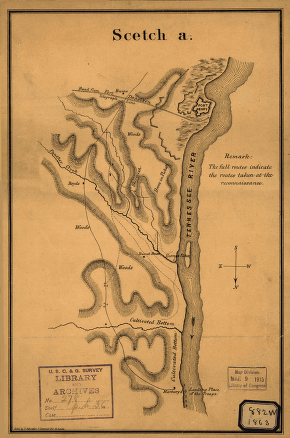
The relative positions of Fort Henry and Fort Donelson : with the roads connecting the two places
Price range: $39.95 through $69.95 -
Line of the Virginia, Tennessee, & Georgia Air Line
Price range: $39.95 through $69.95 -
State of Tennessee, roadless and undeveloped area evaluation II, RARE II final environmental statement : January 1979
Price range: $39.95 through $69.95 -
Map of Fort Henry, Tennessee, and environs
Price range: $39.95 through $69.95 -
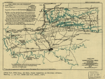
Vicinity map of the suggested Cove Creek Reservoir.
Price range: $39.95 through $69.95 -
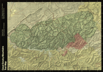
Great Smoky Mountains National Park, North Carolina/Tennessee, trail map
Price range: $39.95 through $69.95 -
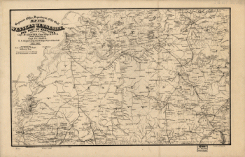
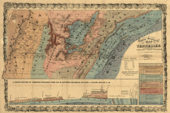
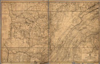
Military map of middle Tennessee and parts of East Tennessee and the adjoining states
Price range: $39.95 through $69.95 -
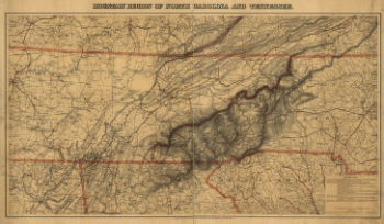
Mountain region of North Carolina and Tennessee, compiled by W. L. Nicholson & A. Lindenkohl, with corrections to January 1865
Price range: $39.95 through $69.95 -
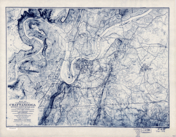
Chattanooga and surrounding battlefields [By Reginald] Purse.
Price range: $39.95 through $69.95 -
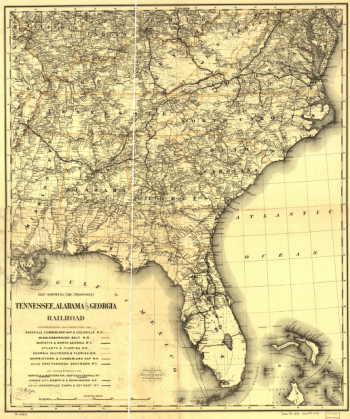
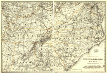
Map showing the proposed Tennessee, Alabama, and Georgia Railroad.
Price range: $39.95 through $69.95 -
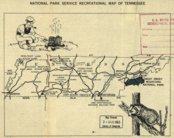
National Park Service recreational map of Tennessee
Price range: $39.95 through $69.95 -
Kentucky & Tennessee exhitibing the post offices, post roads, canals, rail roads
Price range: $39.95 through $69.95 -
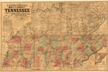
Lloyd's official map of the State of Tennessee
Price range: $39.95 through $69.95 -
Tennessee, Alabama, and Georgia Railroad
Price range: $39.95 through $69.95 -
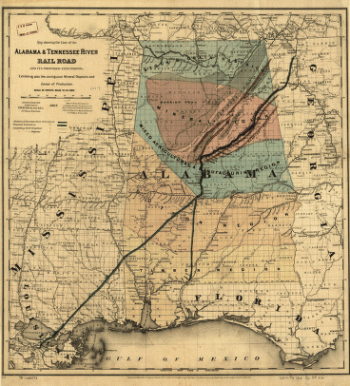
Alabama & Tennessee River Rail Road and its proposed extensions
Price range: $39.95 through $69.95 -
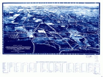
Aero view of Chickamauga and Chattanooga National Military Park (looking east)
Price range: $39.95 through $69.95 -
Battlefields of Chattanooga, movement against Orchard Knob
Price range: $39.95 through $69.95 -
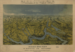
Birds eye view of Kentucky and Tennessee showing Cairo and part of the southern states
Price range: $39.95 through $69.95 -
Western Tennessee, and part of Kentucky
Price range: $39.95 through $69.95 -
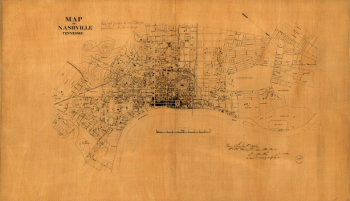
Nashville, Tennessee
Price range: $39.95 through $69.95 -
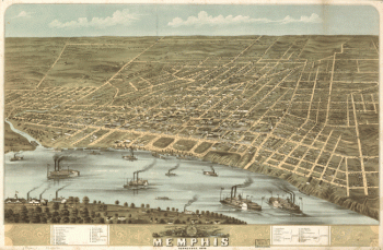
Bird's eye view of the city of Memphis, Tennessee 1870
Price range: $39.95 through $69.95
![Sketch showing position of besieging batteries. [Fort Sumter] April 12-13, 1861 Bowen & Co., lith., Phila.](https://www.ushistoricalarchive.com/wp-content/uploads/nc/data/products/im/sm/sc/b45.gif)

![Route of marches of the army of Genl. W. T. Sherman, from Atlanta, Ga. to Goldsboro, N.C. [1861-65]](https://www.ushistoricalarchive.com/wp-content/uploads/nc/data/products/im/sm/sc/b65-350x226.gif)


![Chattanooga and surrounding battlefields [By Reginald] Purse.](https://www.ushistoricalarchive.com/wp-content/uploads/nc/data/products/im/sm/tn/b26-350x146.gif)