Virginia
-

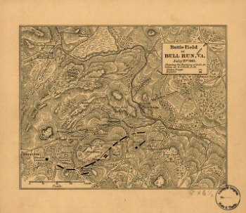
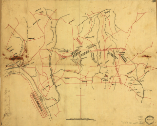
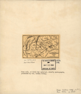
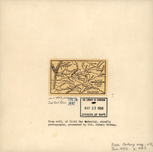
Battle field of Bull Run – July 21st 1861
$17.95 – $47.95 -
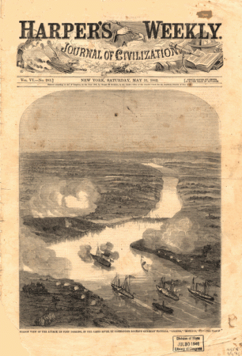
Balloon view of the attack on Fort Darling in the James River
$17.95 – $47.95 -
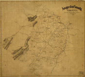
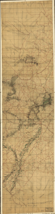
Augusta County, Virginia
$17.95 – $47.95 -
Augusta County, Va
$17.95 – $47.95 -
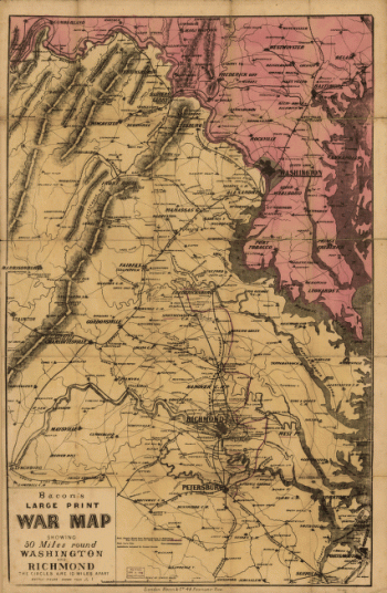
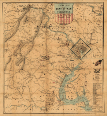
Army map of the seat of war in Virginia
$17.95 – $47.95 -
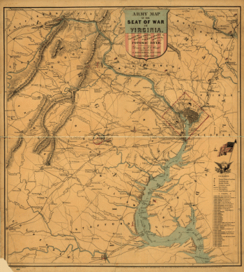
Army map of the seat of war in Virginia
$17.95 – $47.95 -
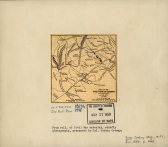
Approaches of A. of P. to Fredericksburg
$17.95 – $47.95 -
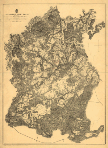
Appomattox Court House
$17.95 – $47.95 -
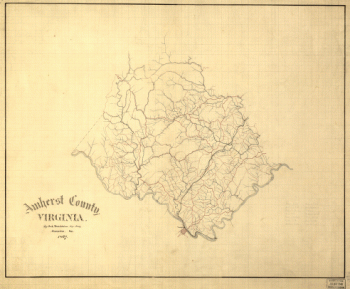
Amherst County, Virginia
$17.95 – $47.95 -
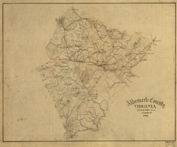
Albemarle County, Virginia
$17.95 – $47.95 -
2nd Manassas Campaign
$17.95 – $47.95 -
2nd Manassas Campaign
$17.95 – $47.95 -
2nd Manassas campaign
$17.95 – $47.95