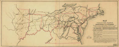
Map of the projected railway from Harrisburg to Pittsburg [sic], with proposed extension to Cleveland, Wooster, Sandusky, Toledo, Cincinnati; Michigan City, Chicago, Galena, Rock Island, St. Louis, &a; in connection with the public works of Pennsylvania, Ohio, Indiana and Illinois. Covers area between Massachusetts and Virginia and west to the Mississippi River. Shows “finished” and “proposed” railroads. A mileage chart entitled “Rail Road Routes from Seaboard to the Interior” appears at lower right of map


