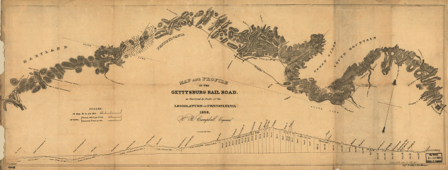
Map and profile of the Gettysburg Rail Road as surveyed by order of the legislature of Pennsylvania, 1839. Survey map and profile of part of Pennsylvania and Maryland from Gettysburg to the Potomac River. Shows relief by hachures along the line, creeks, roads, cities and towns. Chartered on January 9, 1838; constructed December 1, 1858. Campbell, Henry R. CREATED/PUBLISHED Philadelphia, 1839. Scale 1:80,000.


