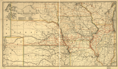
Chicago, Burlington & Quincy R.R. and intersecting lines, 1883. Map of the midwestern states showing relief by hachures, drainage, cities and towns, and the railroad network coded in color with the main line emphasized. Rand McNally and Company. CREATED/PUBLISHED [Chicago, 1883] Scale ca. 1:500,000.


