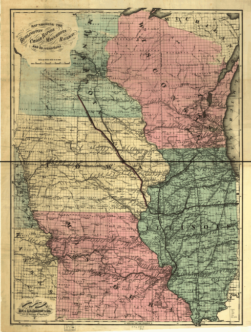
Map showing the Burlington Cedar Rapids and Minnesota Railway and its connections. Map of the midwestern states showing drainage, cities and towns, administrative boundaries, and the railroad network with emphasis on the main line. Consolidated June 30, 1868, from Cedar Rapids and Burlington and the Cedar Rapids and St. Paul. G.W. & C.B. Colton & Co. CREATED/PUBLISHED New York, 1868. Scale 1:1,267,200.


