12" x 18"
-

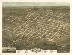
Bird's eye view of the city of Raleigh, North Carolina 1872.
$17.95 – $47.95 -
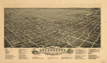
Bird's eye view of the city of Greensboro, North Carolina. 1891.
$17.95 – $47.95 -
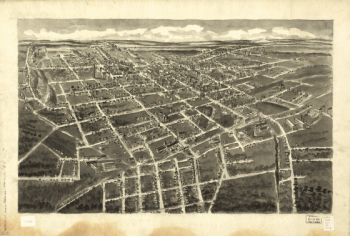
Bird's-eye-view of Statesville, North Carolina,
$17.95 – $47.95 -
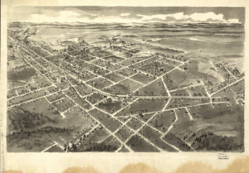
Bird's-eye-view of Hickory, North Carolina.
$17.95 – $47.95 -
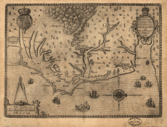
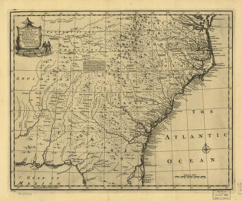
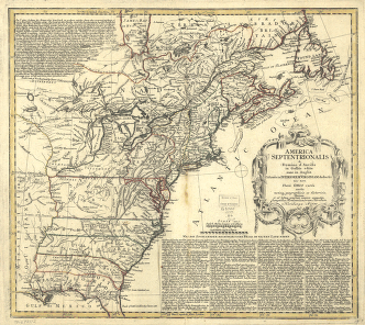
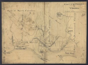
Part of the Province of Virginia.
$17.95 – $47.95 -
Americæ pars, nunc Virginia dicta : primum ab Anglis inuenta
$17.95 – $47.95 -
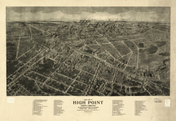
Aero view of High Point, North Carolina by J. J. Farris.
$17.95 – $47.95 -
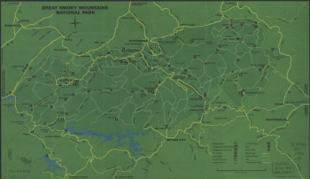
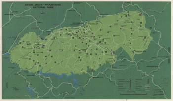
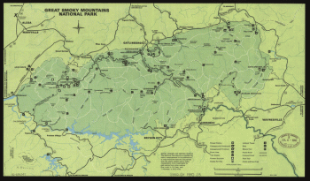
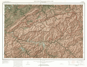
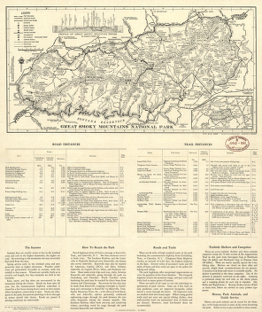
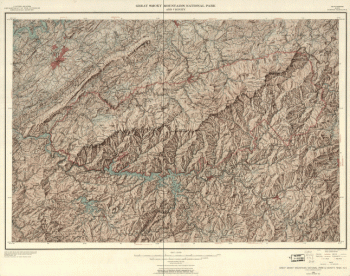
Great Smoky Mountains National Park. 1971.
$17.95 – $47.95 -
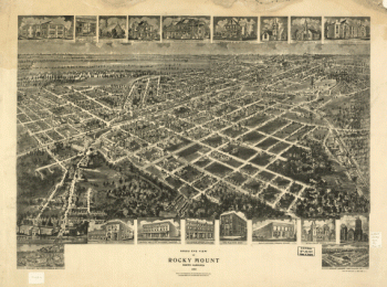
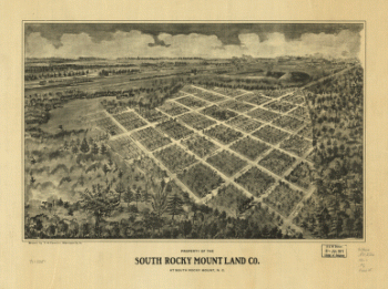
Bird's eye view of Rocky Mount, North Carolina 1907.
$17.95 – $47.95 -
Great Smoky Mountains National Park. 1971.
$17.95 – $47.95 -
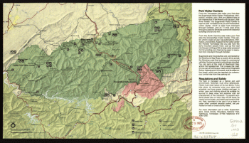
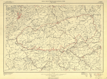
Great Smoky Mountains National Park, North Carolina/Tennessee
$17.95 – $47.95 -
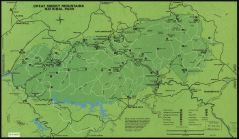
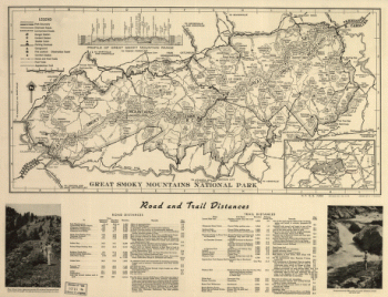
Great Smoky Mountains National Park
$17.95 – $47.95 -
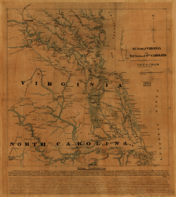
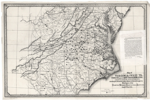
S.E. portion of Virginia and N.E. portion of N'th Carolina
$17.95 – $47.95 -
Great Smoky Mountains National Park, North Carolina/Tennessee
$17.95 – $47.95 -
Great Smoky Mountains National Park, North Carolina/Tennessee
$17.95 – $47.95 -
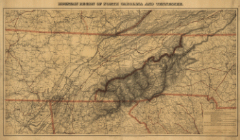
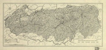
Mountain region of North Carolina and Tennessee
$17.95 – $47.95 -
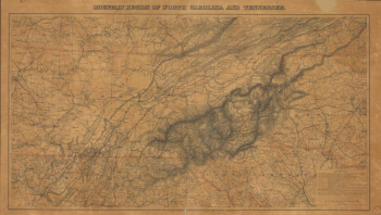
Mountain region of North Carolina and Tennessee.
$17.95 – $47.95 -
Great Smoky Mountains National Park and vicinity
$17.95 – $47.95 -
Great Smoky Mountains National Park
$17.95 – $47.95 -
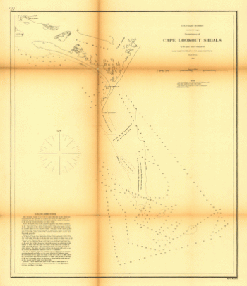
Reconnoissance of Cape Lookout shoals by the party
$17.95 – $47.95 -
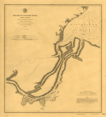
Mouths of Roanoke River, North Carolina
$17.95 – $47.95 -
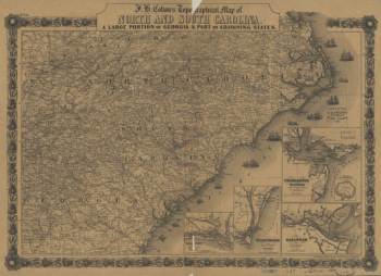
J. H. Colton's topographical map of North and South Carolina
$17.95 – $47.95 -
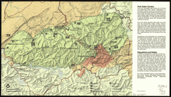
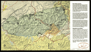
Great Smoky Mountains National Park.
$17.95 – $47.95 -
Great Smoky Mountains National Park.
$17.95 – $47.95 -
Great Smoky Mountains National Park and vicinity.
$17.95 – $47.95 -
Great Smoky Mountains National Park.
$17.95 – $47.95 -
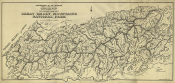
Preliminary base map, Great Smoky Mountains National Park.
$17.95 – $47.95 -
Great Smoky Mountains National Park and vicinity.
$17.95 – $47.95 -
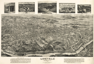
Asheville, Buncombe Co. N.C. 1912.
$17.95 – $47.95 -
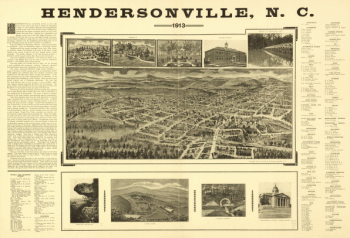
Hendersonville, N.C. 1913.
$17.95 – $47.95 -
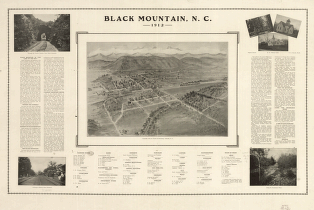
Black Mountain, N.C. 1912.
$17.95 – $47.95 -
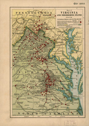
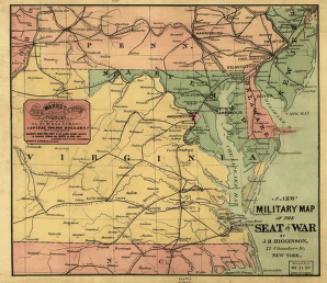
A new military map of the seat of war by J.H. Higginson.
$17.95 – $47.95 -
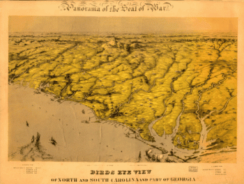
Birds eye view of North and South Carolina and part of Georgia.
$17.95 – $47.95 -
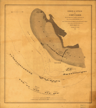
Attack on Fort Fisher
$17.95 – $47.95 -
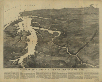
Interesting Bird's eye view of the seat of war
$17.95 – $47.95
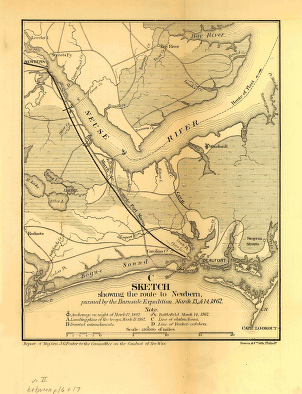
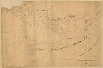
![Sketch showing route of the Burnside expedition [to Roanoke Island, N.C., February 6, 1862]](https://www.ushistoricalarchive.com/wp-content/uploads/nc/data/products/im/sm/nc/b46-350x765.gif)