12" x 18"
-


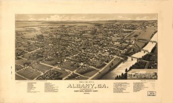
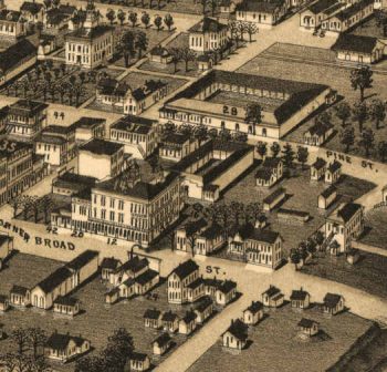
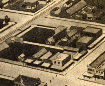
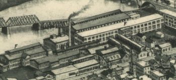
Albany Georgia in 1885
$17.95 – $47.95 -
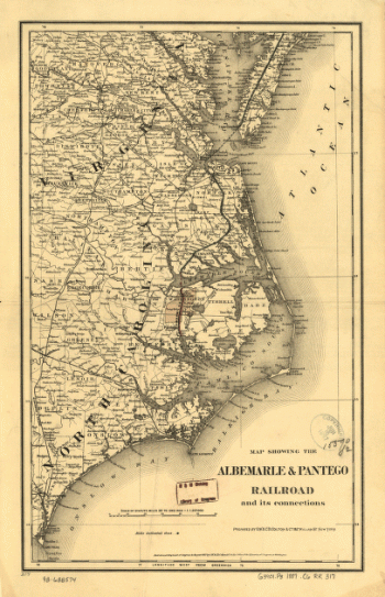
Albemarle and Pantego Railroad
$17.95 – $47.95 -
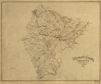
Albemarle County, Virginia
$17.95 – $47.95 -
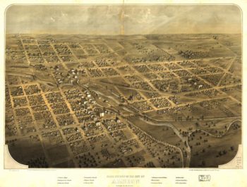
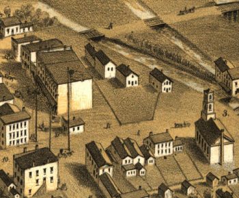
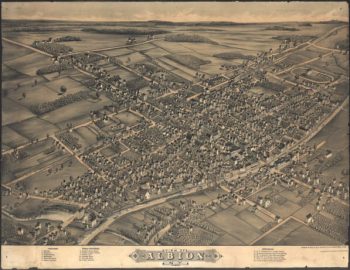
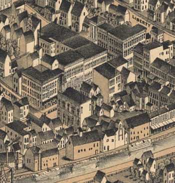
Albion MI 1868
$17.95 – $47.95 -
Albion NY 1880
$17.95 – $47.95 -
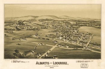
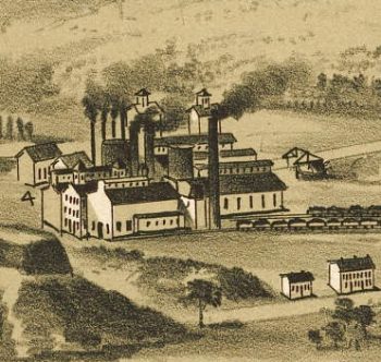
Alburtis / Lockridge PA 1893
$17.95 – $47.95 -
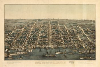
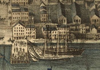
Alexandria VA 1863
$17.95 – $47.95 -
Alexandria VA 1890's
$17.95 – $47.95 -
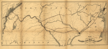
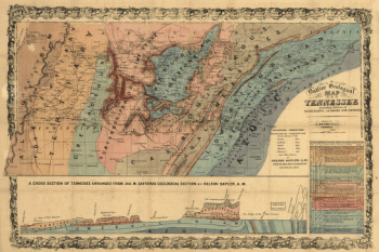
Allegheny Railroad and Coal Company
$17.95 – $47.95 -
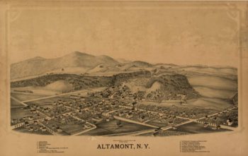
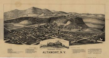
Altamont NY 1889
$17.95 – $47.95 -
Altamont NY 1890
$17.95 – $47.95 -
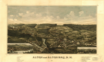
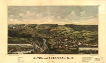
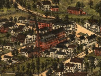
Alton Bay NH Color 1888
$17.95 – $47.95 -
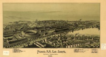
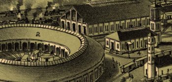
Altoona PA 1895
$17.95 – $47.95 -
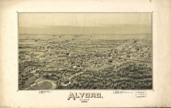
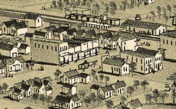
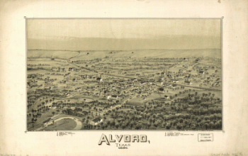
Alvord TX 1890
$17.95 – $47.95 -
Alvord, Texas
$17.95 – $47.95 -
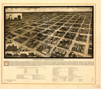
Amarillo TX 1912
$17.95 – $47.95 -
Amboy to Elizabethtown
$17.95 – $47.95 -
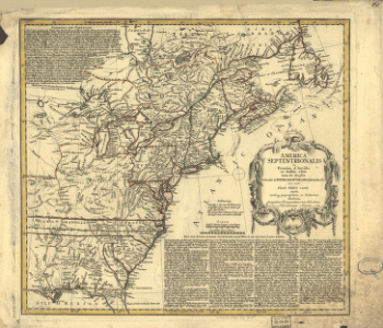
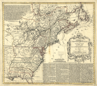
America septentrionalis oder Mitternächtiger Theil von America
$17.95 – $47.95 -
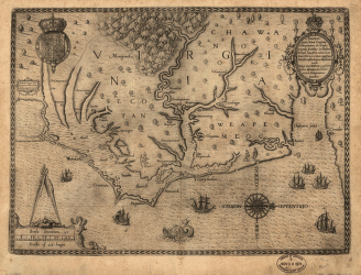
Americæ pars, nunc Virginia dicta : primum ab Anglis inuenta
$17.95 – $47.95 -
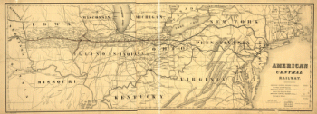
American Central Railway, 1866
$17.95 – $47.95 -
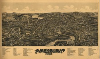
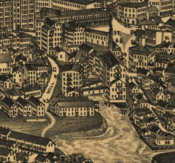
Amesbury Massachusetts 1890
$17.95 – $47.95 -
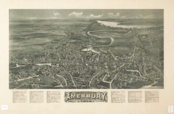
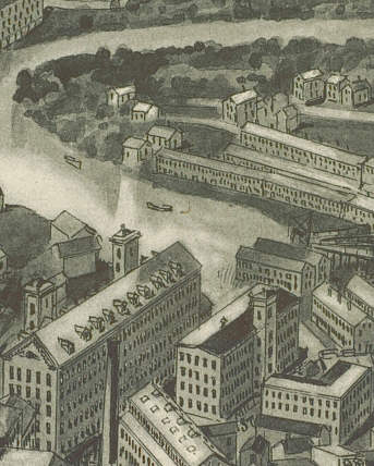
Amesbury Massachusetts 1914
$17.95 – $47.95 -
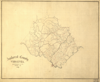
Amherst County, Virginia
$17.95 – $47.95 -
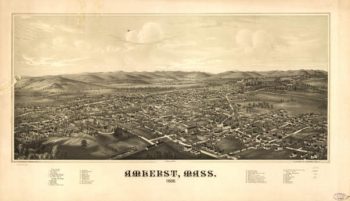
Amherst Massachusetts 1886
$17.95 – $47.95 -
Amplissima regionis Mississipi seu provinciæ Ludovicianæ â R.P.
$17.95 – $47.95 -
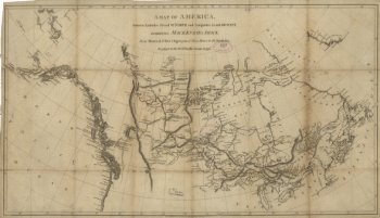
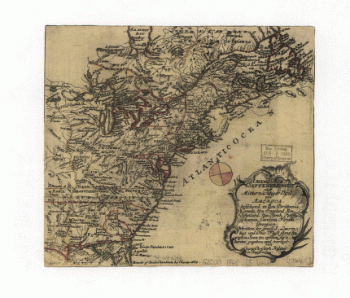
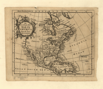
An Accurate map of North America from the latest discoveries
$17.95 – $47.95 -
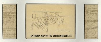
An Indian map of the Upper-Missouri
$17.95 – $47.95 -
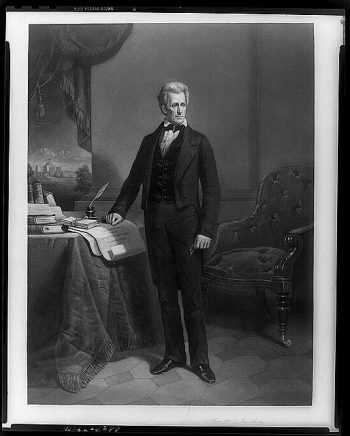
Andrew Jackson
$17.95 – $47.95 -
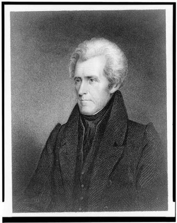
Andrew Jackson
$17.95 – $47.95 -
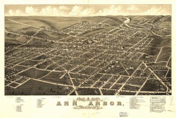
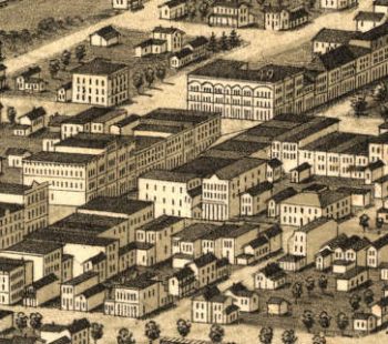
Ann Arbor MI 1880
$17.95 – $47.95 -
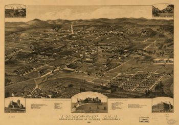
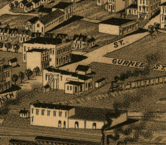
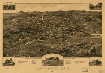
Anniston AL in 1887
$17.95 – $47.95 -
Anniston, Ala. 1887. Beck & Pauli Lith. Co.
$17.95 – $47.95 -
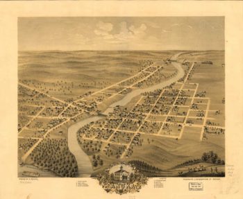
Anoka MN 1869
$17.95 – $47.95 -
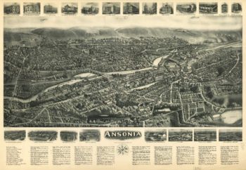
Ansonia CT in 1921
$17.95 – $47.95 -
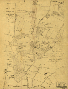
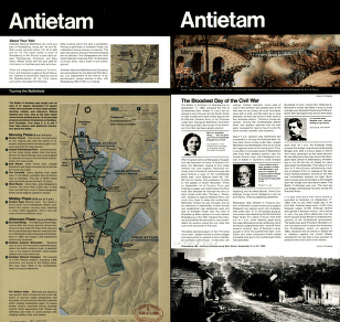
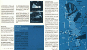
Antietam
$17.95 – $47.95 -
Antietam
$17.95 – $47.95 -
Antietam Battlefield
$17.95 – $47.95