Map showing the Albemarle & Pantego Railroad and its connections. Map of the coastal regions of Virginia and North Carolina showing drainage, counties, cities and towns, and mills; main railroads in heavy lines. G.W. & C.B. Colton & Co. CREATED/PUBLISHED [New York], c1887. Scale 1:1,267,000.
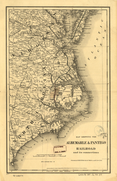
Albemarle and Pantego Railroad
Price range: $39.95 through $69.95
SKU: rrac2
Related products
-

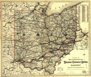
Wheeling and Cincinnati Mineral Railway
Price range: $39.95 through $69.95 -
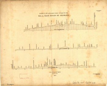
Western and Atlantic Railroad Company
Price range: $39.95 through $69.95 -
Western and Atlantic Railroad Company
Price range: $39.95 through $69.95 -
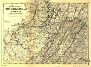
West Virginia Midland Railroad
Price range: $39.95 through $69.95