12" x 18"
-

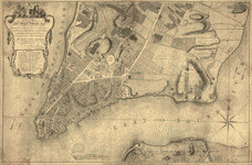
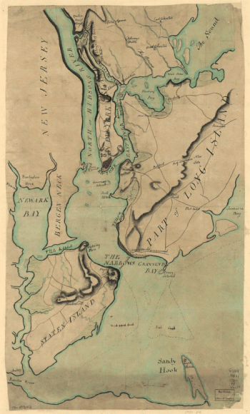
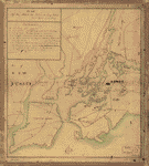
Plan of New York and Staten Islands with part of Long Island.
$17.95 – $47.95 -
Plan of New York and Staten Islands with part of Long Island.
$17.95 – $47.95 -
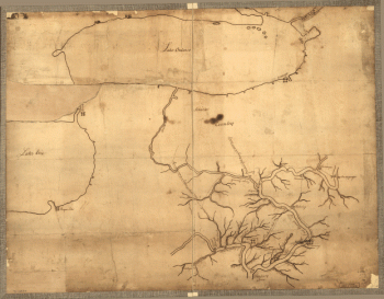
Plan of part of the River Delaware from Chester to Philadelphia
$17.95 – $47.95 -
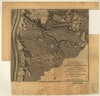
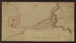
Plan of part of western front
$17.95 – $47.95 -
Plan of part of western front
$17.95 – $47.95 -
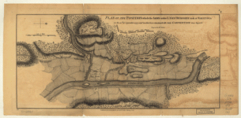
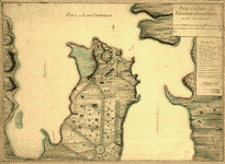
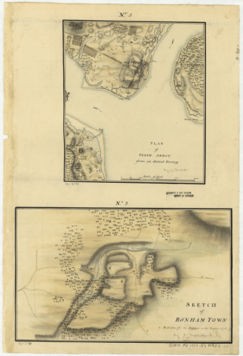
Plan of Perth Amboy from an actual survey
$17.95 – $47.95 -
Plan of Perth Amboy from an actual survey. Sketch of Bonham Town
$17.95 – $47.95 -
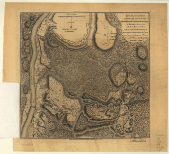
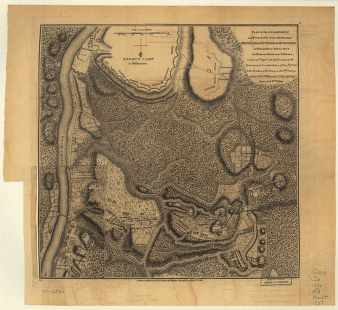
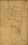
Plan of Princeton, Dec 31, 1776
$17.95 – $47.95 -
Plan of Princeton, Dec. 31, 1776.
$17.95 – $47.95 -
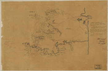
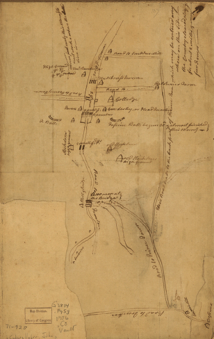
Plan of the 'Neck' and fortifications
$17.95 – $47.95 -
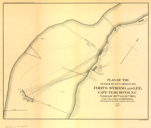
Plan of the attack by gun-boats on Forts Strong and Lee
$17.95 – $47.95 -
Plan of the attack on Fort William Henry and Ticonderoga
$17.95 – $47.95 -
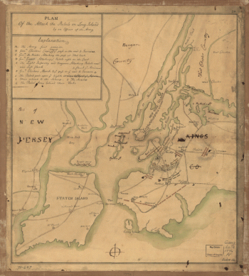
Plan of the attack the rebels on Long Island
$17.95 – $47.95 -
Plan of the battle of August 5, 1864. [Mobile Bay]
$17.95 – $47.95 -
Plan of the battle of August 5, 1864. [Mobile Bay]
$17.95 – $47.95 -
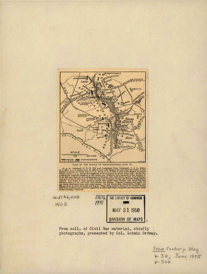
Plan of the battle of Mechanicsville – June 26, 1862
$17.95 – $47.95 -
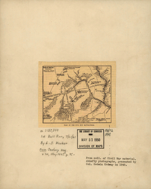
Plan of the Bull Run battle-field
$17.95 – $47.95 -
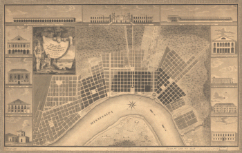
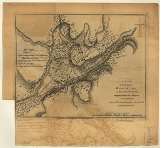
Plan of the city and suburbs of New Orleans
$17.95 – $47.95 -
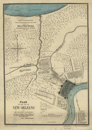
Plan of the City of New Orleans and adjacent plantations
$17.95 – $47.95 -
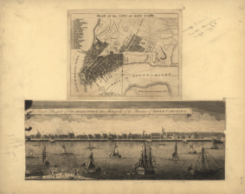
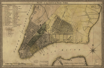
Plan of the city of New York
$17.95 – $47.95 -
Plan of the city of New York
$17.95 – $47.95 -
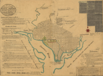
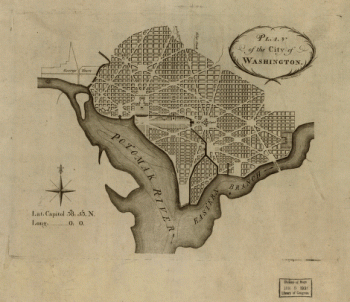
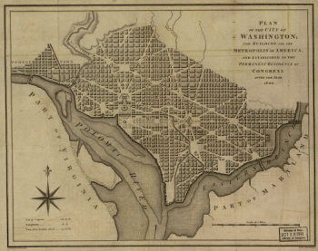
Plan of the city of Washington
$17.95 – $47.95 -
Plan of the city of Washington
$17.95 – $47.95 -
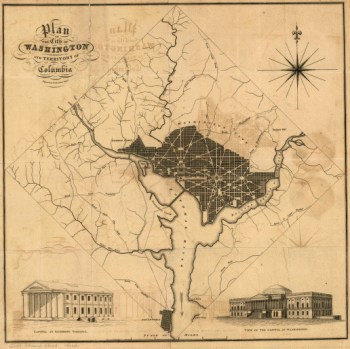
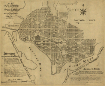
Plan of the city of Washington in the territory of Columbia
$17.95 – $47.95 -
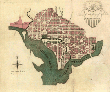
Plan of the city of Washington.
$17.95 – $47.95 -
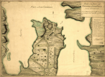
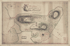
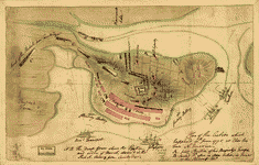
Plan of the fort and fortress at Crown Point with their environs
$17.95 – $47.95 -
Plan of the fort and fortress at Crown Point with their environs
$17.95 – $47.95 -
Plan of the fort and fortress at Crown Point with their environs
$17.95 – $47.95 -
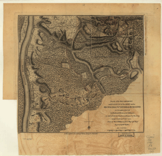
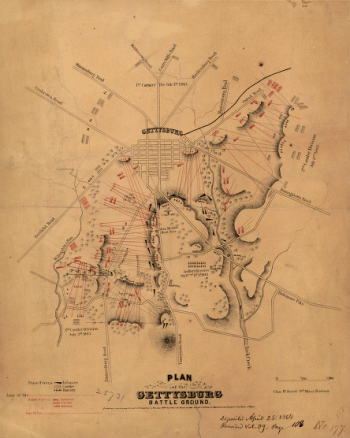
Plan of the Gettysburg battle ground
$17.95 – $47.95 -
Plan of the heights of Charles Town
$17.95 – $47.95 -
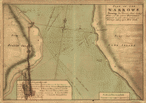
Plan of The Narrows
$17.95 – $47.95


![Plan of the battle of August 5, 1864. [Mobile Bay]](https://www.ushistoricalarchive.com/wp-content/uploads/nc/data/products/im/sm/al/b25-350x264.gif)
![Plan of the battle of August 5, 1864. [Mobile Bay]](https://www.ushistoricalarchive.com/wp-content/uploads/nc/data/products/im/cw/al/b4-350x264.gif)