12" x 18"
-

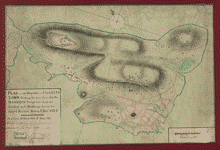
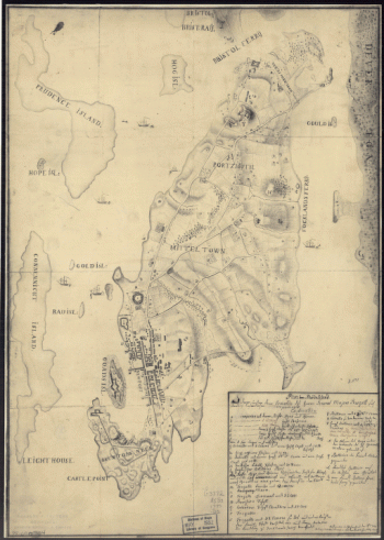
Plan of the Neck and environs
$17.95 – $47.95 -
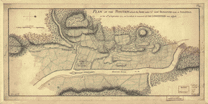
Plan of the peninsula of Charles Town
$17.95 – $47.95 -
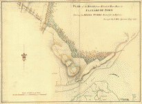
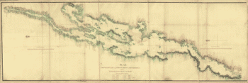
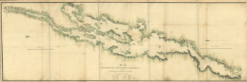
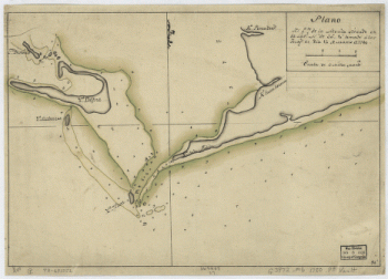
Plan of the road from Elizabeth Town Point to Elizabeth Town
$17.95 – $47.95 -
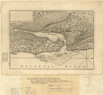
Plan of the town and harbour of St Augustine
$17.95 – $47.95 -
Plan of the town with the attack on Bunkers-Hill
$17.95 – $47.95 -
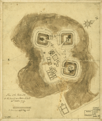
Plan showing the defences of the fort on Red River
$17.95 – $47.95 -
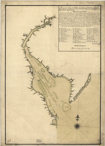
Plan, Lake Champlain from Fort St John's to Ticonderoga
$17.95 – $47.95 -
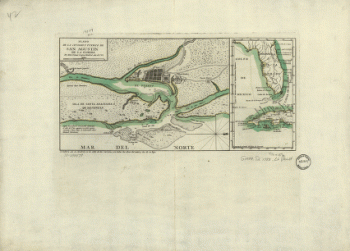
Plano de la Bahia de la Ware y entrada de Filadelfie
$17.95 – $47.95 -
Plano de la ciudad y puerto de San Agustin de la Florida
$17.95 – $47.95 -
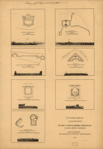
Plans & views of Rebel defences, coast of South Carolina
$17.95 – $47.95 -

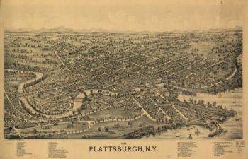
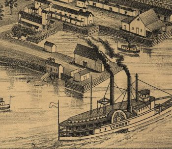
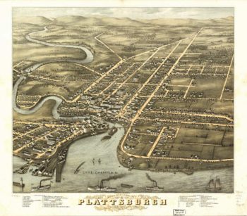
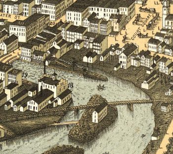
Plattsburgh NY 1899
$17.95 – $47.95 -
Plattsburgh NY Color 1877
$17.95 – $47.95 -
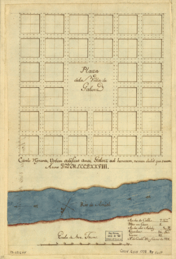
Plaza de la villa de Galvez.
$17.95 – $47.95 -
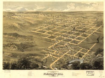
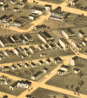
Pleasant Hill MO 1869
$17.95 – $47.95 -
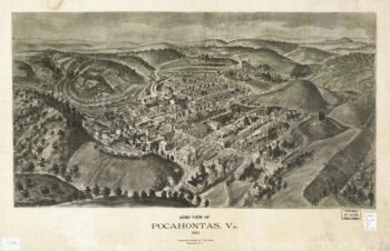
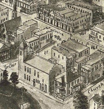
Pocahontas VA 1911
$17.95 – $47.95 -
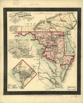
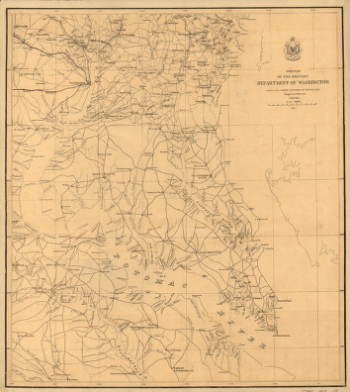
Pocket map showing the probable theatre of the war
$17.95 – $47.95 -

Pocket war map of Virginia
$17.95 – $47.95 -
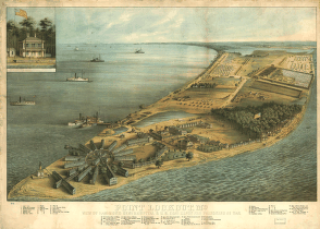
Point Lookout, Md. View of Hammond Genl. Hospital & U.S. genl.
$17.95 – $47.95 -
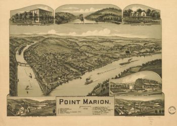
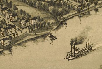
Point Marion PA 1902
$17.95 – $47.95 -
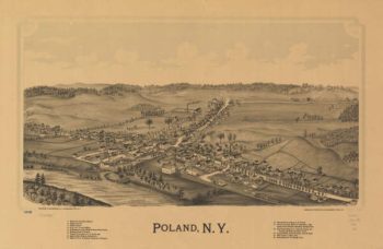
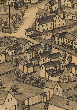
Poland NY 1890
$17.95 – $47.95 -
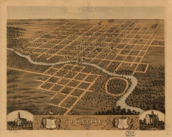
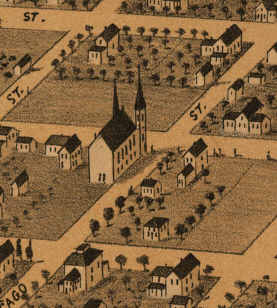
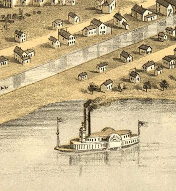
Pontiac lIllinois in 1869
$17.95 – $47.95 -
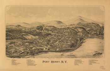
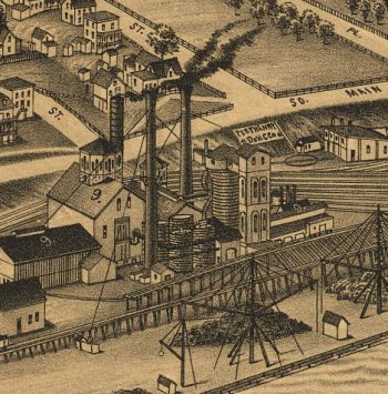
Port Henry NY 1889
$17.95 – $47.95 -
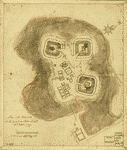
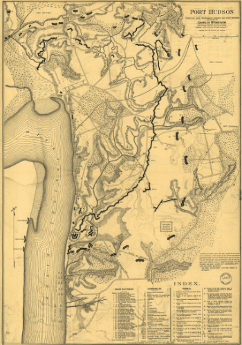
Port Hudson
$17.95 – $47.95 -
Port Hudson
$17.95 – $47.95 -
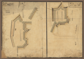
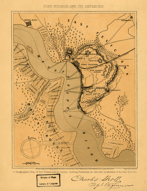
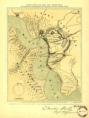
Port Hudson and its defences
$17.95 – $47.95 -
Port Hudson and its defences
$17.95 – $47.95 -
Port Hudson and its defences
$17.95 – $47.95 -
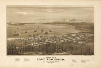
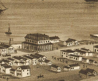
Port Townsend WA 1878
$17.95 – $47.95 -
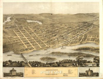
Portage WI 1868
$17.95 – $47.95 -
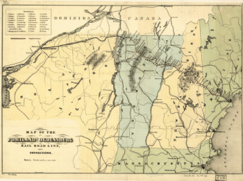
Portland and Ogdensburg Railroad
$17.95 – $47.95 -
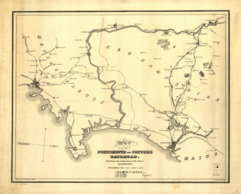
Portsmouth & Concord Railroad
$17.95 – $47.95 -
Portsmouth and Concord Railroad
$17.95 – $47.95 -
Portsmouth NH 1877
$17.95 – $47.95 -
Portsmouth, New Hampshire
$17.95 – $47.95