12" x 18"
-

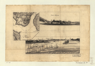
Plan d'Amboy
$17.95 – $47.95 -
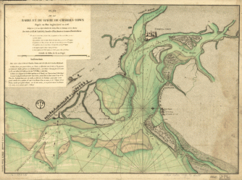
Plan de la barre et du havre de Charles-Town
$17.95 – $47.95 -
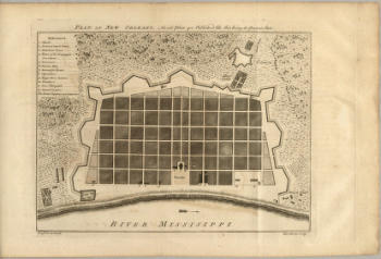
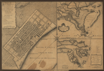
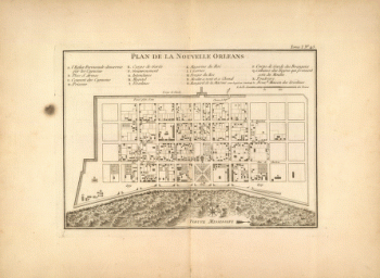
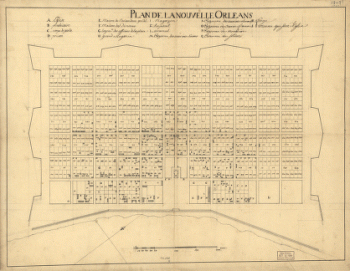
Plan de la Nouvelle Orleans
$17.95 – $47.95 -
Plan de la Nouvelle Orleans / Anonymous.
$17.95 – $47.95 -
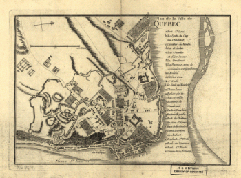
Plan de la ville de Quebec
$17.95 – $47.95 -
Plan de la ville et du port de Boston
$17.95 – $47.95 -
Plan de notre camp à New Brunswick
$17.95 – $47.95 -
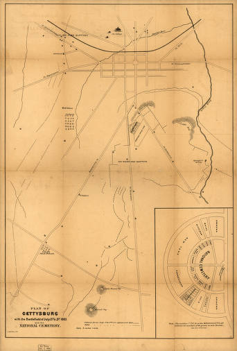
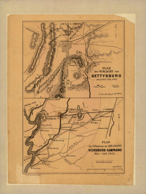
Plan der Schlacht von Gettysburg
$17.95 – $47.95 -
Plan der Schlacht von Gettysburg
$17.95 – $47.95 -
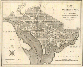
Plan der stad Washington
$17.95 – $47.95 -
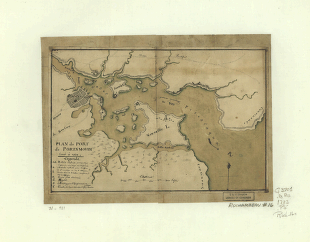
Plan du port de Portsmouth leve a vue
$17.95 – $47.95 -
Plan du port de Portsmouth levé à vue.
$17.95 – $47.95 -
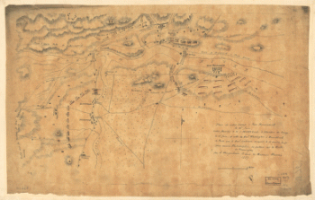
Plan of a route undertaken in winter, Jan 26th
$17.95 – $47.95 -
Plan of Boston & vicinity
$17.95 – $47.95 -
Plan of Carillon ou Ticonderoga
$17.95 – $47.95 -
Plan of Charles Town, with the intrenchments
$17.95 – $47.95 -
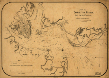
Plan of Charleston Harbor, and its fortifications
$17.95 – $47.95 -
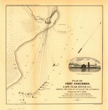
Plan of Fort Anderson, Cape Fear River, N.C
$17.95 – $47.95 -
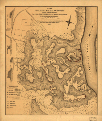
Plan of Fort Donelson and its outworks
$17.95 – $47.95 -
Plan of Fort Donelson and outworks
$17.95 – $47.95 -
Plan of Fort Donelson and outworks : [Tennessee]
$17.95 – $47.95 -
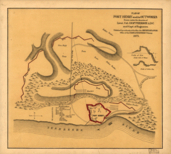
Plan of Fort Henry and its outworks
$17.95 – $47.95 -
Plan of Fort Henry and its outworks
$17.95 – $47.95 -
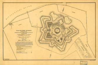
Plan of Fort Jackson
$17.95 – $47.95 -
Plan of Fort Jackson
$17.95 – $47.95 -
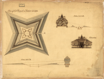
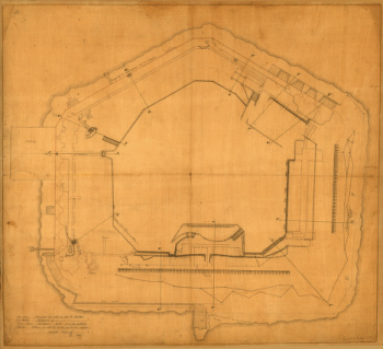
Plan of Fort Pownal at Penobscot built 1759
$17.95 – $47.95 -
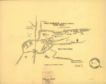
Plan of Fort Sedgwick generally known as Fort Hell
$17.95 – $47.95 -
Plan of Fort Sumter, South Carolina
$17.95 – $47.95 -
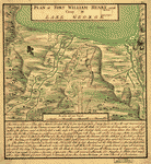
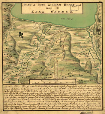
Plan of Fort William Henry and camp at Lake George
$17.95 – $47.95 -
Plan of Governor's, Kennedy's, and Brown's Islands
$17.95 – $47.95 -
Plan of New Orleans
$17.95 – $47.95 -
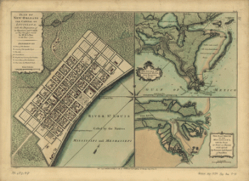
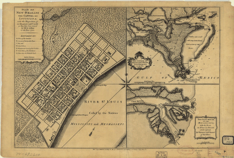
Plan of New Orleans the capital of Louisiana
$17.95 – $47.95 -
Plan of New Orleans the capital of Louisiana
$17.95 – $47.95 -
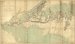
Plan of New York and Staten Islands with part of Long Island
$17.95 – $47.95 -
Plan of New York and Staten Islands with part of Long Island
$17.95 – $47.95


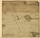
![Plan général du Fort Septentrional du Detour des Anglois, tel qu'il est présentement : [Louisiana]](https://www.ushistoricalarchive.com/wp-content/uploads/nc/data/products/im/sm/la/b14-350x178.gif)


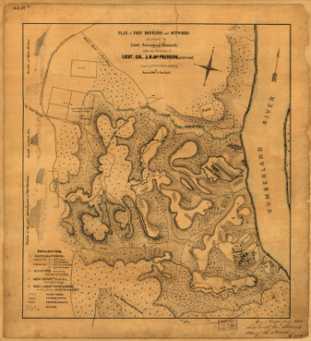
![Plan of Fort Donelson and outworks : [Tennessee]](https://www.ushistoricalarchive.com/wp-content/uploads/nc/data/products/im/sm/tn/b59-350x384.gif)