12" x 18"
-

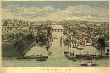
Oswego, N.Y. / Lewis Bradley del. ; on stone by D.W. Moody.
$17.95 – $47.95 -

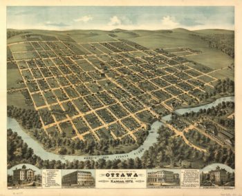
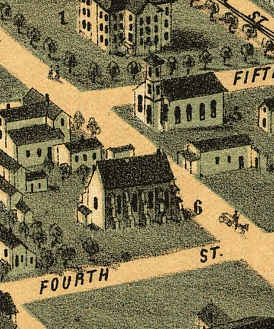
Ottawa Kansas 1872
$17.95 – $47.95 -
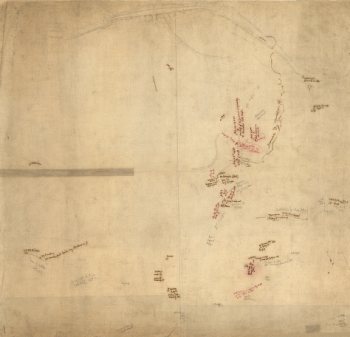
Overlay to the map of the siege of Petersburg, 1864-5
$17.95 – $47.95 -
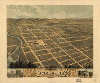
Owatonna MN Color 1870
$17.95 – $47.95 -
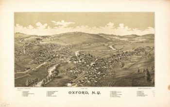
Oxford NY 1888
$17.95 – $47.95 -
Oxford PA 1907
$17.95 – $47.95 -
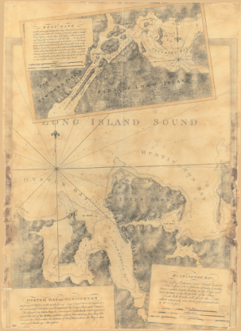
Oyster Bay and Huntington Bay
$17.95 – $47.95 -
Oyster Bay and Huntington. Huntington Bay.
$17.95 – $47.95 -
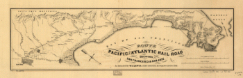
Pacific and Atlantic Railroad
$17.95 – $47.95 -
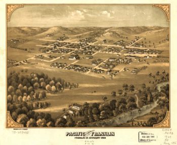
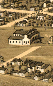
Pacific MO 1869
$17.95 – $47.95 -
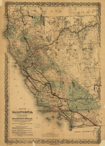
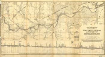
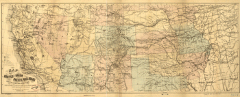
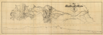
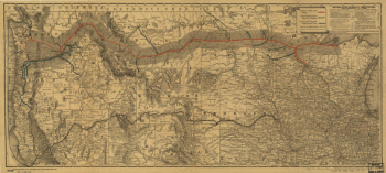
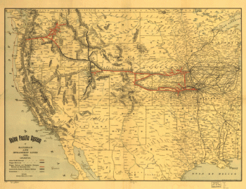
Pacific Railroad
$17.95 – $47.95 -
Pacific Railroad
$17.95 – $47.95 -
Pacific Railroad
$17.95 – $47.95 -
Pacific Railroad
$17.95 – $47.95 -
Pacific Railroad
$17.95 – $47.95 -
Pacific Railroad
$17.95 – $47.95 -
Pacific Railroad
$17.95 – $47.95 -
Pacific Railroad
$17.95 – $47.95 -
Pacific Railroad
$17.95 – $47.95 -
Pacific Railroad
$17.95 – $47.95 -
Pacific Railroad
$17.95 – $47.95 -
Pacific Railroad
$17.95 – $47.95 -
Pacific Railroad
$17.95 – $47.95 -
Pacific Railroad
$17.95 – $47.95 -
Pacific Railroad
$17.95 – $47.95 -
Pacific Railroad
$17.95 – $47.95 -
Pacific Railroad
$17.95 – $47.95 -
Pacific Railroad
$17.95 – $47.95 -
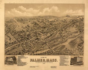
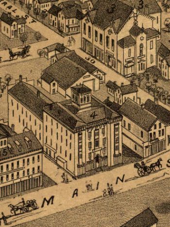
Palmer Mass 1879
$17.95 – $47.95 -
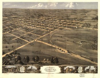
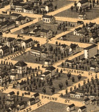
Palmyra MO 1869
$17.95 – $47.95 -
Panoramic view of the city of Halifax, Nova Scotia 1879
$17.95 – $47.95 -
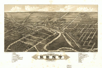
Panoramic view of the city of Kent, Portage County, Ohio 1882.
$17.95 – $47.95 -
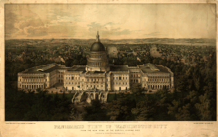
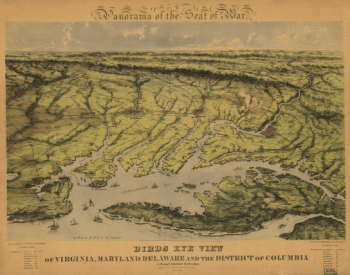
Panoramic view of Washington City
$17.95 – $47.95 -
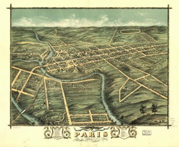
Paris Kentucky 1870
$17.95 – $47.95 -
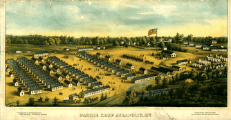
Parole Camp, Annapolis
$17.95 – $47.95 -
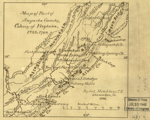
Part of Augusta County, Colony of Virginia
$17.95 – $47.95 -
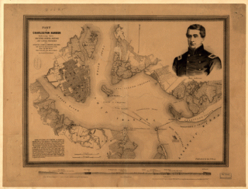
Part of Charleston Harbor
$17.95 – $47.95

![Panoramic view of the city of Jackson, Michigan 1881. [By] A. Ruger. Beck & Pauli Lith.](https://www.ushistoricalarchive.com/wp-content/uploads/nc/data/products/im/sm/mi/b36-350x228.gif)