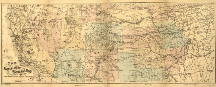
Map of the routes of the Union Pacific Rail Roads with their eastern connections, compiled from authorized explorations, public surveys, and other reliable data from the departments of the government, by W.J. Keeler, Civil Engineer, November, 1867. Strip map of the western United States from the Mississippi River to the Pacific Ocean showing relief by hachures, drainage, minerals, cities and towns, and forts. Includes completed and proposed railroads. Keeler, W. J. CREATED/PUBLISHED Washington, 1867. Scale ca. 1:3,250,000.


