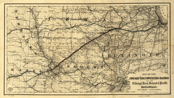
Map of the Chicago and Southwestern Railway and the Chicago, Rock Island & Pacific Railroad and their connections. Map of the midwestern states showing drainage, cities and towns, townships, counties, and the railroad network with emphasis on the main lines. G.W. & C.B. Colton & Co. CREATED/PUBLISHED New York, 1869. Scale 1:1,250,000.
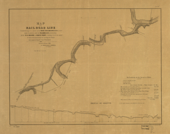
Pacific Railroad
$17.95 – $47.95
SKU: rrpr5
Related products
-

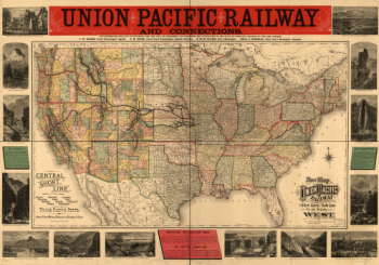
Union Pacific Railway Company
$17.95 – $47.95 -
West Philadelphia Rail Road Company
$17.95 – $47.95 -
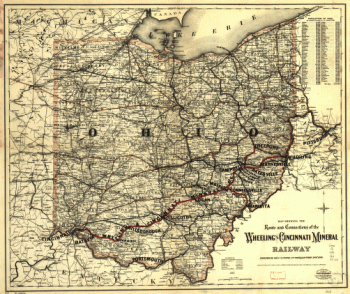
Wheeling and Cincinnati Mineral Railway
$17.95 – $47.95 -
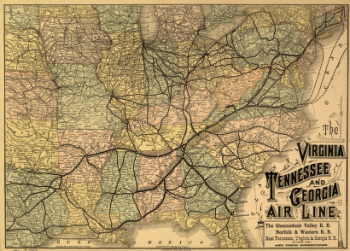
Virginia, Tennessee, and Georgia Air Line Railroad
$17.95 – $47.95