12" x 18"
-

Fort Sanders, Knoxville – Map 2
$17.95 – $47.95 -
Fort Scott, Topeka, and Lincoln Railroad
$17.95 – $47.95 -
Fort Sumter at the time of its capture
$17.95 – $47.95 -
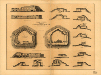
Fort Sumter, South Carolina
$17.95 – $47.95 -

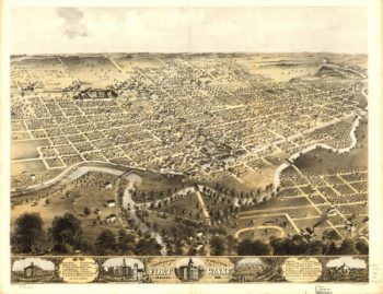
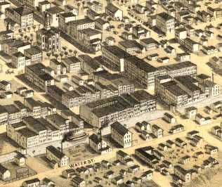
Fort Wayne Indiana 1868
$17.95 – $47.95 -
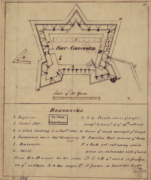
Fort-Griswold
$17.95 – $47.95 -
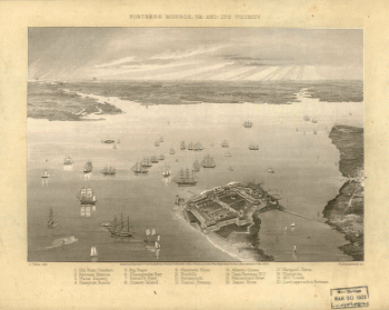
Fortress Monroe, Va. and its vicinity
$17.95 – $47.95 -
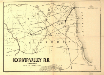
Fox River Valley Railroad
$17.95 – $47.95 -
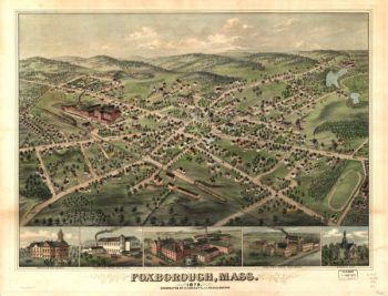
Foxborough Massachusetts 1879
$17.95 – $47.95 -
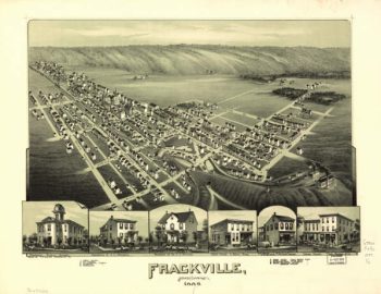
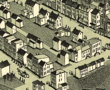
Frackville PA 1889
$17.95 – $47.95 -
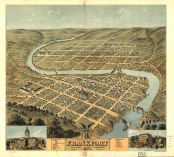
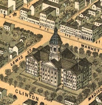
Frankfort Kentucky 1871
$17.95 – $47.95 -
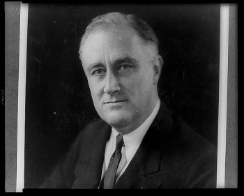
Franklin Delano Roosevelt
$17.95 – $47.95 -
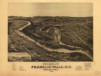
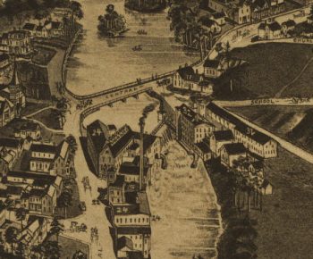
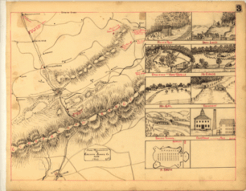
Franklin Falls NH 1884
$17.95 – $47.95 -
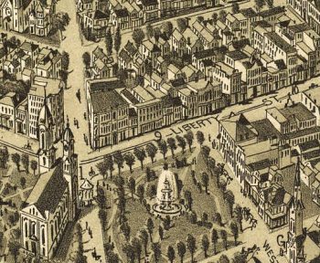
Franklin PA 1901
$17.95 – $47.95 -
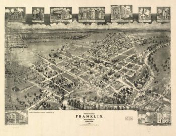
Franklin VA 1907
$17.95 – $47.95 -
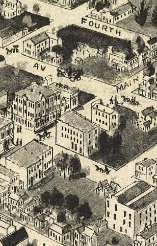
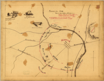
Franklin, Tenn
$17.95 – $47.95 -
Franklin, Tennessee
$17.95 – $47.95 -
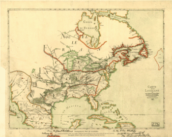
Franquelin's map of Louisiana.
$17.95 – $47.95 -
Frederick County from from Wood's map
$17.95 – $47.95 -
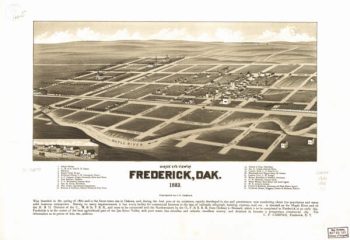
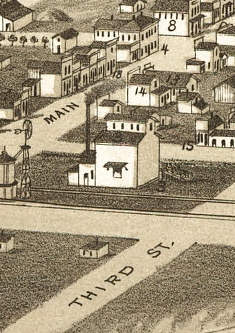
Frederick SD 1883
$17.95 – $47.95 -
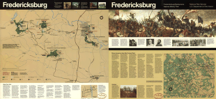
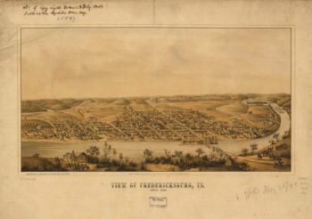
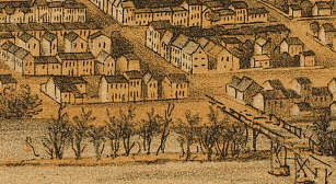
Fredericksburg
$17.95 – $47.95 -
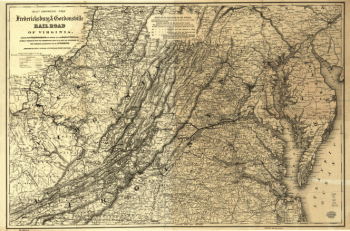
Fredericksburg and Gordonsville Railroad
$17.95 – $47.95 -
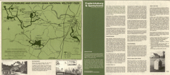
Fredericksburg and Spotsylvania National Military Park
$17.95 – $47.95 -
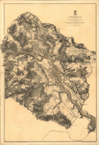
Fredericksburg in Dec. 1862
$17.95 – $47.95 -
Fredericksburg VA 1863
$17.95 – $47.95 -
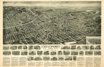
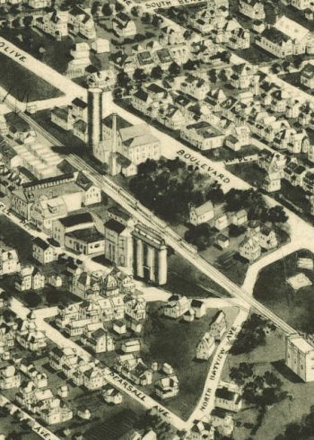
Freeport NY 1925
$17.95 – $47.95 -
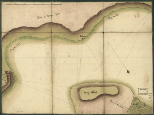
Frog's Point avec batteries de Partie de Longue Island.
$17.95 – $47.95 -
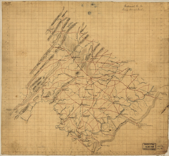
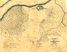
From Mitchelsville [sic] to Gallatin–Sumner Co., Tenn., 1862
$17.95 – $47.95 -
From Mitchelsville to Gallatin–Sumner Co.
$17.95 – $47.95 -
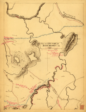
From the Etowah to Burnt-Hickory, Ga.
$17.95 – $47.95 -
From the valley of the Mud Lakes to the Pacific Ocean.
$17.95 – $47.95 -
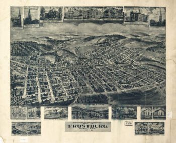
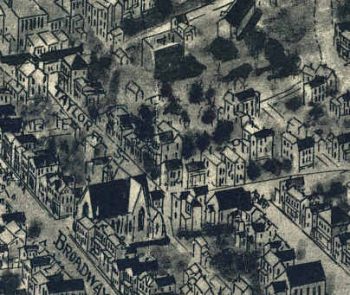
Frostburg Maryland 1905
$17.95 – $47.95 -
Ft. McAllister
$17.95 – $47.95 -
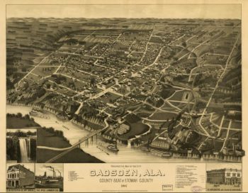
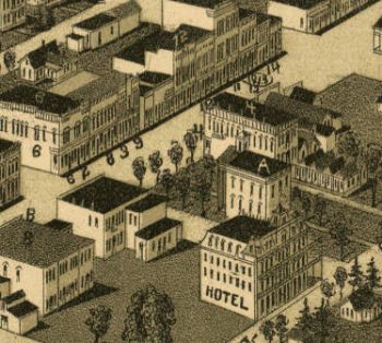
Gadsden AL in 1887
$17.95 – $47.95 -
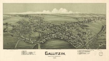
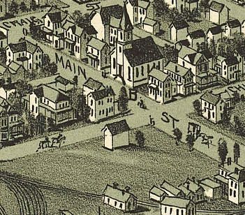
Gallitzin PA 1901
$17.95 – $47.95 -
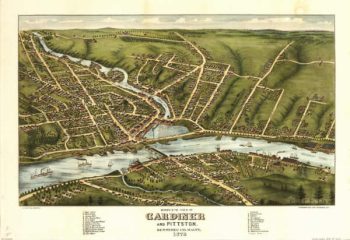
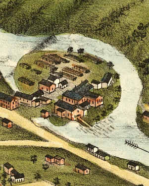
Gardiner Maine Color 1878
$17.95 – $47.95 -
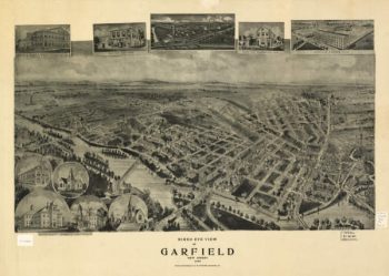
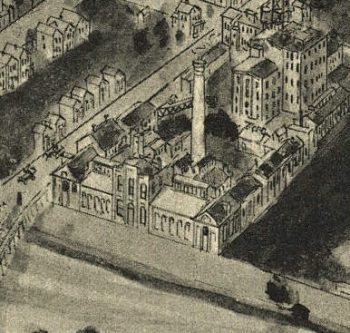
Garfield NJ 1909
$17.95 – $47.95 -
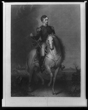
Gen. Franklin Pierce
$17.95 – $47.95 -
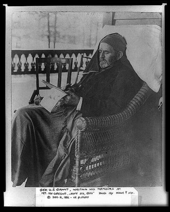
Gen. U.S. Grant writing his memoirs
$17.95 – $47.95 -
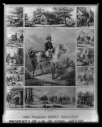
Gen. William Henry Harrison
$17.95 – $47.95 -
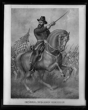
General Benjamin Harrison – 'Come on boys!'
$17.95 – $47.95 -
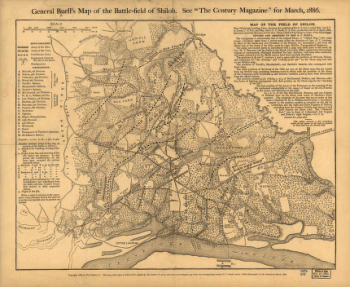
General Buell's map of the battle-field of Shiloh
$17.95 – $47.95 -
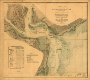
General map of Charleston Harbor
$17.95 – $47.95 -
General map of the battle-field of Manassas
$17.95 – $47.95 -
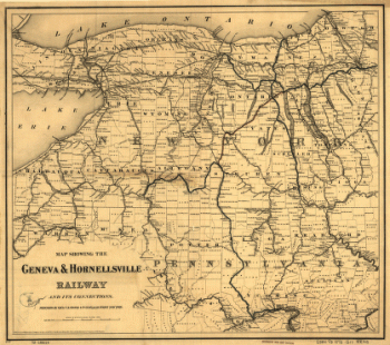
Geneva & Hornellsville Railroad and its connections
$17.95 – $47.95

![Franklin and Franklin Falls, N.H., Merrimack County, 1884. [Drawn by] H. Wellge.](https://www.ushistoricalarchive.com/wp-content/uploads/nc/data/products/im/sm/nh/b21-350x263.gif)

![From Mitchelsville [sic] to Gallatin--Sumner Co., Tenn., 1862](https://www.ushistoricalarchive.com/wp-content/uploads/nc/data/products/im/sm/tn/b51-350x273.gif)
![General Buell's map of the battle-field of Shiloh. [April 6-7, 1862]](https://www.ushistoricalarchive.com/wp-content/uploads/nc/data/products/im/sm/tn/b67-350x287.gif)