12" x 18"
-

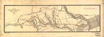
Columbia-Philadelphia Railroad
$17.95 – $47.95 -
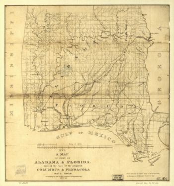
Columbus and Pensacola Railroad
$17.95 – $47.95 -

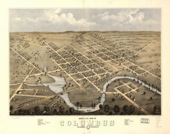
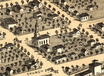
Columbus WI 1868
$17.95 – $47.95 -
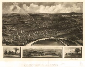
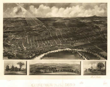
Concord NH 1899
$17.95 – $47.95 -
Concord, N.H. 1899.
$17.95 – $47.95 -
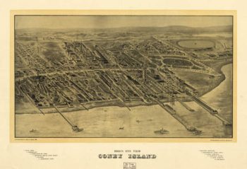
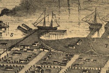
Coney Island NY 1906
$17.95 – $47.95 -
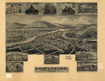
Confluence PA 1905
$17.95 – $47.95 -
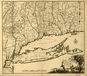
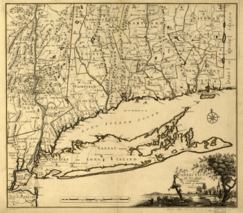
Connecticut and parts adjacent
$17.95 – $47.95 -
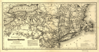
Connecticut Western Railroad Co
$17.95 – $47.95 -
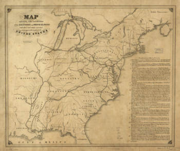
Connection of the Baltimore and Ohio rail road
$17.95 – $47.95 -
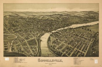
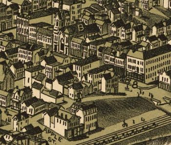
Connellsville PA 1897
$17.95 – $47.95 -
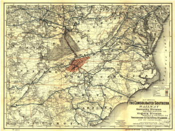
Consolidated Southern Railway
$17.95 – $47.95 -
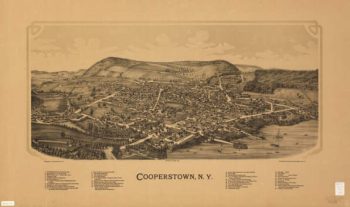
Cooperstown NY 1890
$17.95 – $47.95 -
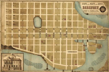
Copy of the plot of the city of Beaufort, South Carolina
$17.95 – $47.95 -
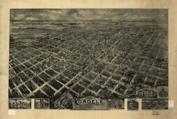
Cordele Georgia in 1908
$17.95 – $47.95 -
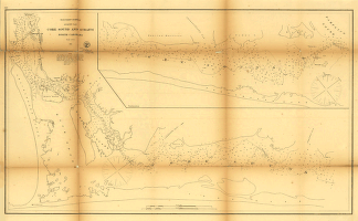
Core Sound and Straits, North Carolina.
$17.95 – $47.95 -
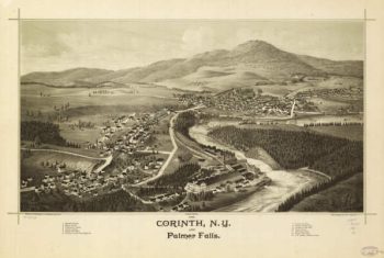
Corinth NY 1888
$17.95 – $47.95 -
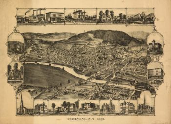
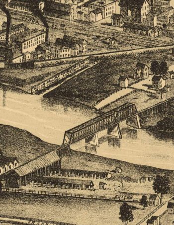
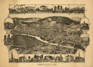
Corning NY 1882
$17.95 – $47.95 -
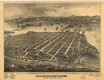
Coronado CA in 1880's
$17.95 – $47.95 -
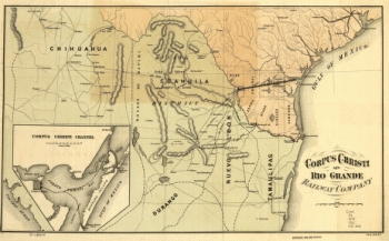
Corpus Christi and Rio Grande Railway
$17.95 – $47.95 -
Corpus Christi and Rio Grande Railway Company
$17.95 – $47.95 -
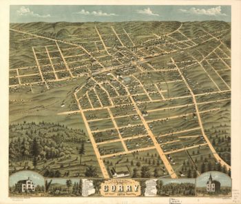
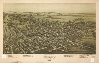
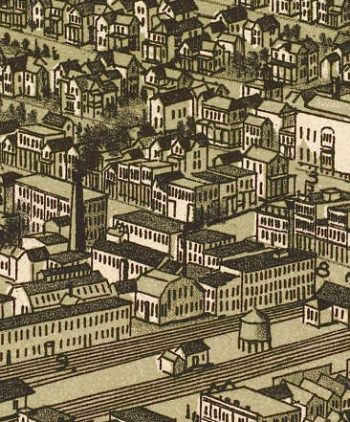
Corry PA 1870
$17.95 – $47.95 -
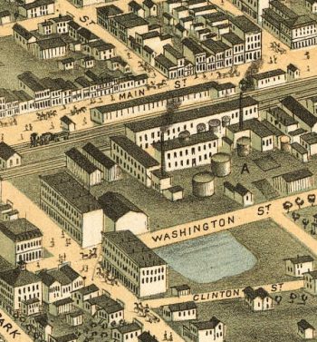
Corry PA 1895
$17.95 – $47.95 -
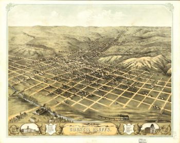
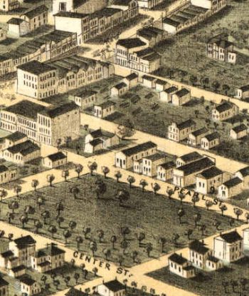
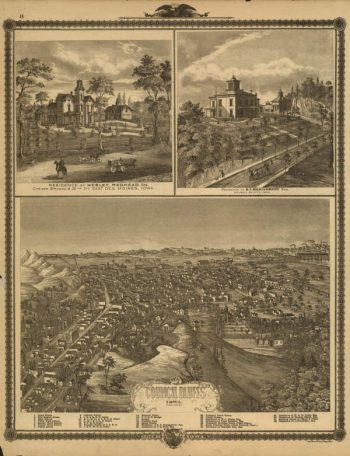
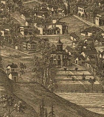
Council Bluffs Iowa 1868
$17.95 – $47.95 -
Council Bluffs Iowa 1875
$17.95 – $47.95 -
Cram's township and rail road map of New York.
$17.95 – $47.95 -
Culpeper County
$17.95 – $47.95 -
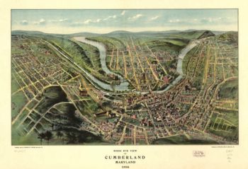
Cumberland Maryland Color 1906
$17.95 – $47.95 -
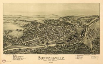
Curwensville PA 1895
$17.95 – $47.95 -
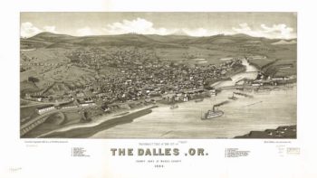
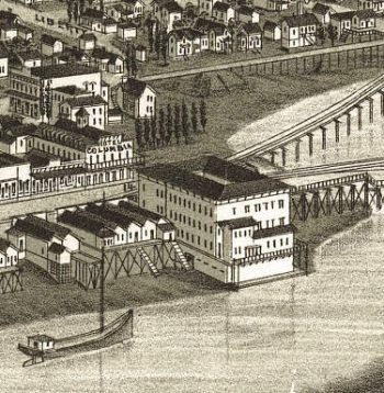
Dalles OR 1884
$17.95 – $47.95 -
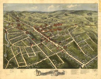
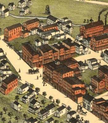
Danbury CT in 1875
$17.95 – $47.95 -
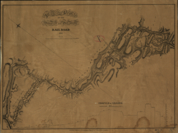
Danville and Pottsville Rail Road Company
$17.95 – $47.95 -
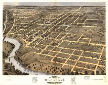
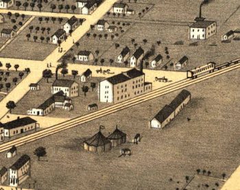
Danville Illinois in 1869
$17.95 – $47.95 -
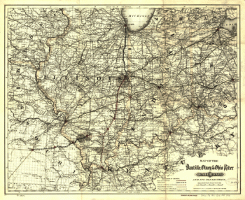
Danville, Olney, and Ohio River Railroad
$17.95 – $47.95 -
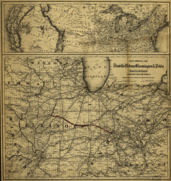
Danville, Urbana, Bloomington, and Pekin Railroad
$17.95 – $47.95 -
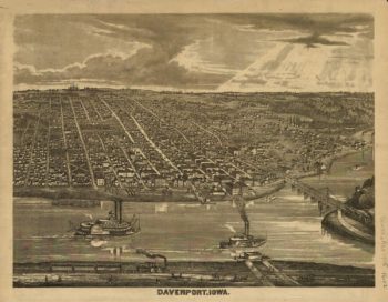
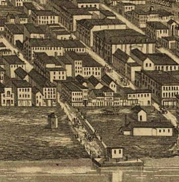
Davenport Iowa 1875
$17.95 – $47.95 -
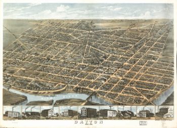
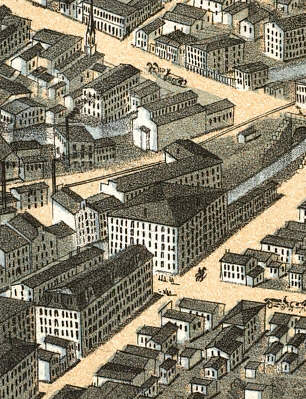
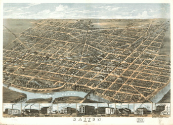
Dayton OH 1870
$17.95 – $47.95 -
Dayton, Ohio 1870.
$17.95 – $47.95 -
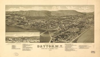
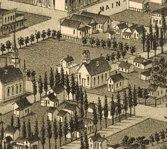
Dayton, WA 1884
$17.95 – $47.95 -
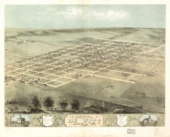
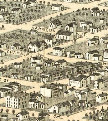
De Witt Iowa 1868
$17.95 – $47.95 -
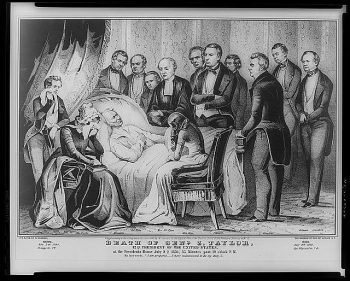
Death of Genl. Z. Taylor
$17.95 – $47.95 -
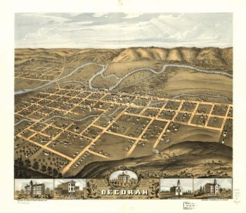
Decorah Iowa 1870
$17.95 – $47.95 -
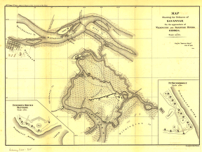
Defences of Savannah
$17.95 – $47.95