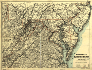
Maps showing the Danville, Urbana, Bloomington & Pekin Railroad and its connections. Map of the midwestern states shows drainage, cities and towns, township and county boundaries, and the railroads with emphasis on the main line and mileage between stations. General map shows transcontinental railroad connections. G.W. & C.B. Colton & Co. CREATED/PUBLISHED New York, 1869. Scale 1:1,250,000 and ca. 1:7,500,000.


